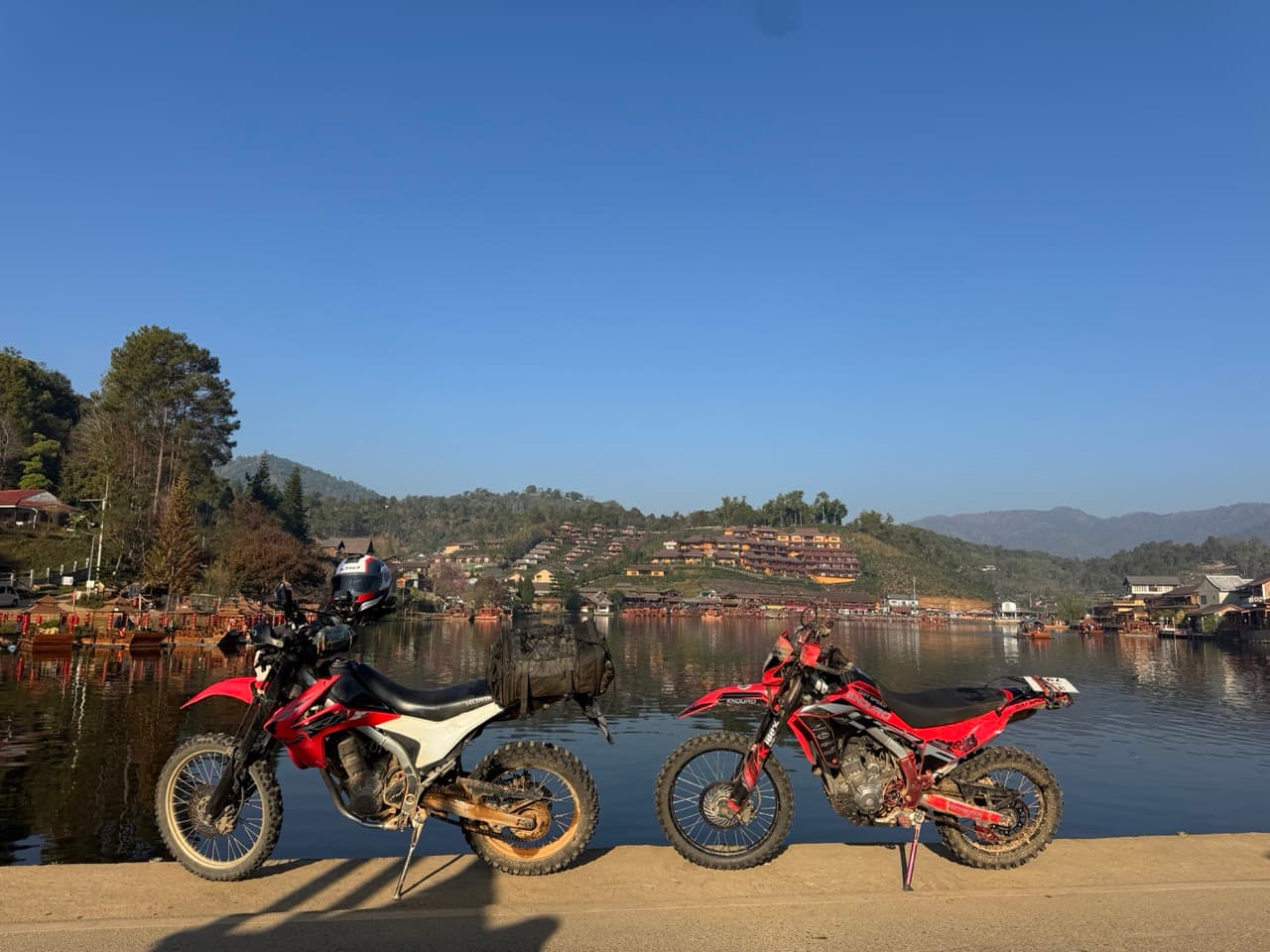
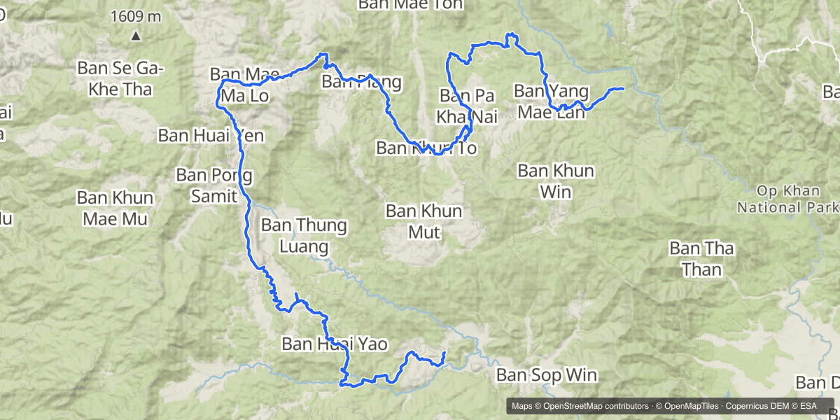
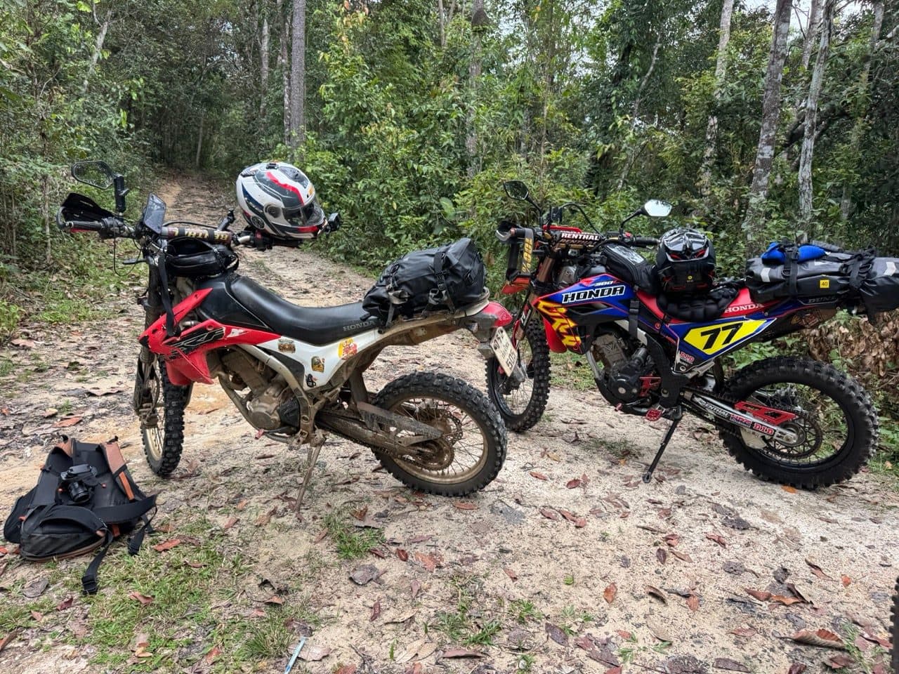
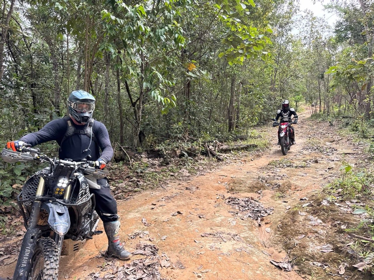
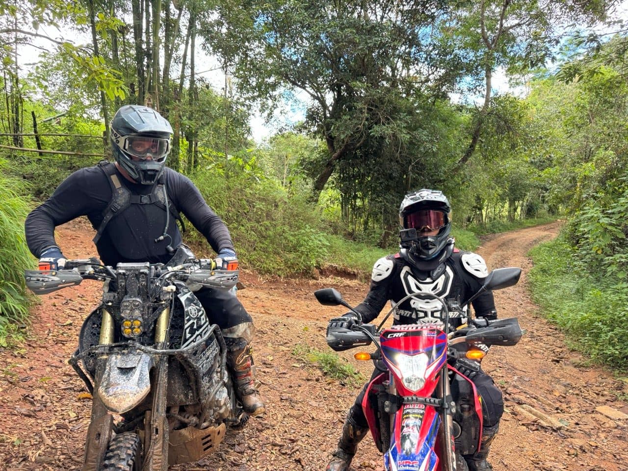
Four of us out of Samoeng Tai on a Sunday morning in September — a Ténéré 700, two CRF300Ls and a CRF250L — heading west on farm roads until the farms ran out, then south through Karen villages into Mae Win. The tracker says 81.3 km over five and a quarter hours, of which only about two and three quarters was actually moving. The rest was stopping to look at things, a long lunch, and picking bikes back up out of the clay.
| Quick Facts | |
|---|---|
| Date | Sunday 27 September 2026 |
| Distance | 81.3 km |
| Time | 09:55 to 15:09 — 2 h 53 m moving, 2 h 22 m stopped |
| High point | 1,343 m, from 470 m at the low end |
| Climbing | ~2,650 m |
| Riders | 4 — a Yamaha Ténéré 700, two Honda CRF300Ls and a CRF250L |
| Season | Late green season (September) |
| Surface | Red clay, farm two-track, village singletrack, one ford, one log bridge |
| Falls | Several, spread through the day. All of them the surface, none of them the terrain |
| Mechanicals | None |
| Notable | Wat Phra That Si Somdet Phra Phuttha Chinawong, and elephants at the end |
Out of Samoeng
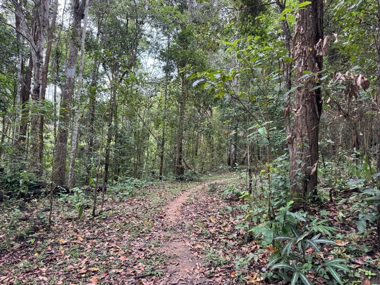
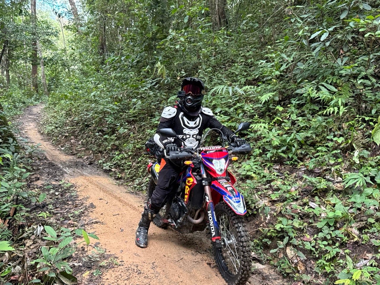
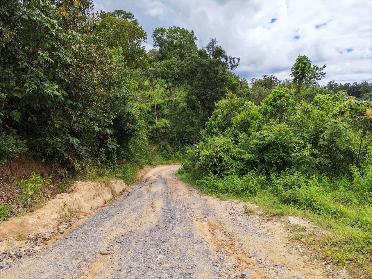
The first hour is the easy part and it is worth enjoying while it lasts. You leave Samoeng Tai on forest two-track under teak — dry enough that the leaf litter crunches, wide enough that nobody has to think about it. Then the trail narrows, tips downhill, and stops being dry.
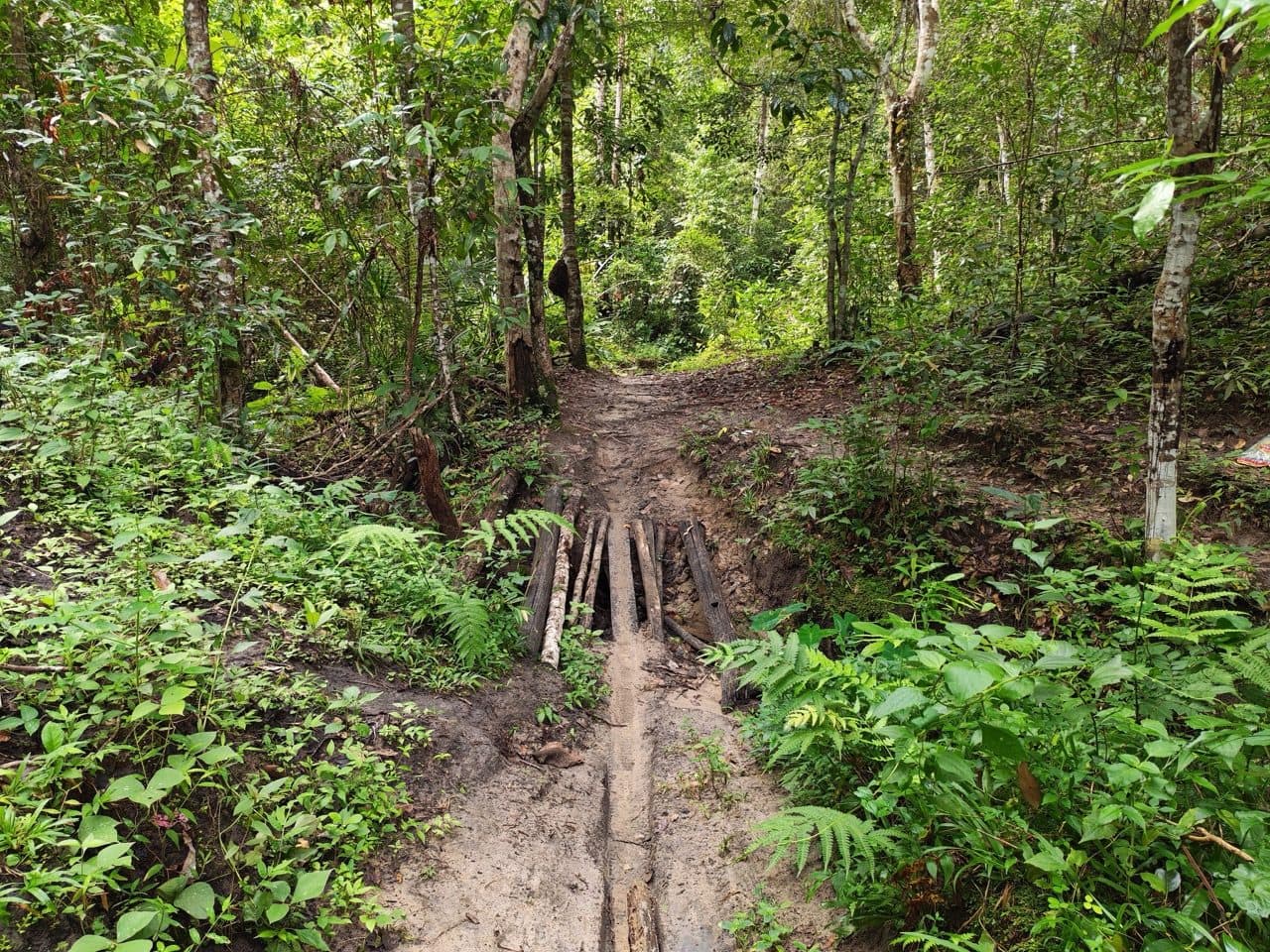
The first thing that actually asks a question is a washed-out culvert about forty minutes in, with a handful of logs laid across the gap. There is a rut either side deep enough to take a footpeg, and the logs have been down there long enough to go smooth. One bike at a time, then, with someone stood on the far side watching the line.
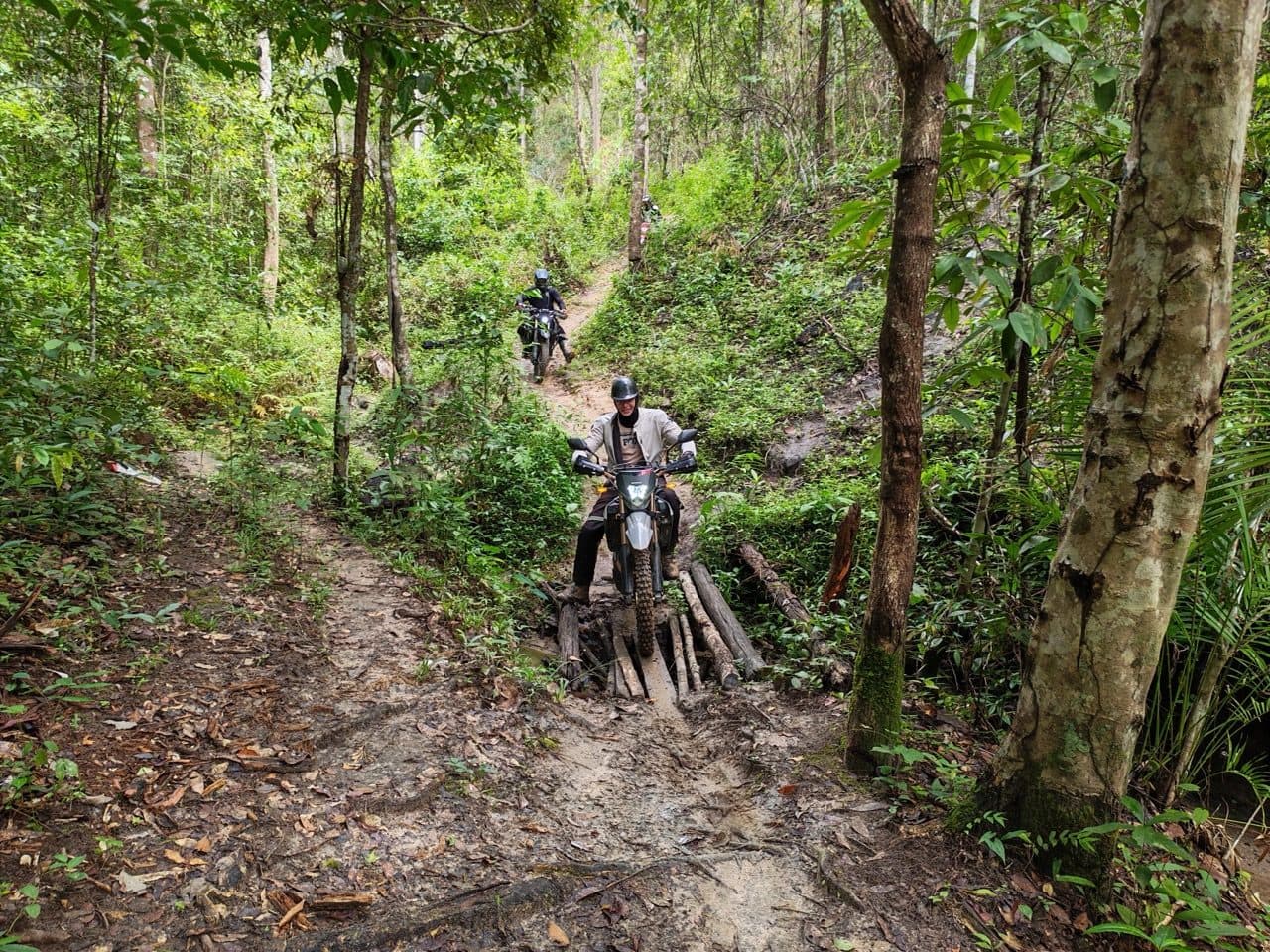
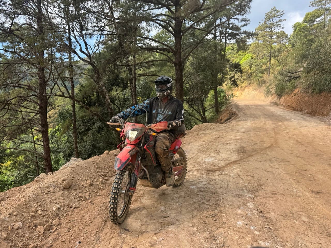
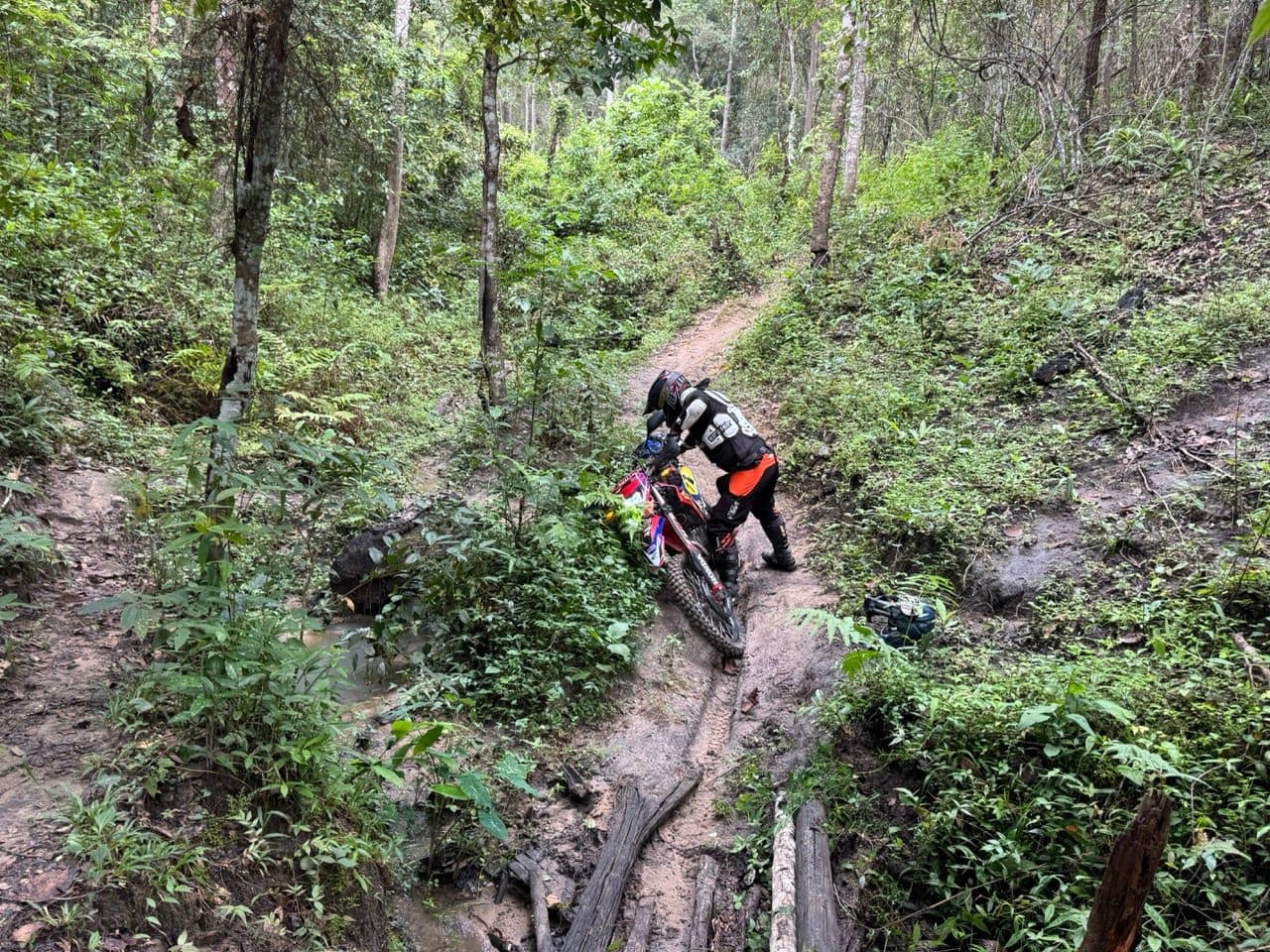
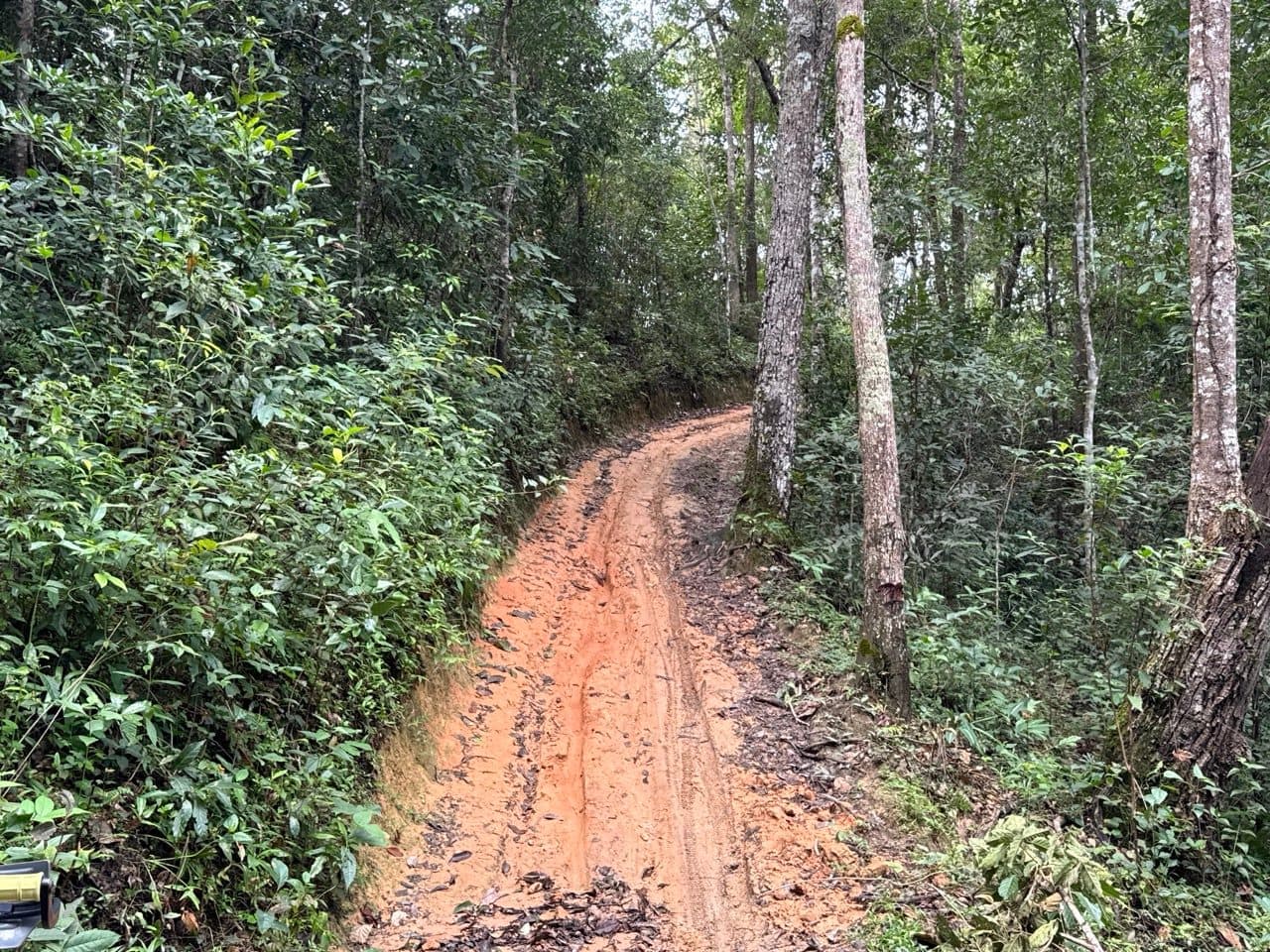
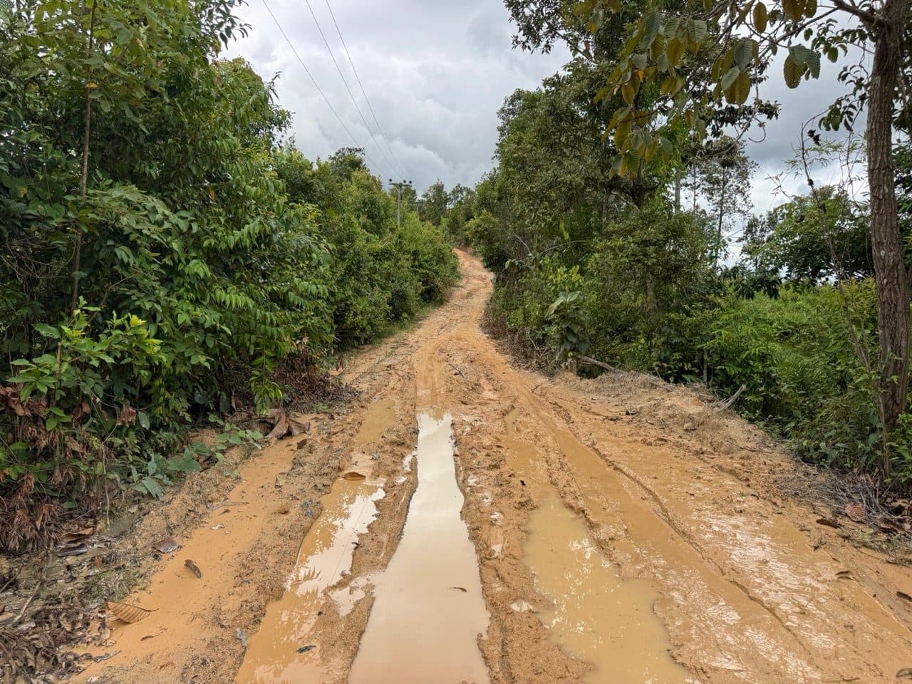
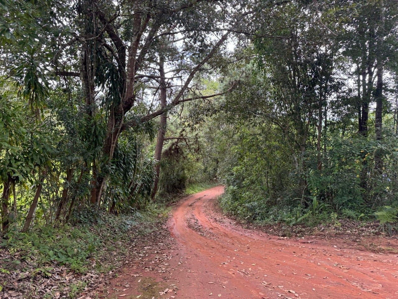
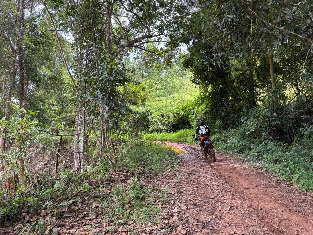
Straight above the culvert the track goes up in a wet rut, and that is where the day showed its hand. Red clay with a film of water on it does not so much let go as decline to grip in the first place. There is no drama in it — the front simply goes somewhere you did not ask for, and you are on the floor before you have finished deciding what to do about it. Between the four of us that happened a fair few times over the course of the day, spread out rather than clustered anywhere in particular. Every one of them was the surface rather than anything technical. Nobody was hurt and nothing broke.
Up onto the corn ridge
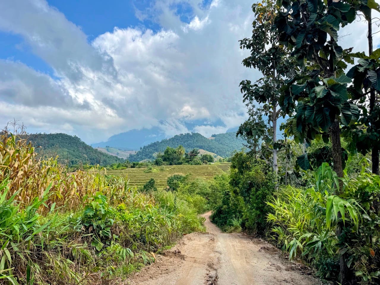
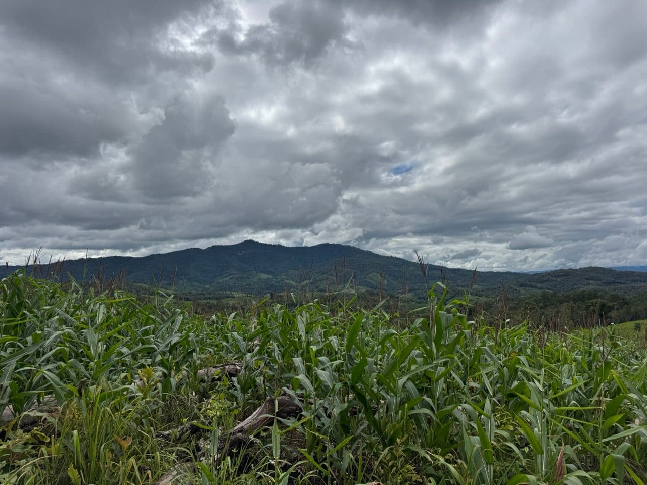
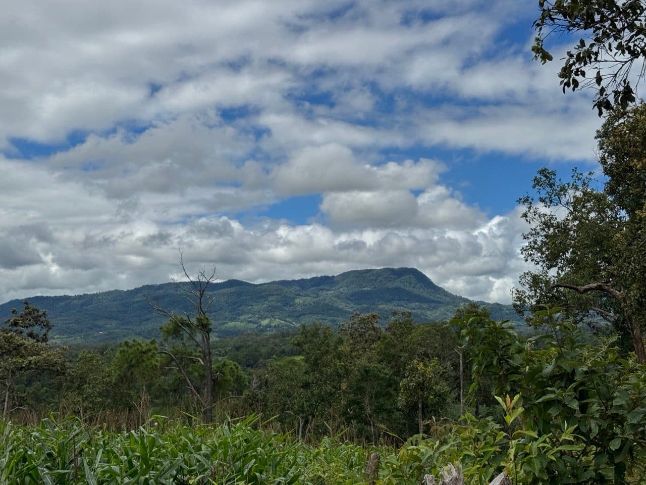
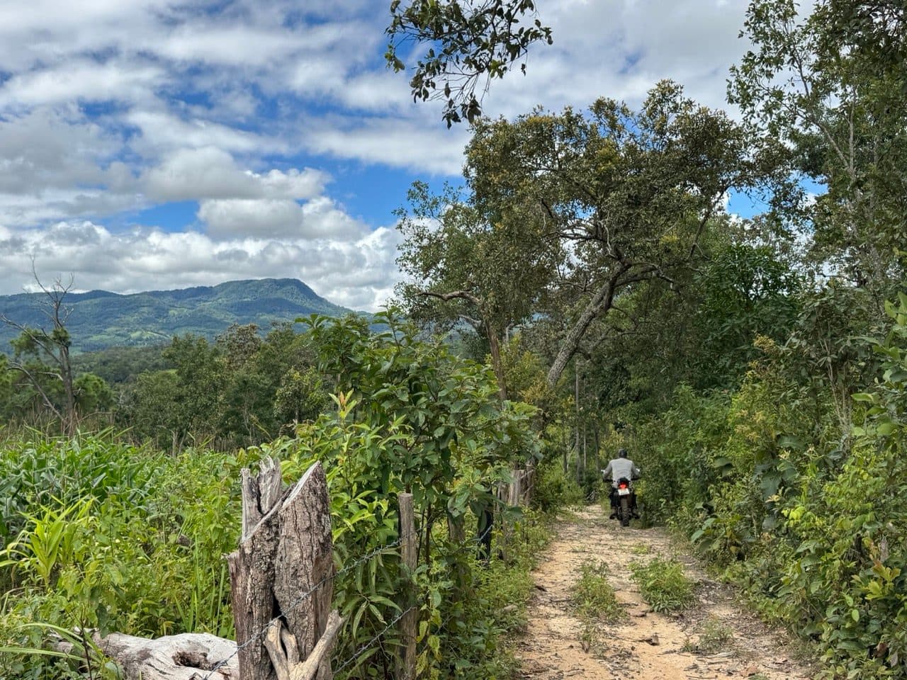
The trees thin out towards the top and you come out on the corn. Late September means it is all in and green, and the weather up there does whatever it likes — we had heavy grey cloud sitting on the hills one minute and clear blue over the flat-topped mountain to the west a few minutes later, looking in slightly different directions from more or less the same spot.
Village roads, and the water
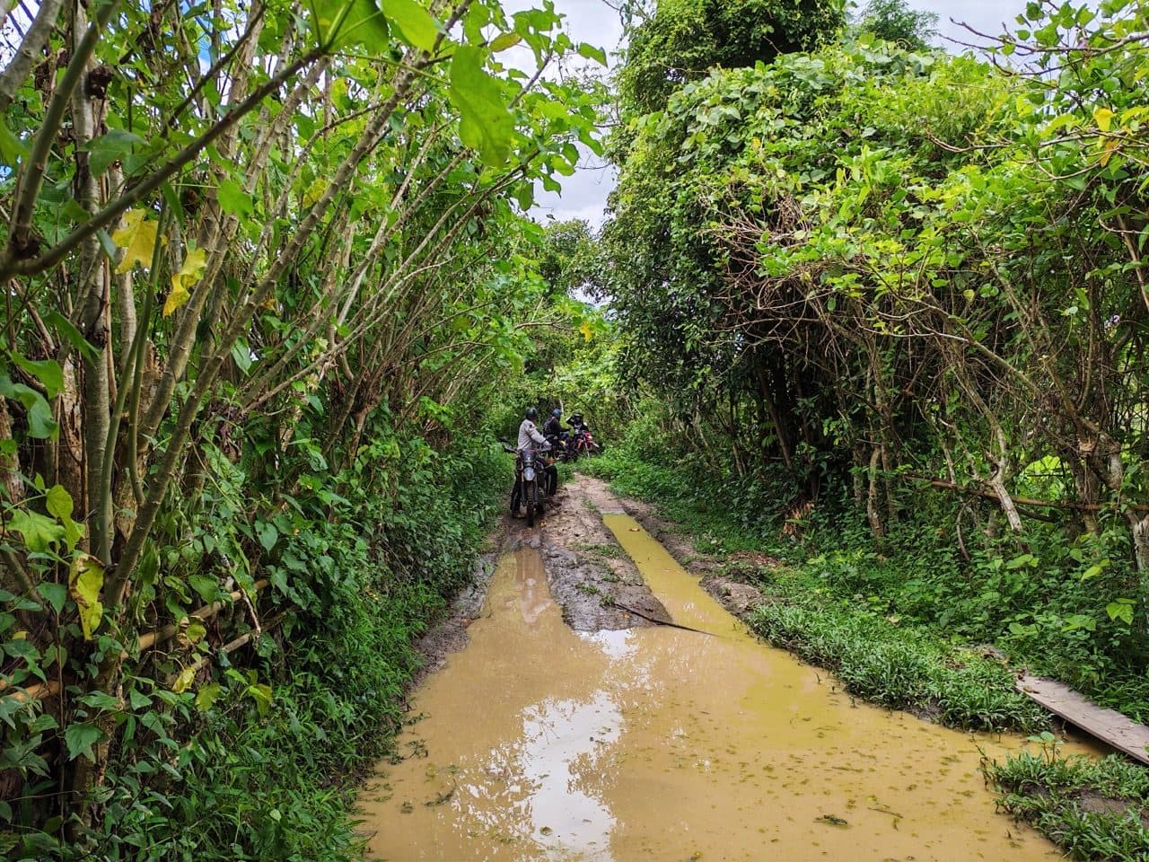
Off the ridge the route drops into the villages and the surface changes character every few kilometres — fresh gravel through one, hardpack through the next, and then a lane with a puddle running its full width and no dry line on either side. Those are the ones to take seriously. They are the colour of milky tea, you cannot see the bottom, and the ruts hiding under them are deeper than the flat brown surface suggests. More than one of the day's falls started with a puddle that turned out to have a step in it.
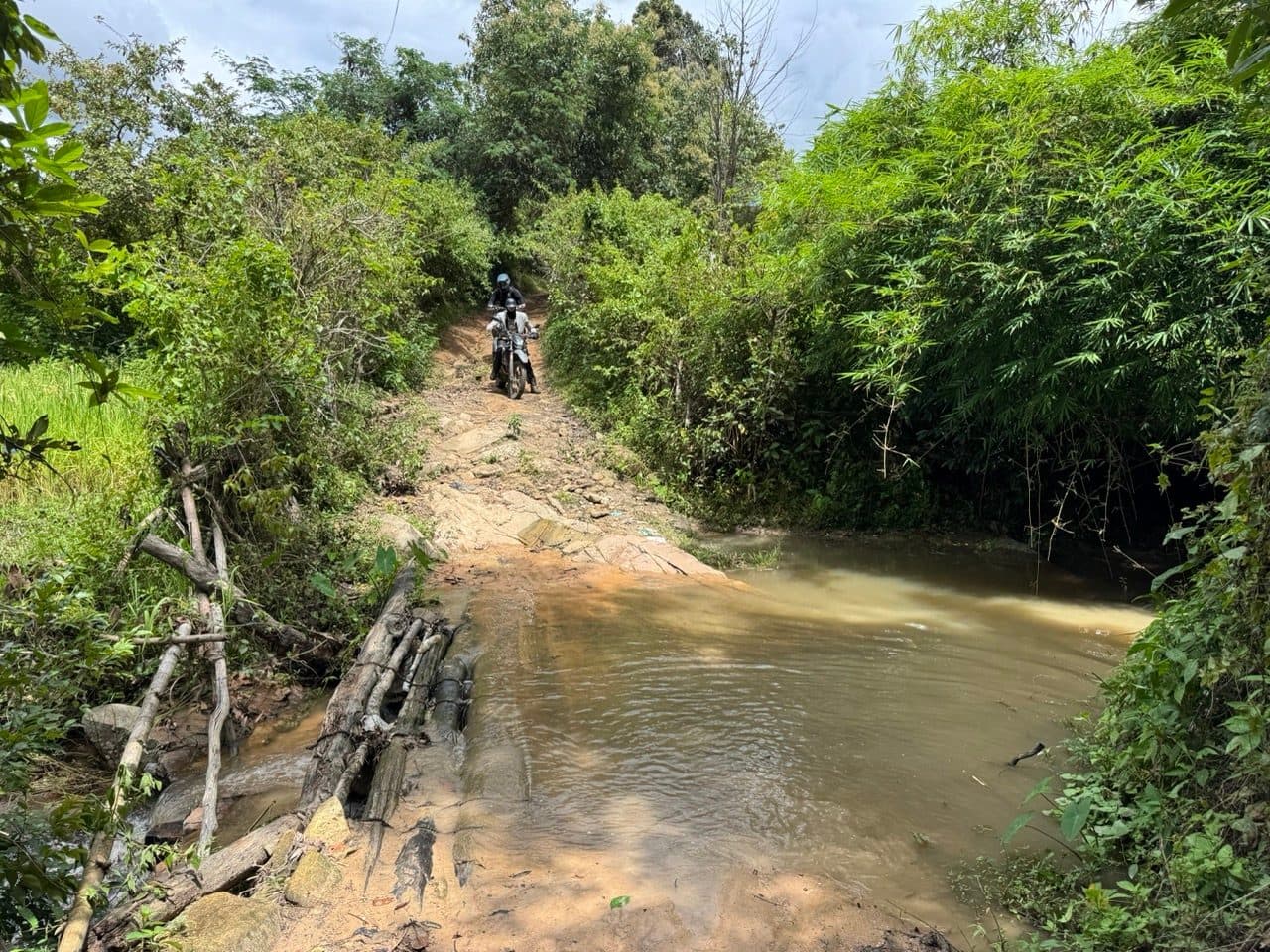
There is a proper stream crossing as well, running over slab rock with a bamboo footbridge alongside for anyone on two feet. The rock has more grip than it looks like it should. The clay on the climb out of it does not.
Lunch in Ban Mae Hae Nuea
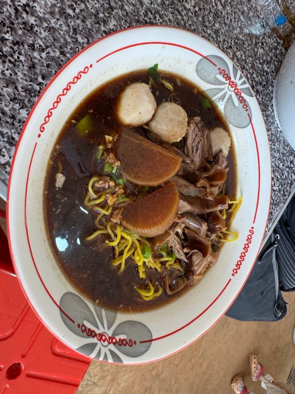
The westernmost point of the day is Ban Mae Hae Nuea, almost into Mae Chaem district, and there is a new hole-in-the-wall noodle shop there. Beef, meatballs, radish and egg noodles in a dark broth. The tracker sat completely still for forty-nine minutes, which tells you roughly how we felt about getting back on.
South towards Mae Win
After lunch the route turns south and the character shifts again — less forest, more farmland, and red clay lanes that follow the contour instead of going straight up it. This is the best hour of the day, and the one where you actually get to ride rather than negotiate.
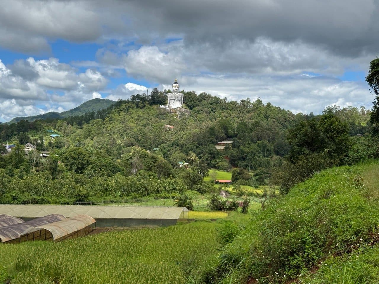
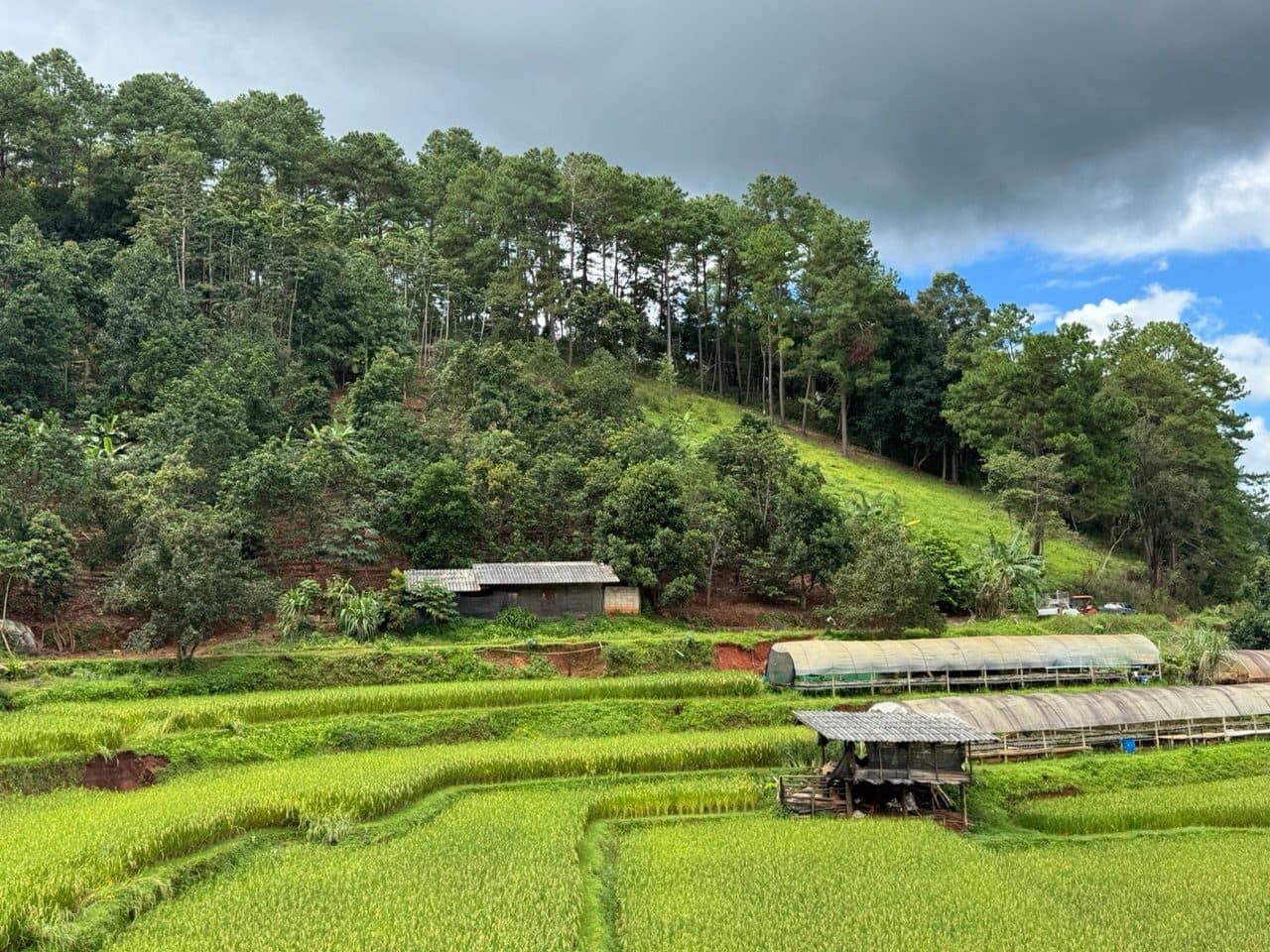
The landmark on this stretch is Wat Phra That Si Somdet Phra Phuttha Chinawong — a large white seated Buddha up on a hill above the valley. From the track you get it framed by rice terraces and grow tunnels, which is not a combination anybody would have designed on purpose and which works anyway.
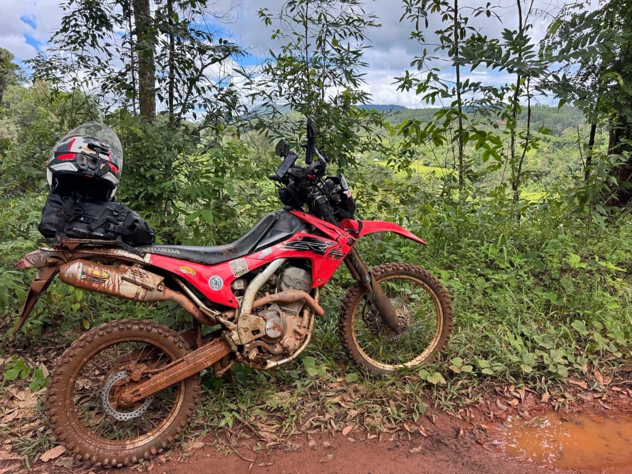
By early afternoon none of the bikes looked like bikes any more. The 250 in particular had gone the colour of the road.
The log bridge and the run in
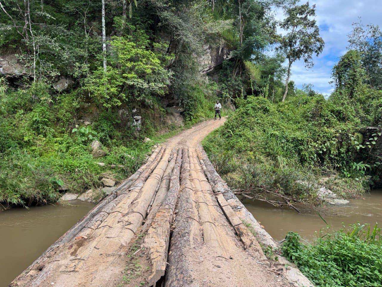
The last third has the single best feature on the route: a set of logs lashed together across the river underneath a rock face, with the track doglegging straight off the far end. It is wide enough and it is solid enough. It just does not look either of those things on the approach.
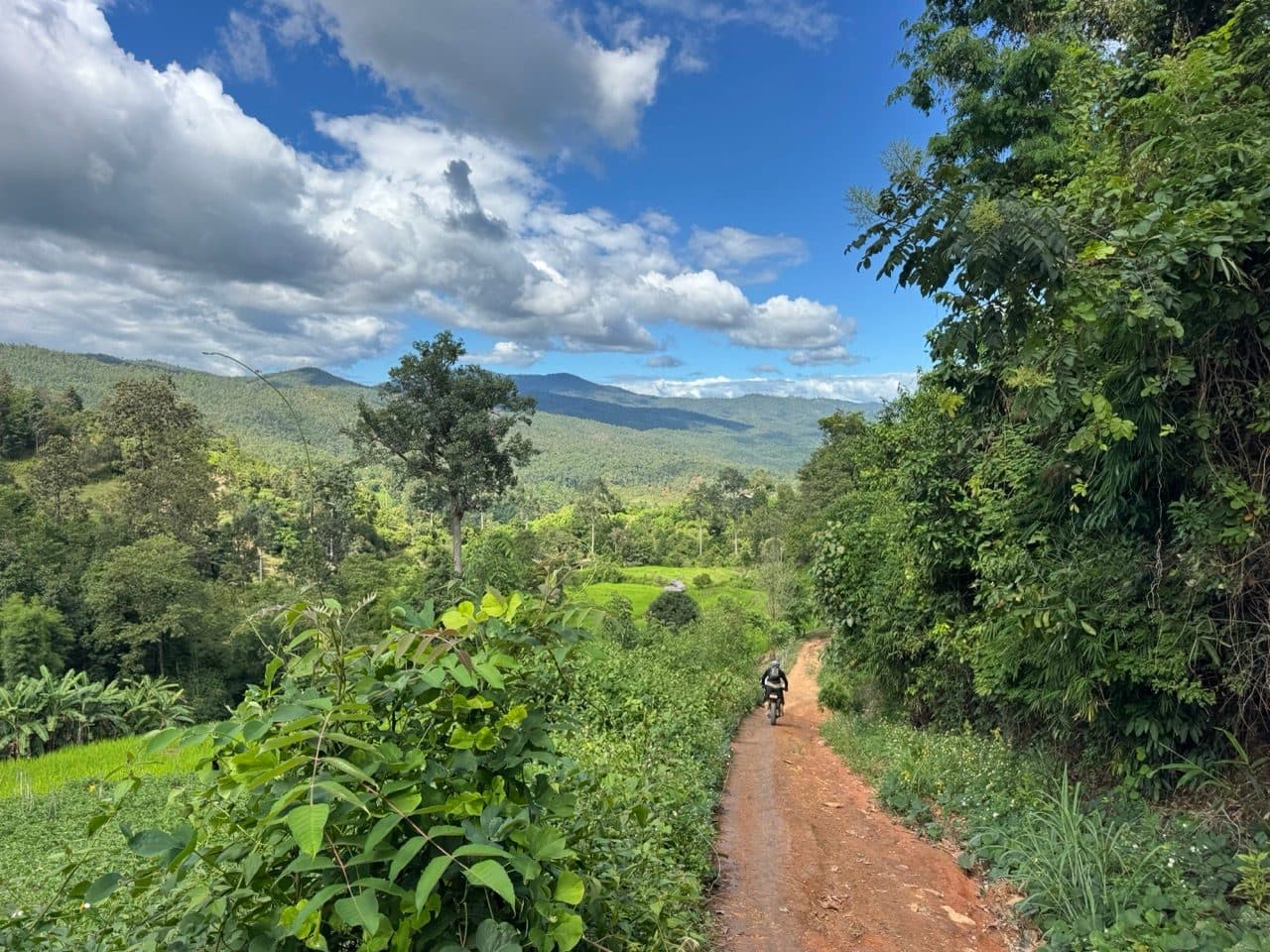
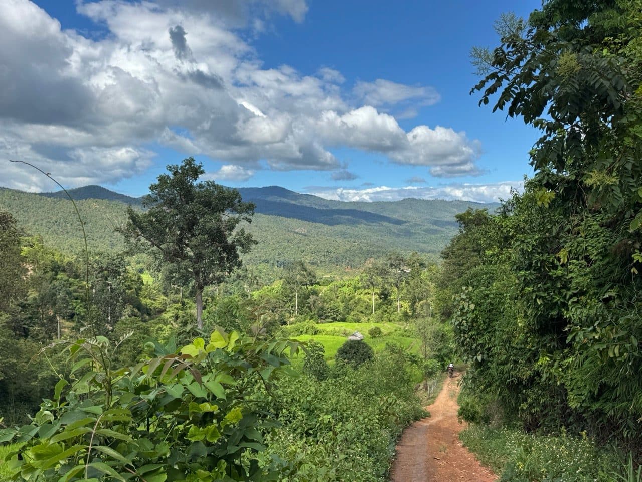
Past the river the track climbs onto a red ridge and opens right up. That is the bit the drone got, and also the bit where the drone stopped — the first clip ends abruptly with the camera on its back in the leaf litter after an argument with a tree. Worth saying, since it is the reason to carry a DJI Neo 2 out here at all: it went into the branches, came back out of them, and was flying again the same afternoon.
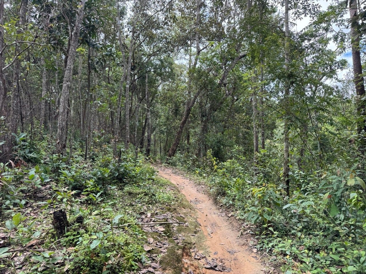
From the ridge it is downhill into the Mae Win valley on singletrack, with the whole of it laid out in front of you. After five hours of watching the front wheel it is a good way to finish.
Elephants at the end
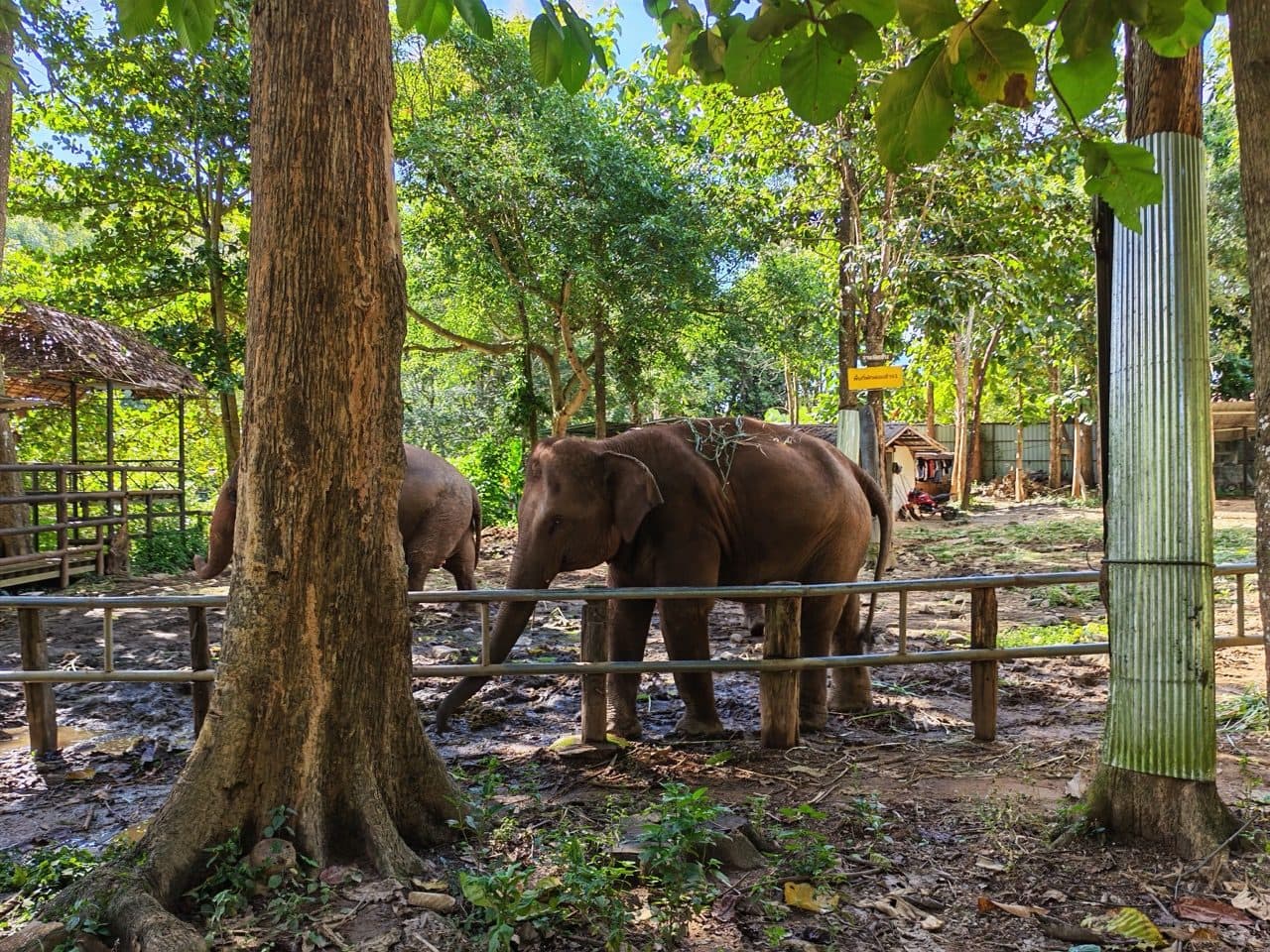
The tracker stopped at 15:09 on the valley floor, and we carried on east along the Mae Wang to Tawan Riverside, which sits among the elephant camps on that stretch of river. The last photo is twelve minutes and about nine kilometres past the end of the GPX, so if you follow the track exactly it will not take you there. Keep going east along the river and you will find it.
Practical notes
- ·Bike — anything trail-capable does it. We had a Ténéré 700, two CRF300Ls and a CRF250L, and the T7 got through everything. It is the surface that decides the day, not the displacement.
- ·Tyres — this is the whole ballgame in green season. Wet red clay with moss on it is as slippery as this region gets. Bring proper knobbies and accept you will still go down.
- ·Puddles — treat every one as deeper than it looks and walk the doubtful ones. Several of ours had a rut or a step hidden under flat brown water.
- ·Water crossings — one real ford on slab rock, plus a log bridge over the river. Both fine in late September. Neither would be fun after heavy rain upstream.
- ·Fuel — top up before you leave. There is fuel in the villages, but it is bottles and drums rather than pumps, so do not plan around it.
- ·Signal — patchy through the valleys. Download the track offline before you go.
- ·First aid — carry something. The falls on this route are low-speed, but you are a long way from Chiang Mai and the nearest hospital.
- ·Skill level — intermediate. Nothing here is technically hard. The difficulty is entirely traction, and it rewards patience over commitment.
- ·Time — allow a full day. We were out five and a quarter hours and only riding for three of them.
FAQ
- How long is the Samoeng to Mae Win offroad ride?
- 81.3 km, with about 2,650 m of climbing. We were out from 09:55 to 15:09 — five and a quarter hours elapsed, but only 2 h 53 m of that was actually moving. Allow a full day.
- How hard is it?
- Intermediate. There is no single technical obstacle that will stop you — the log culvert and the ford are the hardest things on it, and both are manageable one bike at a time. The difficulty is the red clay. All four of us went down at various points and every fall was traction rather than terrain.
- What bike do you need?
- Anything trail-capable. We ran a Yamaha Ténéré 700, two Honda CRF300Ls and a CRF250L, and all four got through without problems. Tyres matter far more than the bike does.
- Can you ride it in the rainy season?
- Yes, and late green season is arguably when to do it — the rice is in and green and the whole route looks its best. The trade is the surface: slick clay, deep puddles, and a lot of standing water in the lanes. Ride it dry and it is a much easier day with less to look at.
- Where do you stop for food?
- Ban Mae Hae Nuea, the westernmost point, has a new hole-in-the-wall noodle shop. Beyond that it is village shops. At the far end, Tawan Riverside sits on the Mae Wang among the elephant camps, a little past where the track finishes.
GPX Downloads
1 file · 779 KB
Want this as a standalone route? It is on the routes page with the GPX and the detail.