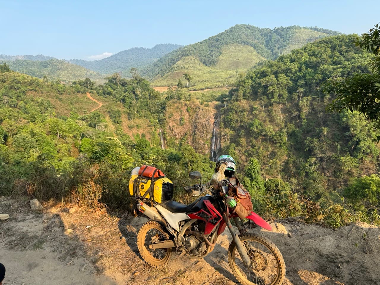
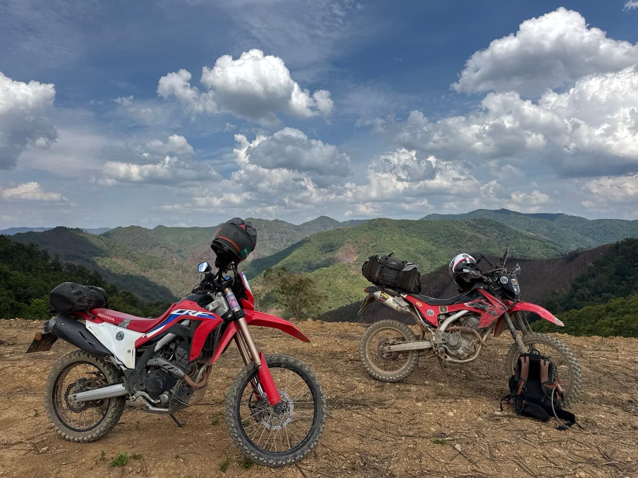
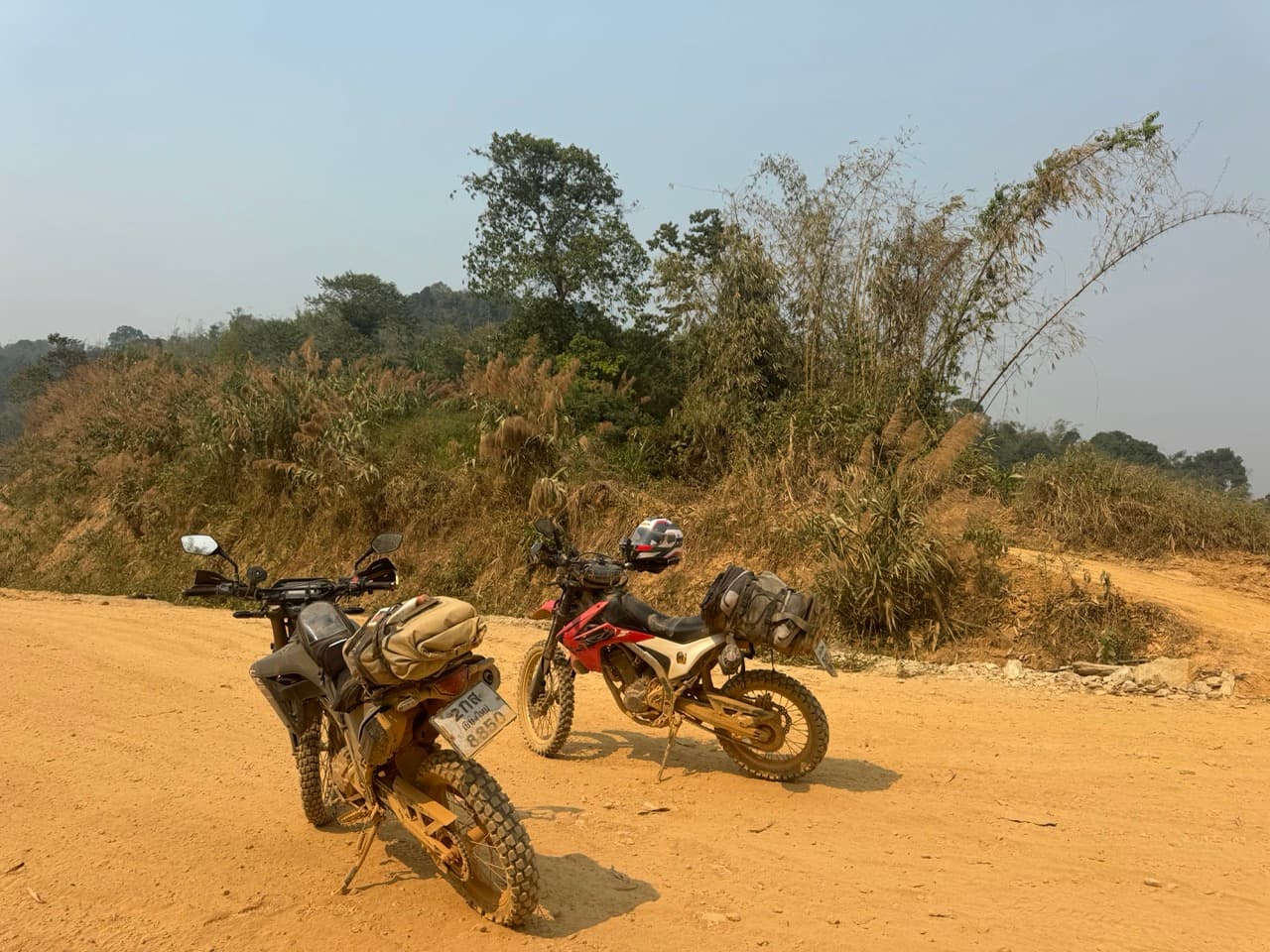
Two trees, both down, both lying at an angle across a steep and greasy descent. That was the end of it, about half an hour into a Sunday that was meant to be an easy one. Four of us, four bikes, a village link trail that clearly nobody had ridden in a long time, and the only way forward was to lift four motorcycles over wet timber pointing downhill on a side slope. We stood and looked at it for a bit. Then we turned around.
| Quick Facts | |
|---|---|
| Date | Sunday 23 August 2026 |
| Total distance | 53.6 km — 7.0 km out and back, then 46.6 km |
| Riding window | 10:28 to 15:26 |
| Riders | 4 — three Honda CRF300Ls and a CRF250L |
| Season | Green / rainy (August) |
| High point | 1,415 m, on the shoulder of Doi Mon Angket (1,826 m) |
| Surface | Disused forest singletrack, farm tracks, red-clay forest road, teak-plantation doubletrack |
| Notable | Deadfall across the link trail, lunch in Ban Kung, a sheared handlebar riser |
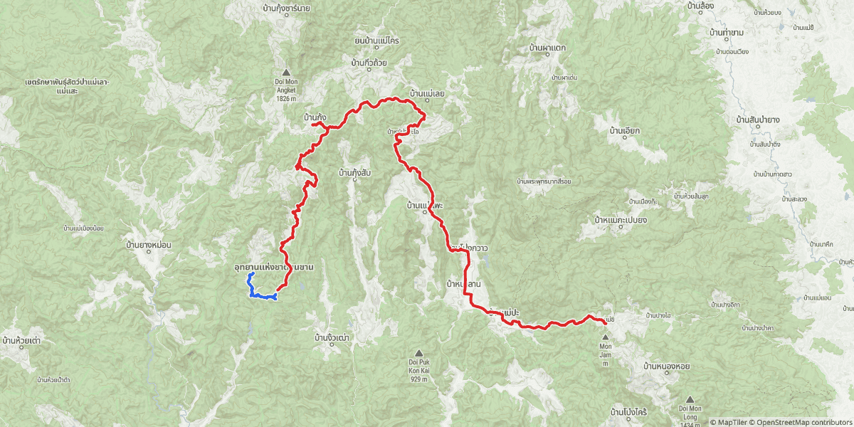
| Part | Route | Distance | Ended |
|---|---|---|---|
| Part 1 | The village link attempt — out and back in Khun Khan National Park | 7.0 km | Back where we started |
| Part 2 | Over the Doi Mon Angket shoulder → Ban Kung → Ban Mae Phae → Mae Rim | 46.6 km | Mae Rim |
Part 1 — The Village Link That Isn't (7.0 km)
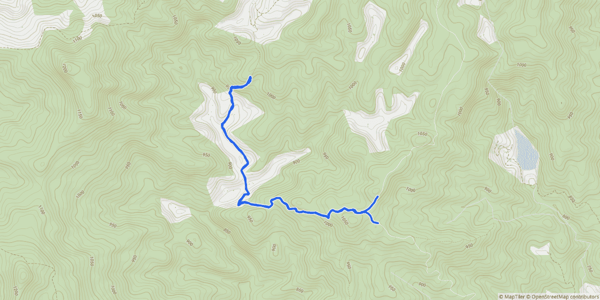
The idea was a link trail: a disused singletrack that climbs out of one farming community, over a hill, and drops into the next one on the far side. These things exist all over the hills west of Chiang Mai. Some of them are still walked and ridden by the people who live at either end. Some of them have quietly gone back to the forest and nobody has told the map.
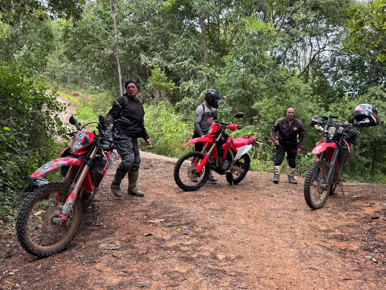
The first twenty-five minutes were the good kind. Proper overgrown singletrack, nose to tail, the forest close enough on both sides that you ride with your elbows in. In August everything is green and everything is growing, which looks fantastic in photographs and means you cannot see the ground you are about to put a wheel on.
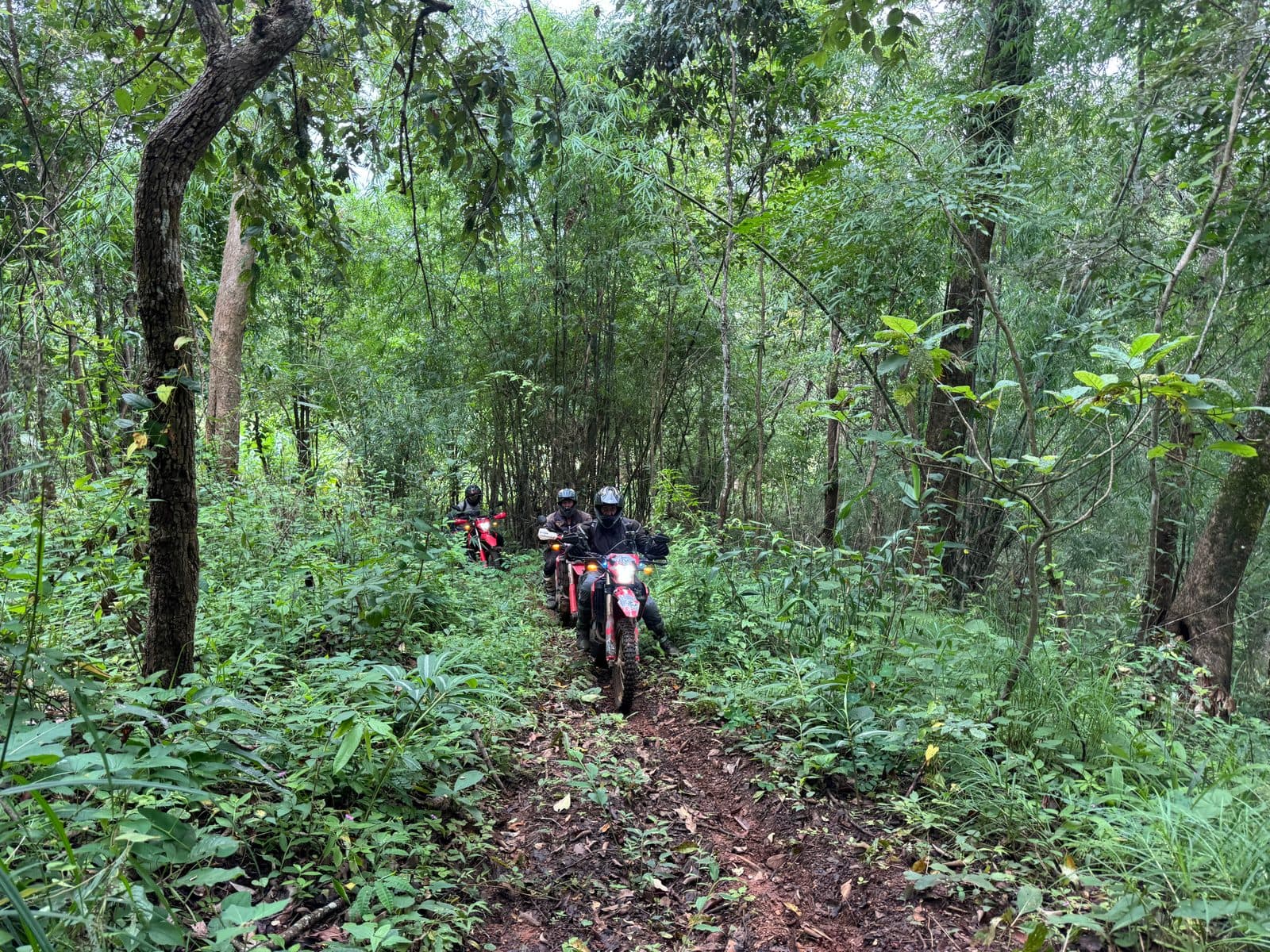
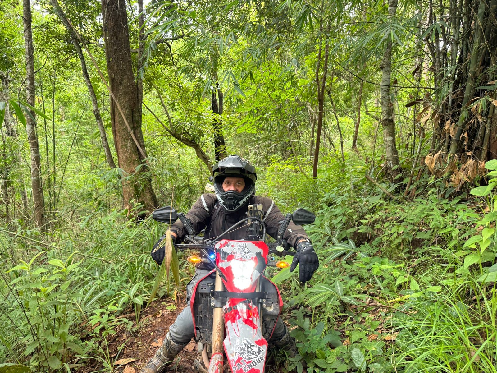
Then, at the high point of the trail where it tips over and starts down the far side, two trunks. Not branches — trunks, the larger one thick enough that you would not get a leg over it, both lying diagonally across the trail and pointing down the slope. Wet bark. Wet leaf litter under them. The trail here is cut into the hillside, so there is a bank on one side and a drop on the other, and no way round either end.
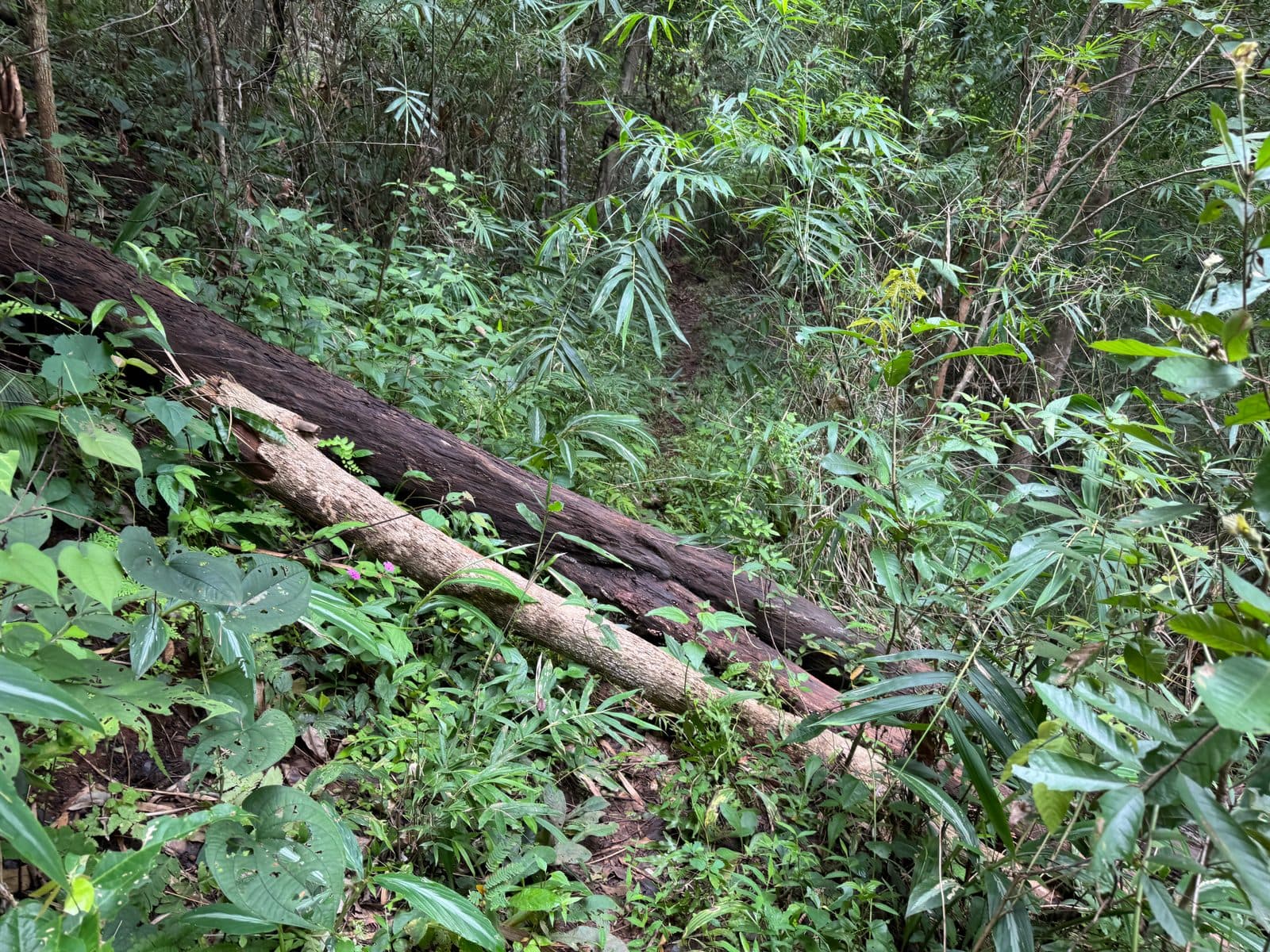
Why we did not just lift them over: the timber was wet, it was angled downhill, and the trail was cut into a side slope with a drop on the low side. Getting a 140 kg bike up onto a slick trunk on a gradient means someone is taking the weight from below. If it slides — and wet bark slides — the bike goes down the hill and whoever is under it goes with it. Four bikes, four times the chance. There was no upside: even if we got them all over, we would have been committed to a descent we had not seen, with the same trees behind us if it did not go.
So the decision was easy and the execution was not. It took thirty-nine minutes to get four bikes turned around. The trail at that point is roughly as wide as a set of handlebars, on a slope, with a bank on one side. You cannot do a three-point turn. You lift the front, walk it round, lift the back, walk that round, and repeat until the bike is pointing the other way — and you do that with two or three people per bike because one person cannot.
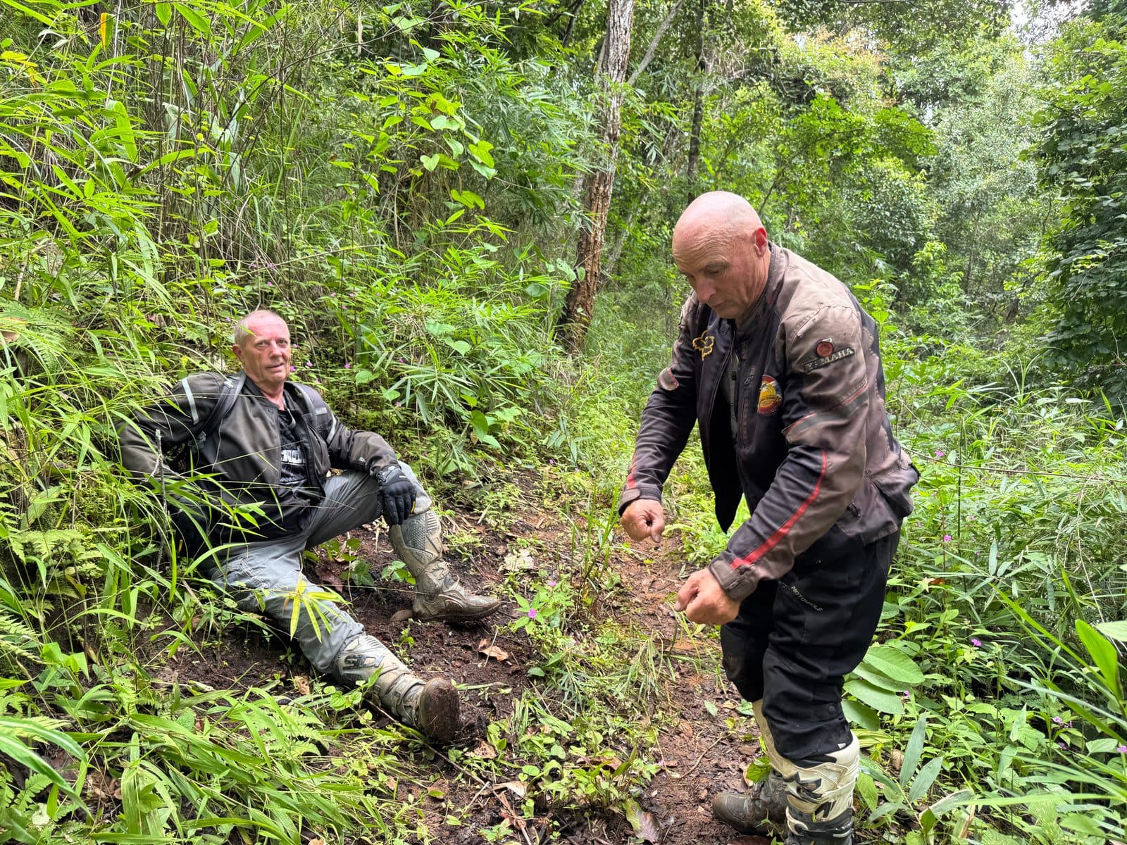
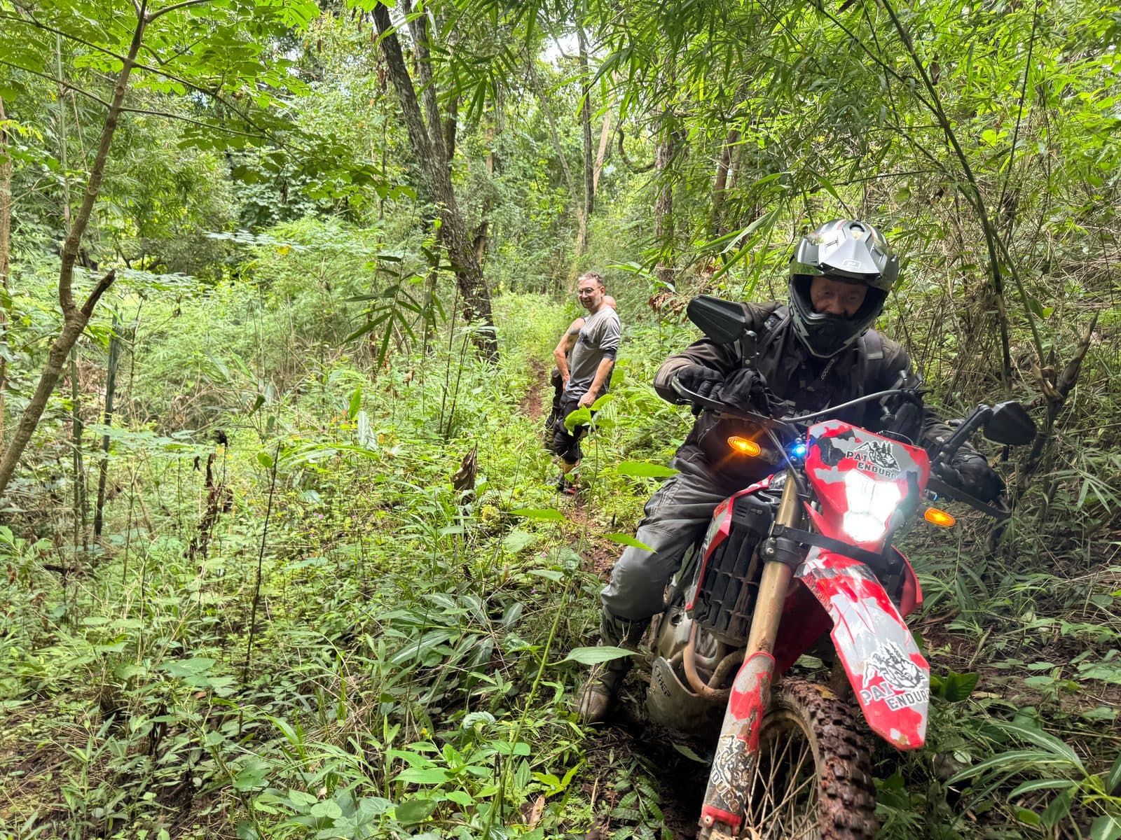
The ride back out was the same trail in reverse, which sounds easy and is not. What you came down, you now go up, and the main line is a single erosion rut cut deeper than the wheels are tall. Get in it and stay in it, because there is nowhere else to be.
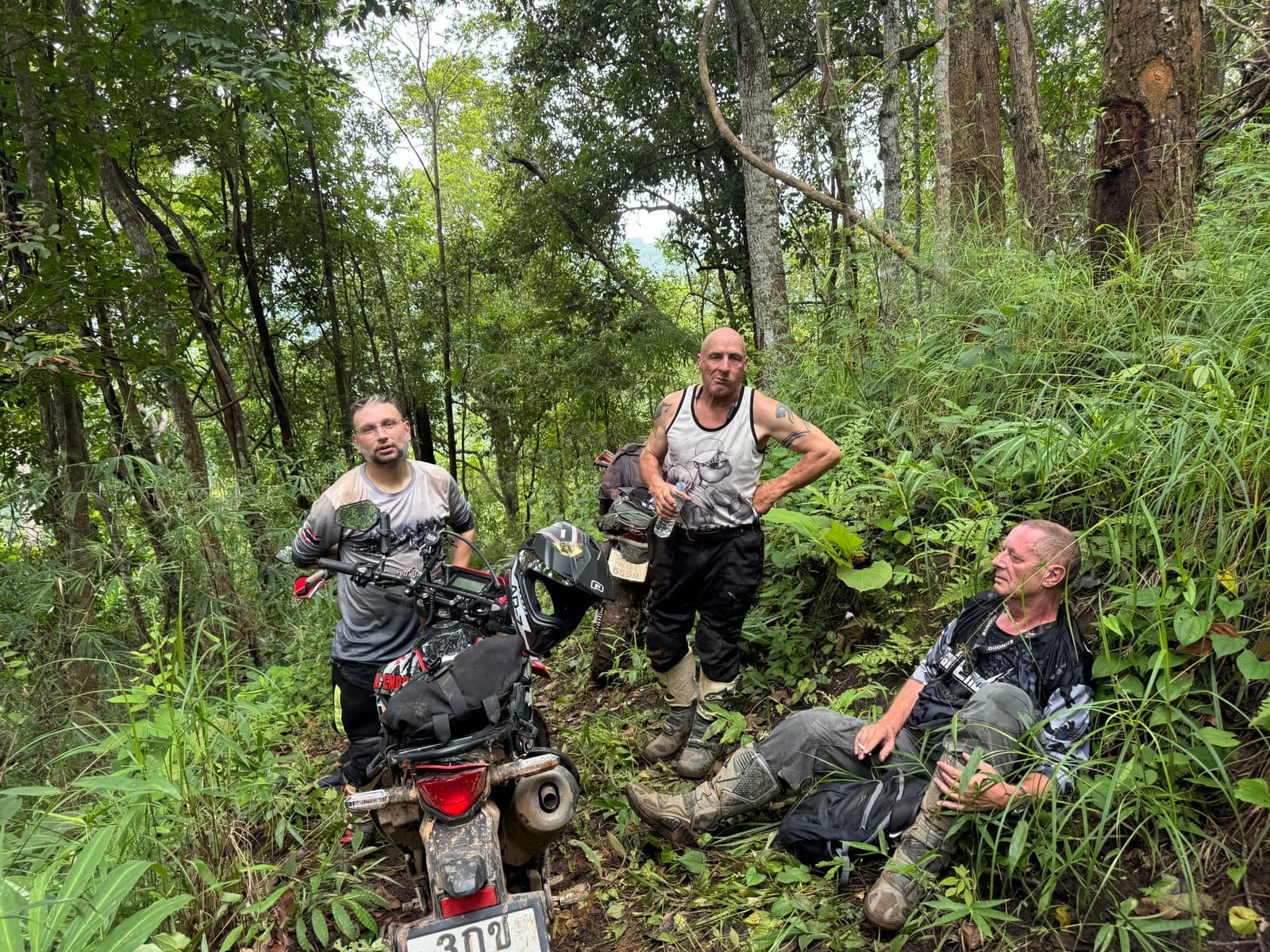
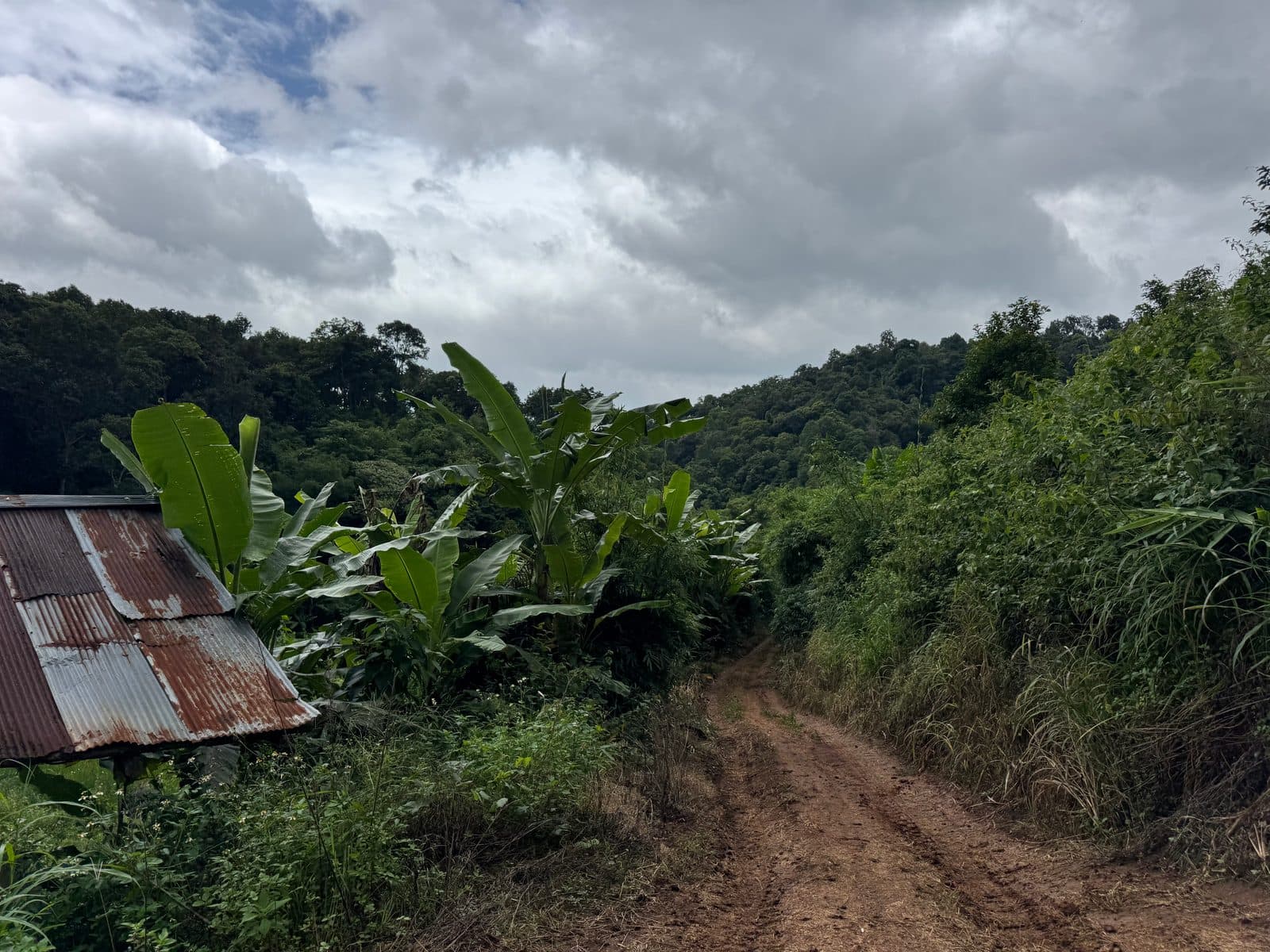
Seven kilometres, an hour and a half, and 614 metres of climbing, most of it done twice. Back at the bottom by two minutes to noon, exactly where we had started, with the whole afternoon still to go.
Part 2 — Over Doi Mon Angket to Mae Rim (46.6 km)
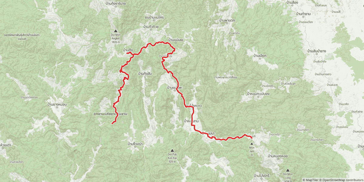
Nobody wanted to go home at midday, so we did the obvious thing and went the other way — north out of the valley on farm roads and forest track, climbing steadily through the Samoeng Wildlife Sanctuary. This is the good stuff: wide graded clay, tall forest, nobody on it. The track tops out at 1,415 metres on the shoulder of Doi Mon Angket, which itself goes on up to 1,826 m.
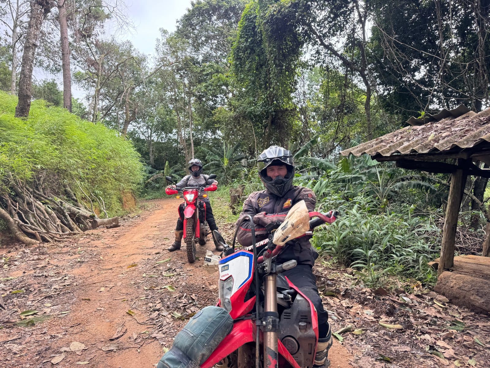
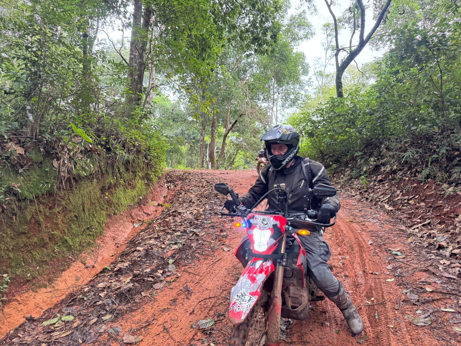
Over the top and down the other side is Ban Kung, sitting at the base of the mountain, and in Ban Kung is the noodle shop. We have been eating there for five years. It is the same tiled tables, the same bowl: rice noodles, sliced pork, pork balls, greens, broth. Forty-four minutes off the bikes, which in hindsight was forty-four minutes of dry weather we could have been using.
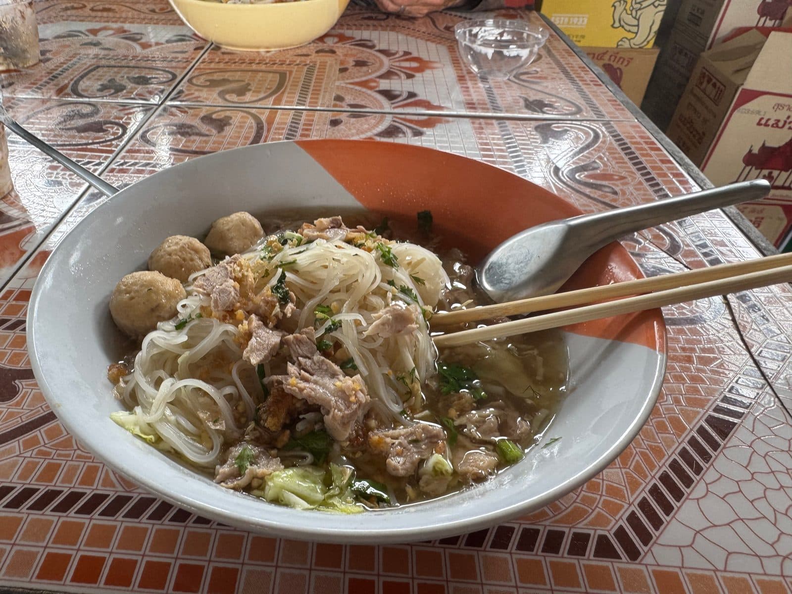
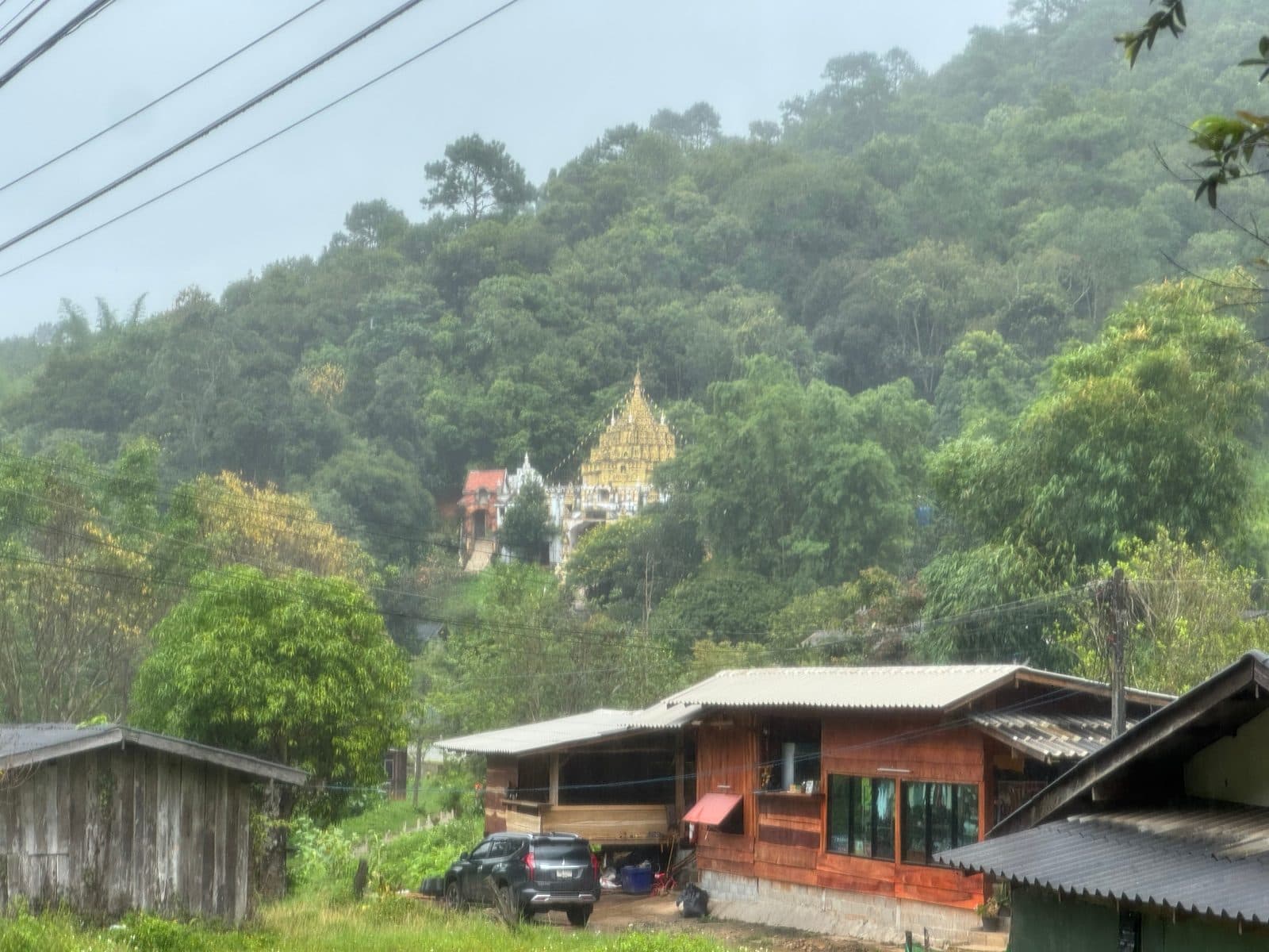
We came out of lunch at twenty past one into completely different weather. The cloud had come down onto the ridge and it was raining properly — not a shower, the sort that has settled in for the afternoon. Ten minutes later we were dropping through a village in it, past a gold-roofed wat on the hillside, everything grey and dripping.
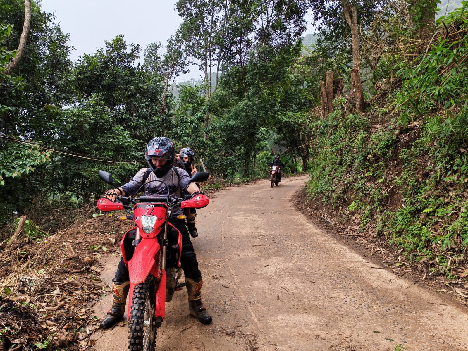
This is the part of the day the region is actually famous for. Northern Thai red clay is a good surface when it is dry and a genuinely strange one when it is wet — not muddy so much as greased, with a film on top that the tyres never get through. The bike goes where it is pointed until it very calmly does not. Almost everyone went down at least once. We stopped counting, and nobody was hurt, but you spend that hour riding at about a third of the speed the road would otherwise allow.
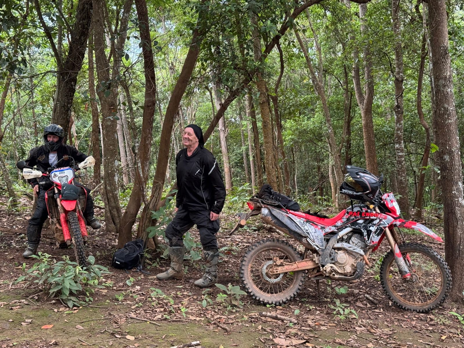
The one that mattered happened at about twenty past two, near Ban Mae Phae. The most experienced rider in the group — the one who falls off least — came out of one of those slips with his handlebars no longer attached to the bike in any meaningful way. The riser clamps had let go. The bar was sitting loose on the triple clamp, which means no steering, no reliable front brake, and no way to ride out of a teak plantation twenty kilometres from tarmac in the rain.
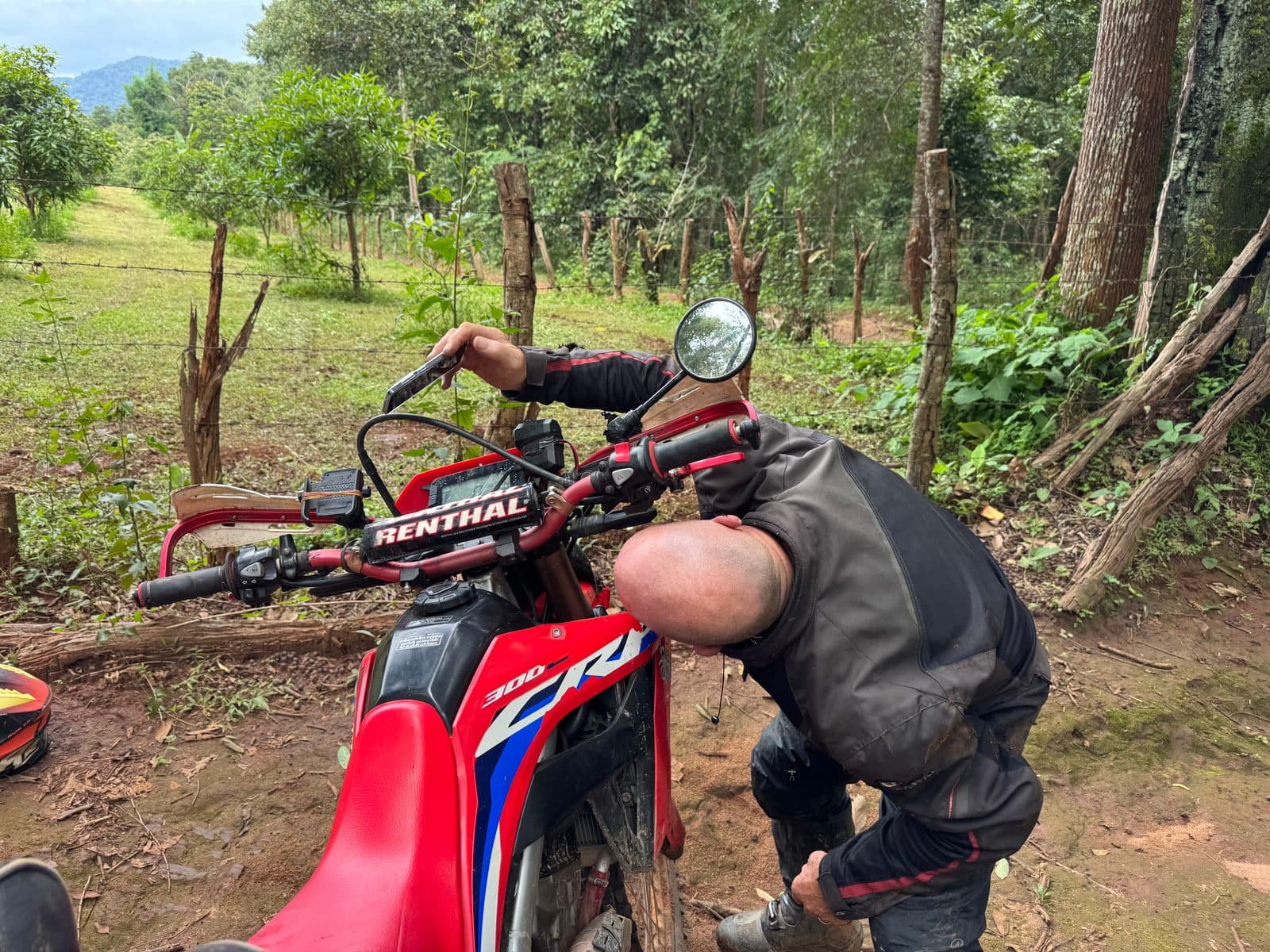
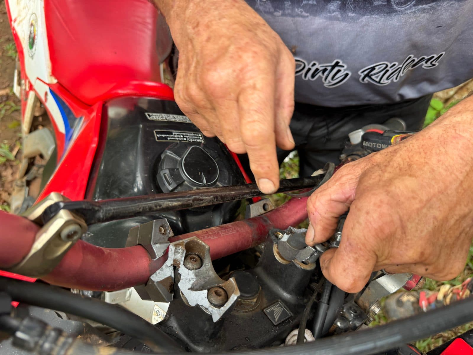
It took twenty-four minutes at the side of the track with a multitool to get the bar clamped down well enough to ride. That is the whole margin: a rideable bike, or four people and one recovery problem in the rain with the light going. It went the right way, and he rode it out.
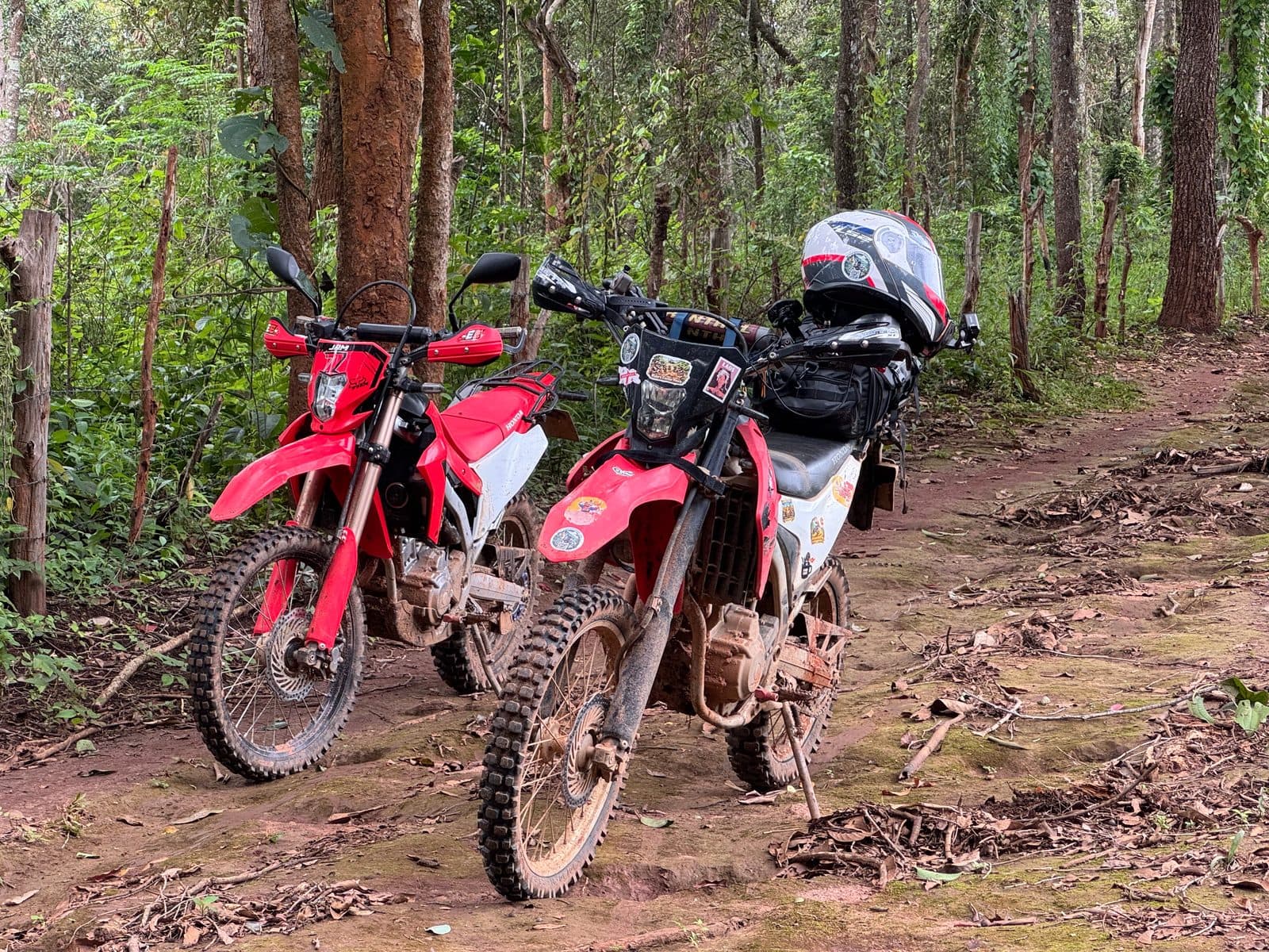
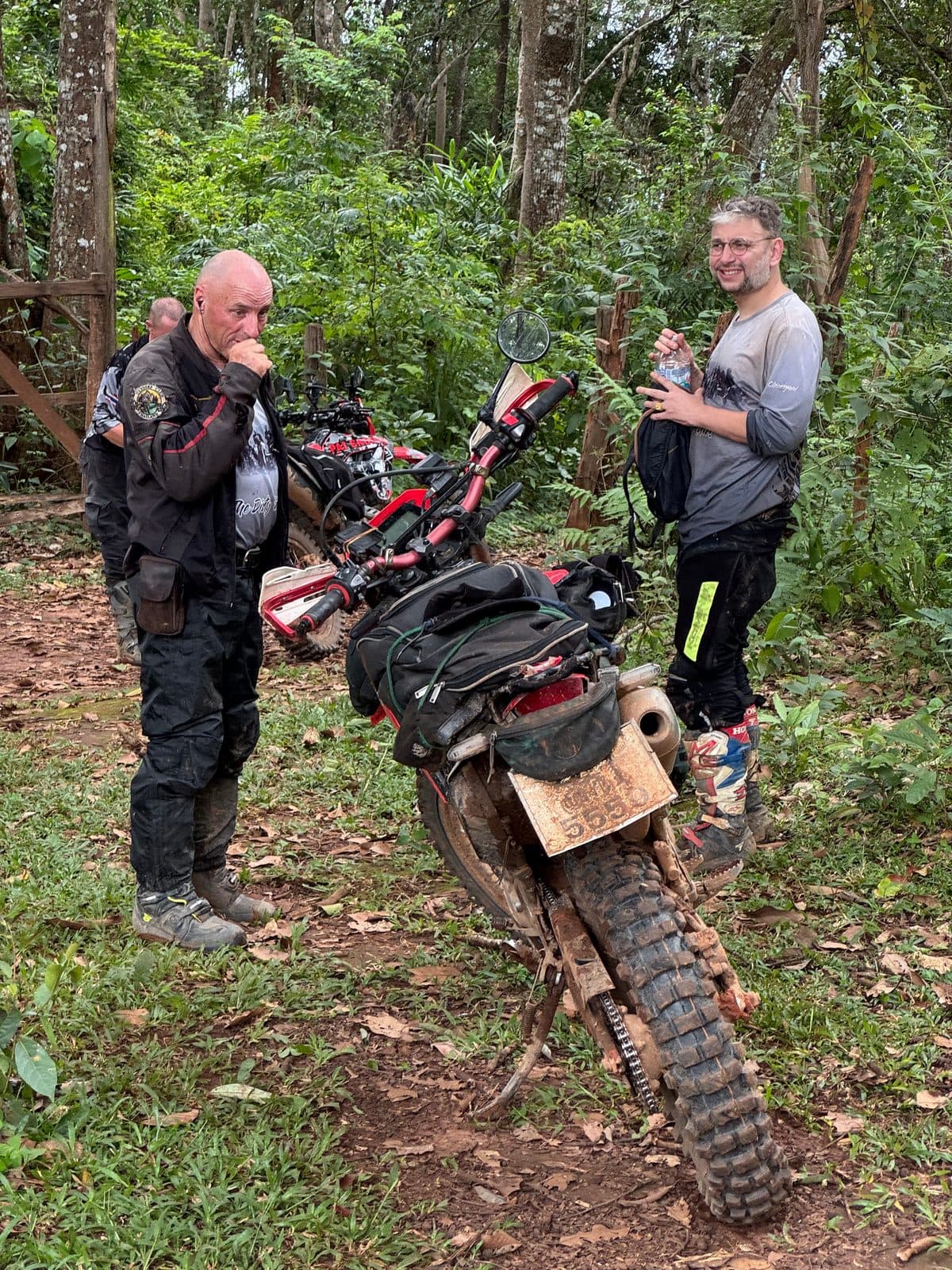
From there it was another forty minutes of careful riding down through Ban Mae Phae and out to Mae Rim, on the tail end of 2,221 metres of climbing for the afternoon. Bikes down at 15:26. Forty-six and a half kilometres in three and a half hours, which tells you most of what you need to know about the surface.
If You're Thinking About Doing This
- ·Bike and tyres: a 250 or 300 enduro is right for this. Knobbies are not optional in the green season — on wet red clay a worn tyre is a passenger.
- ·Carry the tools to fix your own cockpit. Bar clamps, riser bolts and levers are what actually strands people, not engines. A multitool got us out; a spare set of clamp bolts would have got us out faster.
- ·Have a turn-around plan before you commit to a disused link trail. In the rains, deadfall is normal and nobody clears it. Know how much daylight and fuel you can spend on finding out.
- ·Do not lift bikes over wet, downhill-angled timber on a side slope. If it slides, it takes someone with it. Turning four bikes round took us thirty-nine minutes and cost nothing.
- ·Food and fuel: Ban Kung has noodles and sits at the base of the mountain, which makes it the natural halfway stop on this loop. Fill up before you leave the valley.
- ·Season: August is green season. Expect the trails overgrown, expect rain from early afternoon, and expect the clay to be slick rather than muddy. If you want this route fast and dry, come in the cool season instead.
- ·Skill level: you need to be comfortable losing traction and not panicking. The clay will move under you repeatedly. Nothing here is technically extreme — it is just relentlessly slippery.
Fifty-four kilometres, one blocked trail, one bowl of noodles, an uncounted number of falls and one set of handlebar risers. Not the Sunday we planned, and a better story than the one we would have got.
FAQ
- Can you ride the Samoeng to Mae Rim dirt trails in the rainy season?
- Yes, but slowly. We rode this loop in late August and it went fine — 46.6 km took three and a half hours, against maybe two in the dry. The forest roads themselves stay rideable through the rains; the issue is red clay grip, not standing water or washouts. Overgrown singletrack is the bigger problem in green season, because deadfall goes uncleared and vegetation hides the trail surface.
- What is red clay actually like to ride when it is wet?
- Greased rather than muddy. A thin slick film forms on top of a firm base, so the bike keeps rolling normally right up until the tyres let go, usually with no warning and often on a section that looks harmless. Ride smooth, stay off the front brake, engine-brake down the descents, and accept a much lower speed. Almost every rider in our group of four went down at least once on this loop, all at low speed, nobody hurt.
- How high is Doi Mon Angket and do you go over the top?
- Doi Mon Angket is 1,826 m. This route does not summit it — the track crosses its shoulder at 1,415 m and then drops to Ban Kung at the base, around 1,210 m. Total climbing for the afternoon section was 2,221 m.
- What do you do if a trail is blocked by fallen trees?
- Assess whether you can get past without putting a bike or a person at risk, and turn around if you cannot. Wet trunks lying at a downhill angle across a side-slope trail are a genuinely bad place to be manhandling a 140 kg motorcycle. Budget the time: turning four bikes around on singletrack took us thirty-nine minutes, and that is time you need to have left in the day.
- What should you carry on a day ride like this?
- Tools for the cockpit and the wheels — bar clamp and riser bolts, levers, a tyre repair kit and a multitool that actually fits your fasteners. A broken riser clamp came closer to stranding our group than anything else all day. Beyond that: water, a basic first aid kit, and enough fuel to get out the way you came in, because the closest fuel to this loop is down in the valley.
Ride this day — GPX tracks
2 files · 359 KB
Both tracks exactly as recorded, including the part that did not work. Part 1 is the blocked link trail; ride it if you want to see whether the trees have been cleared.
Want either part as a standalone route? Both are on the routes page with the GPX and the detail.