The plan for day one was Chiang Mai to Thaton with a border road in the middle of it. We got the Chiang Mai part right and the Thaton part right. Everything in between got rearranged by two people telling us no — and then one of them telling us where to go instead, which is the only reason this is a report worth reading.
| Quick Facts | |
|---|---|
| Days | 2 |
| Distance recorded | 472.8 km — 209.4 km on day one, 263.4 km on day two |
| Not in the tracks | The ~70 km each way between Chiang Mai and Chiang Dao |
| Riders | 2 — a Honda CRF250L and a Honda CRF300L |
| Season | Late wet season (September) |
| Surface | Tarmac to the trailheads, then red clay, gravel and singletrack |
| High point | 1,800 m on day one, 1,564 m on day two |
| Sleep | Mae Kok River Village Resort, Thaton |
| Skill level | Intermediate — the descent to Baan Therd Thai is the crux |
| Day | Route | Distance | Sleep |
|---|---|---|---|
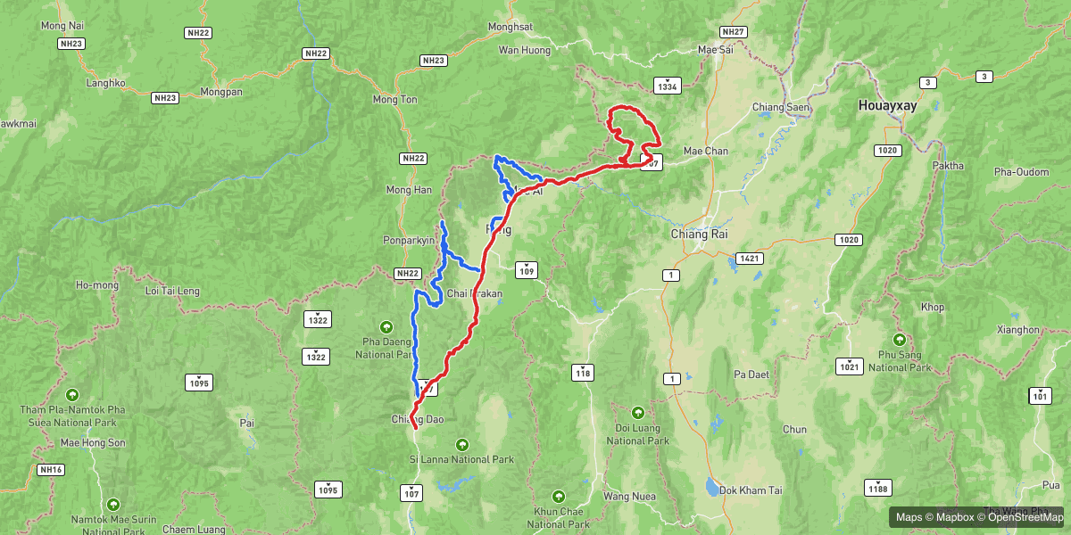
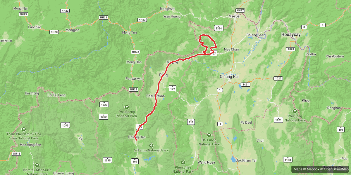
| 1 | Chiang Dao → Arunothai → Doi Ang Khang → Fang → Tha Ton | 209.4 km | Tha Ton |
| 2 | Tha Ton → Doi Mae Salong → Baan Therd Thai → Chiang Dao | 263.4 km | Home |
Day 1 — Chiang Dao to Thaton, the long way round
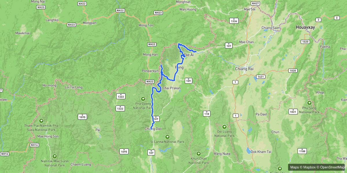
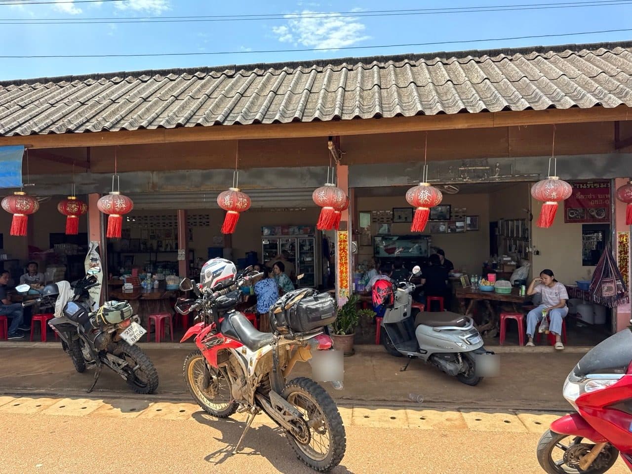
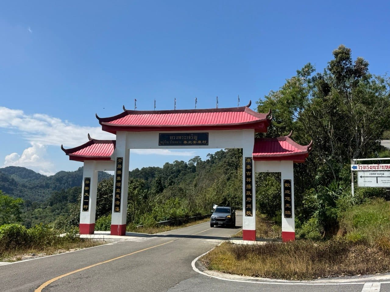
The tracks start at Chiang Dao. The seventy-odd kilometres up from Chiang Mai is road, we ride it often, and neither of us thought to hit record until we were already north of town. North of Chiang Dao the road climbs steadily to Arunothai, a Yunnan village close enough to the border that the shopfronts are hung with red lanterns and a good deal of the signage is Chinese.
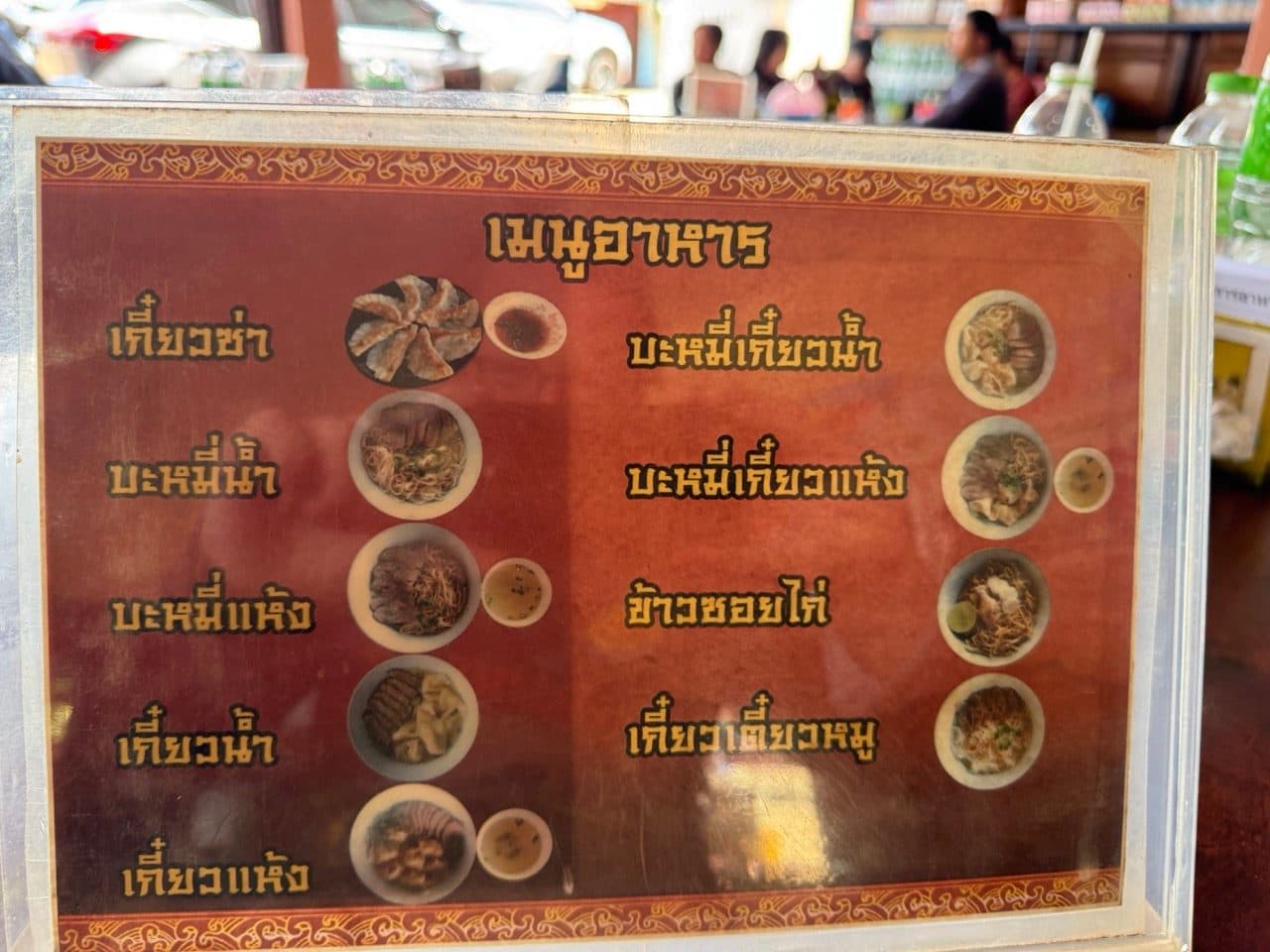
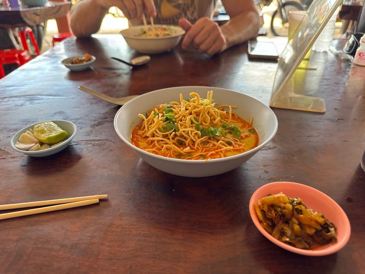
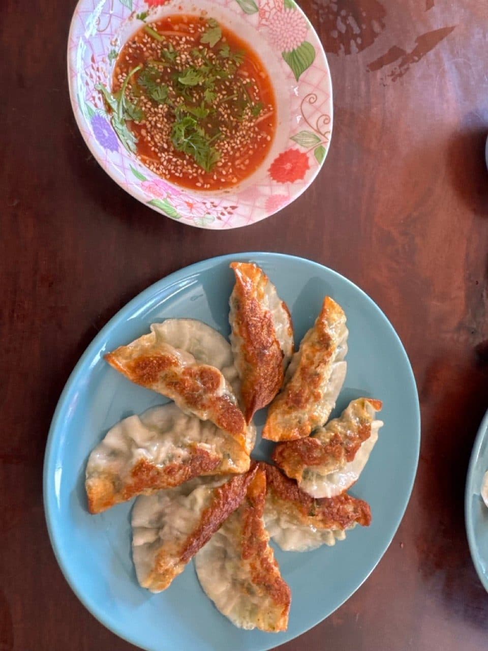
Lunch was khao soi and fried dumplings at a noodle shop on the main street. Both were excellent, and the dumplings in particular were worth the detour on their own.
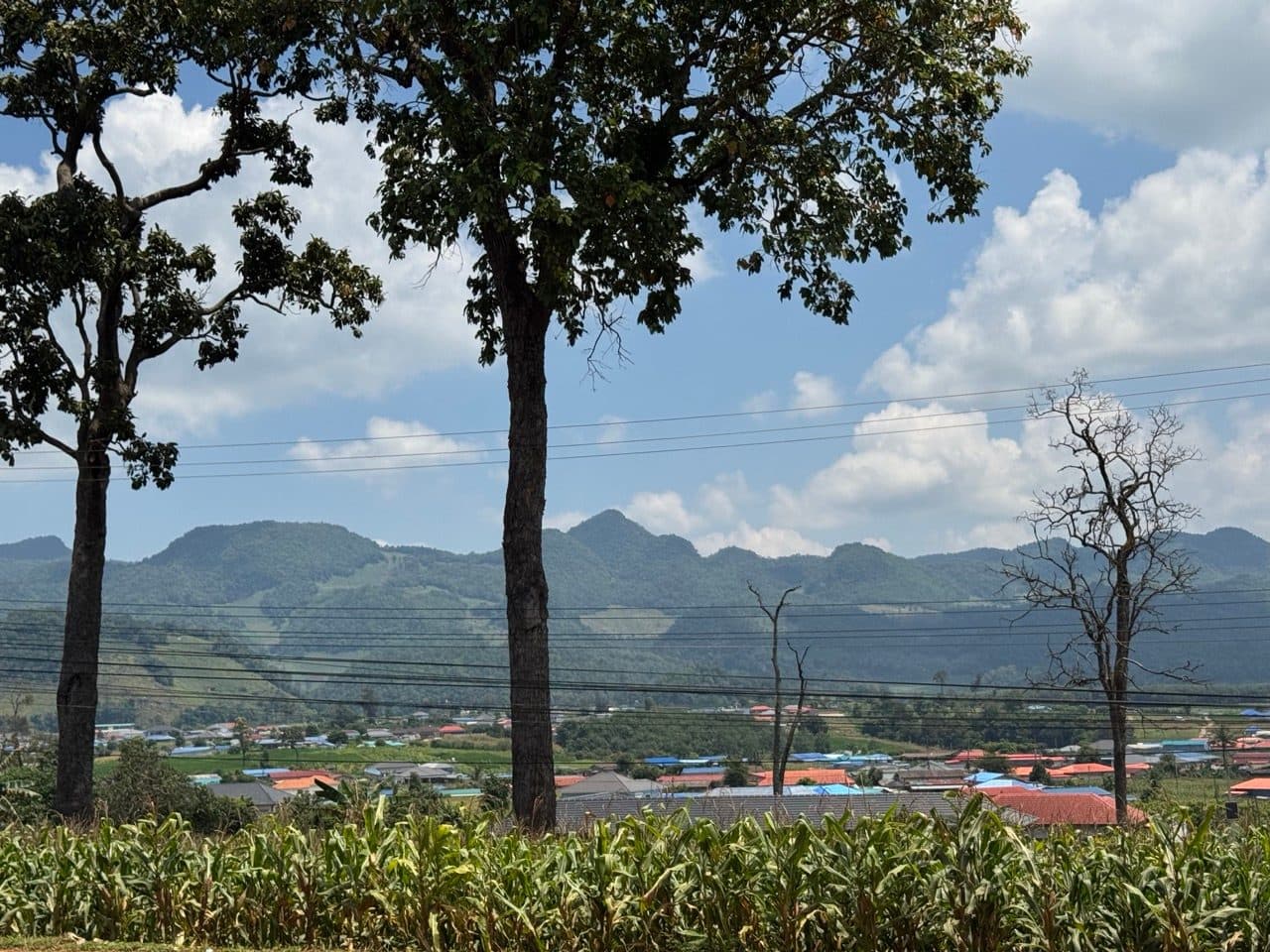
From Arunothai we went up to Doi Ang Khang, hoping to pick up the border road along the top. We were turned back. That is the entire story — we rode up, we were told no, we rode back down.
So we dropped off the mountain into Fang and went up again, this time toward Doi Pha Hom Pok National Park. A ranger stopped us on the way in. The road was too slippery, she said, and the park was shut until the fifteenth of October regardless. Two for two, and it was already mid-afternoon.
Then she looked at the bikes properly, and said that since we were on dirt bikes we could take the next road over instead. We went and found it. It is the reason the day turned out the way it did, and if she ever reads this: thank you.
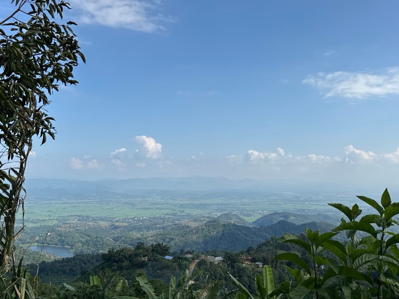
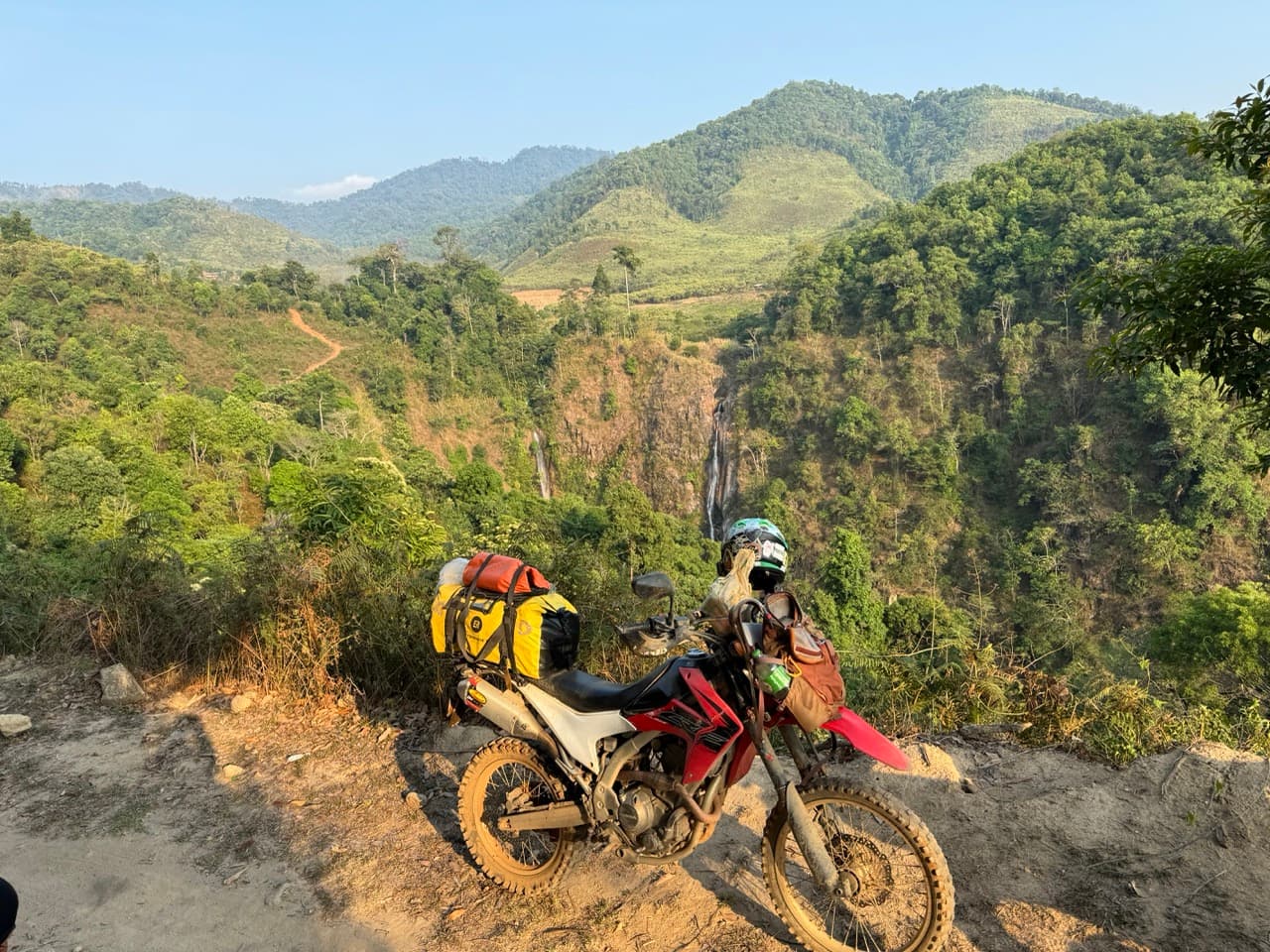
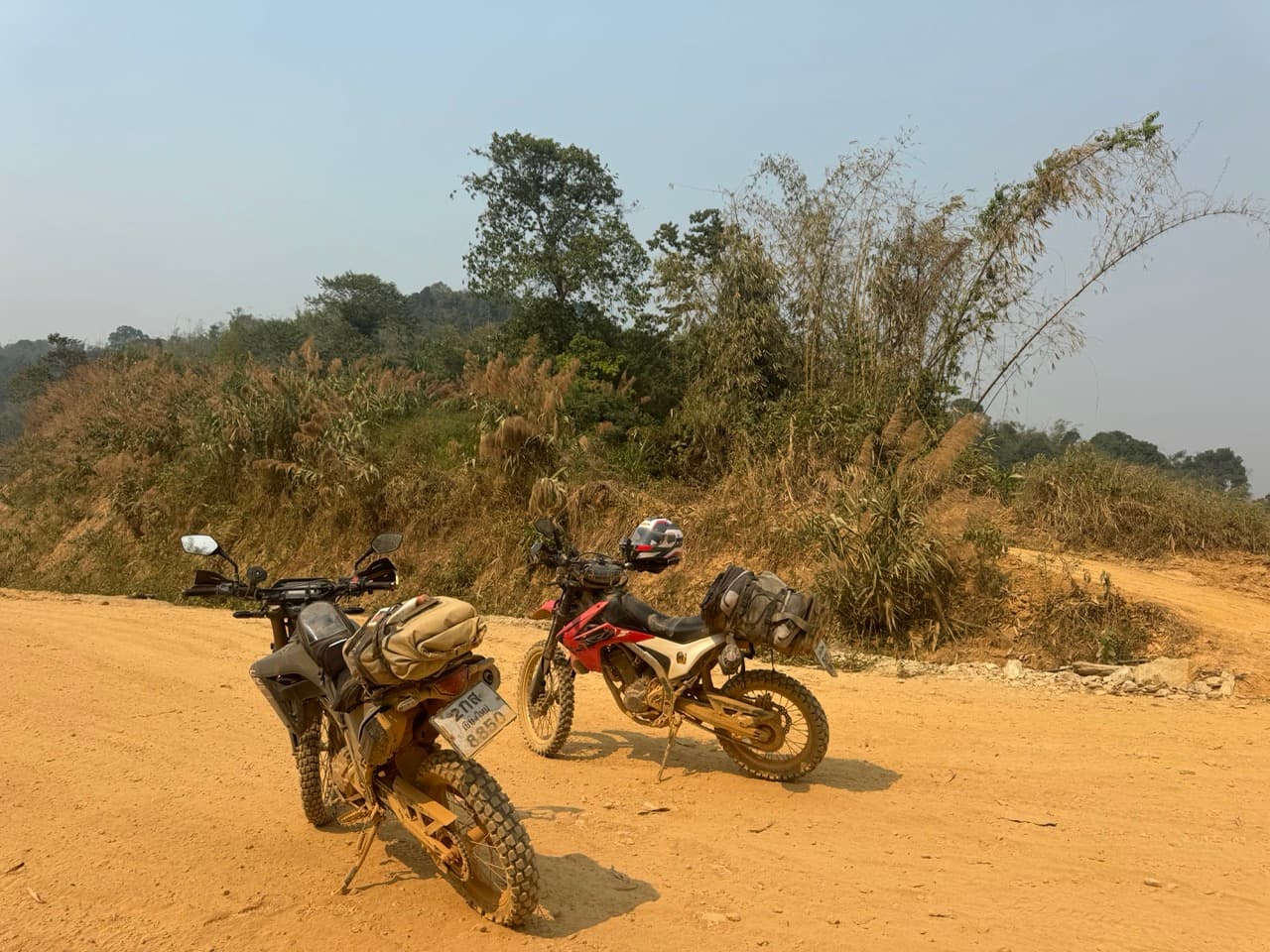
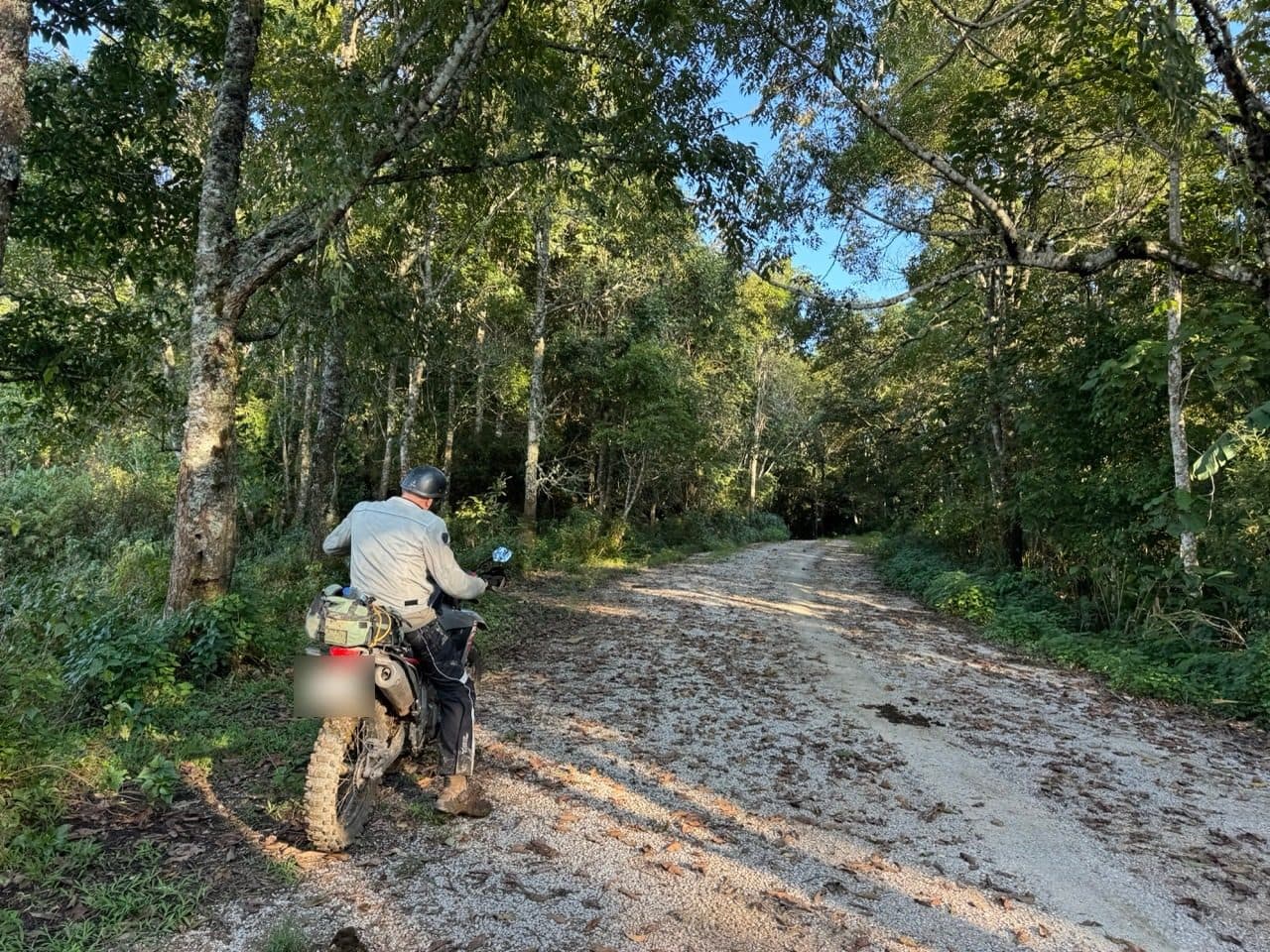
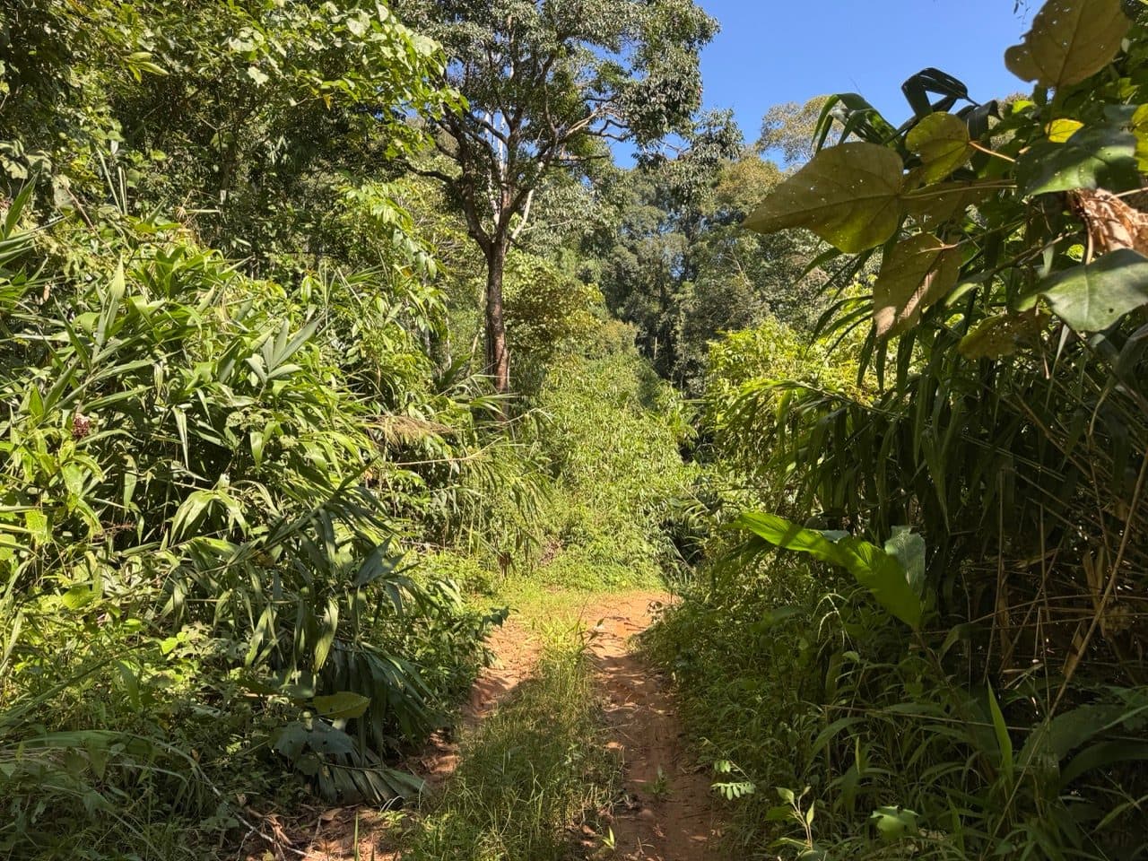
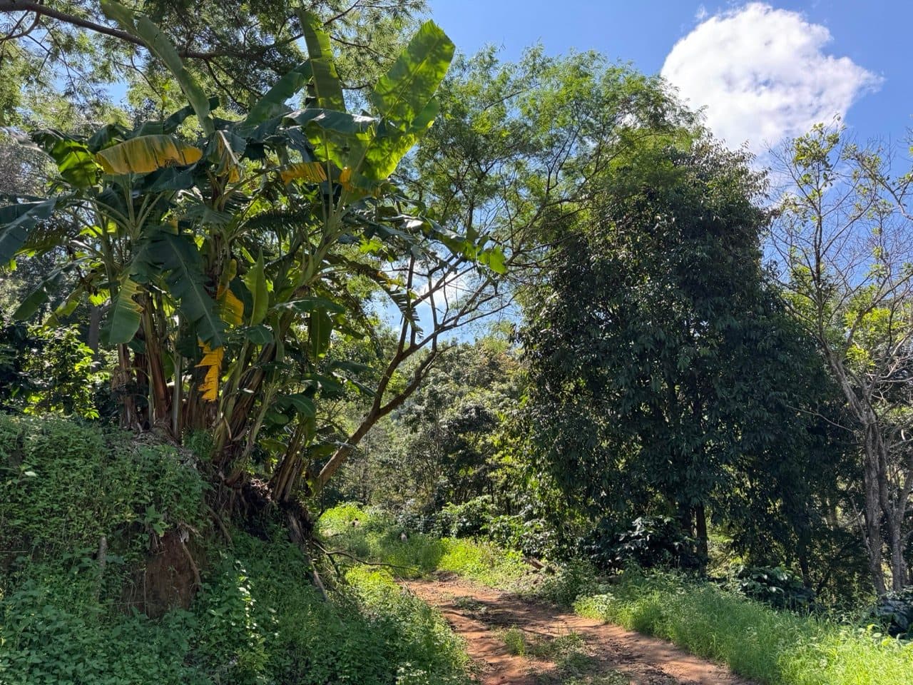
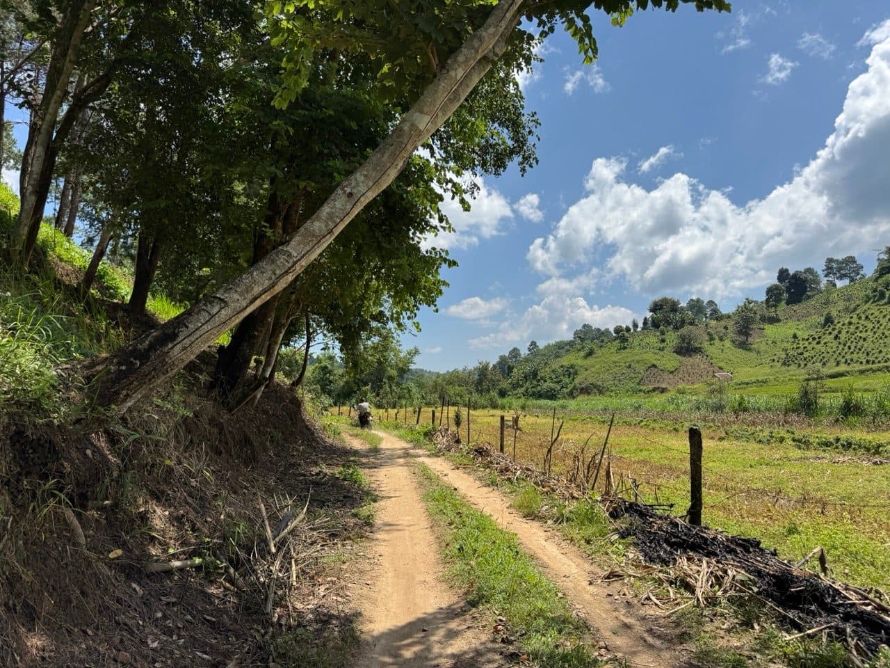
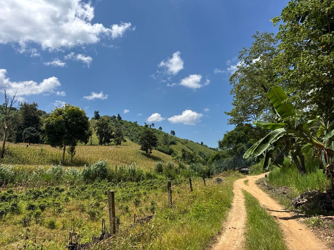
The next road over is red clay singletrack, strung between hill tribe villages and climbing the whole time. It is also where you need to understand the surface, because every photograph from that afternoon looks bone dry and it absolutely was not. September leaves a skin of dust on top and greasy clay a centimetre underneath. It grips until it doesn't, and it stops gripping without much warning.
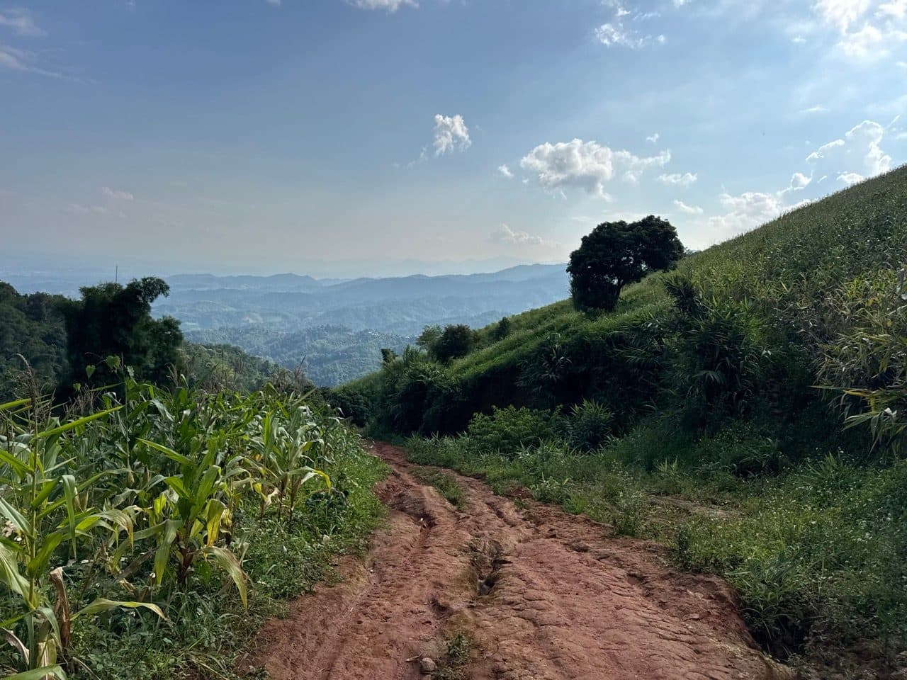
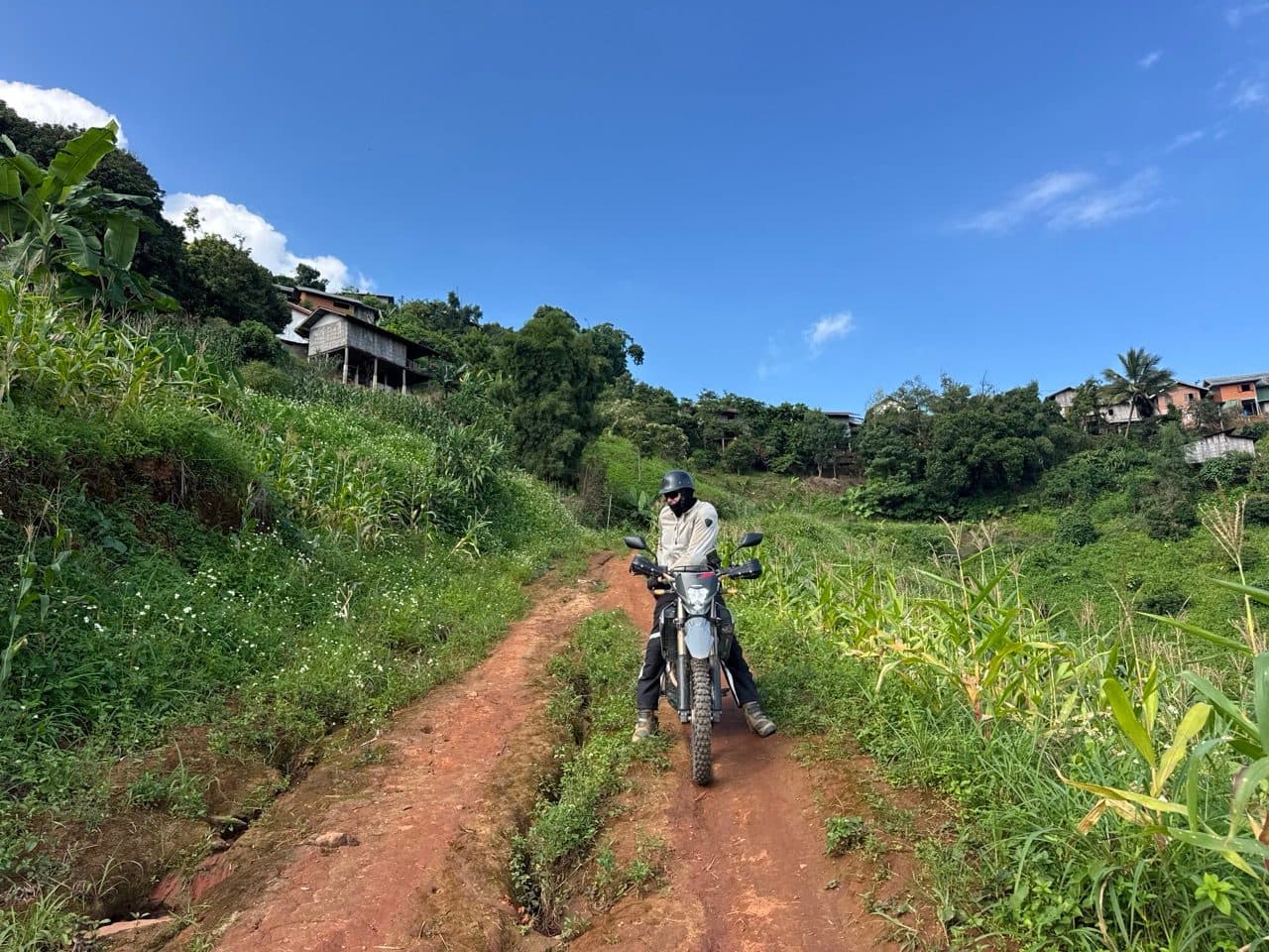
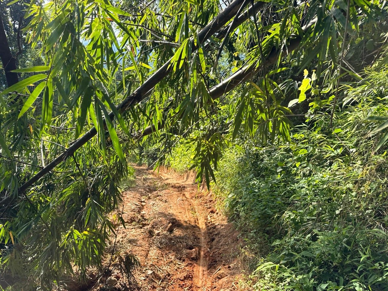
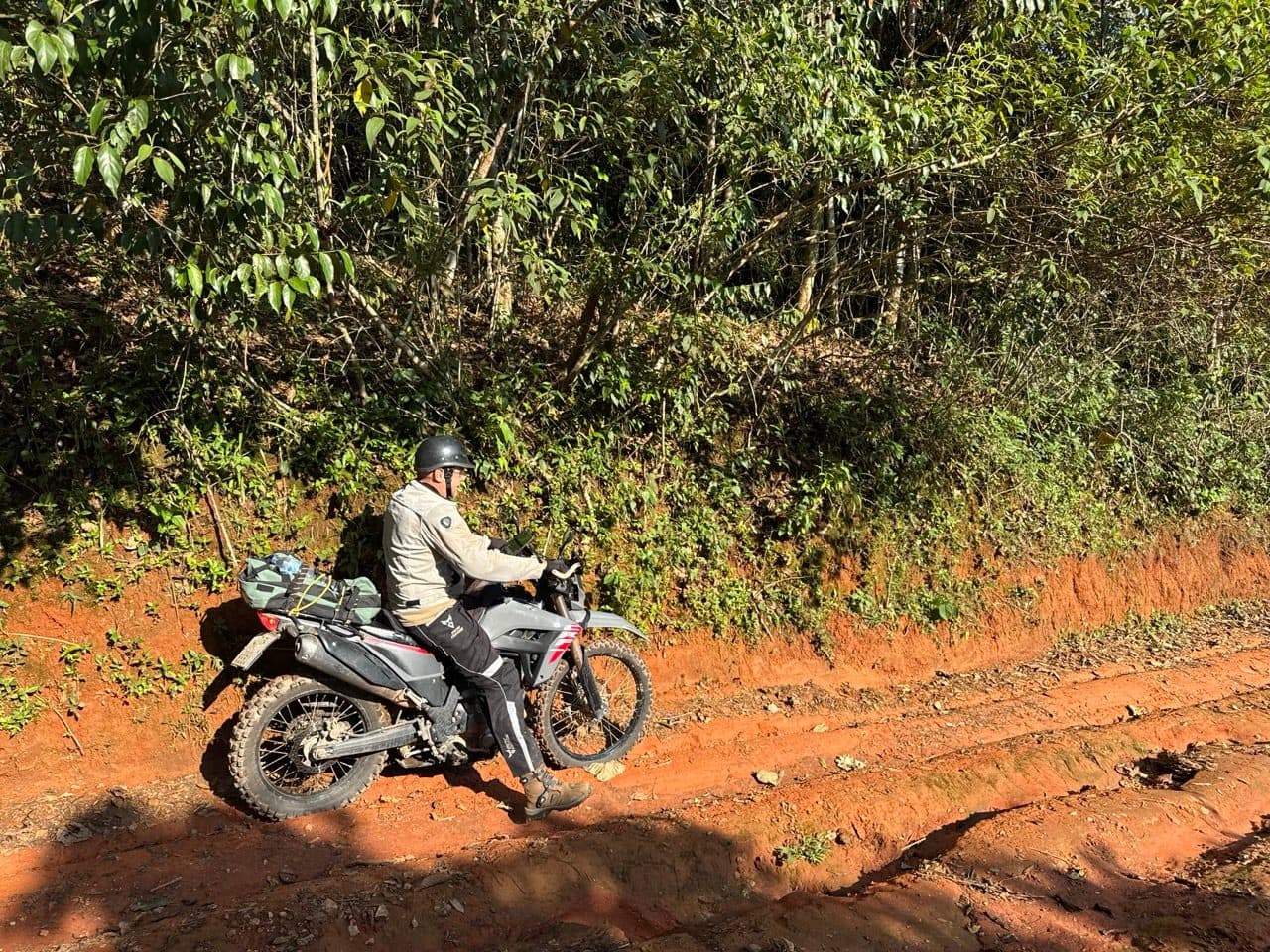
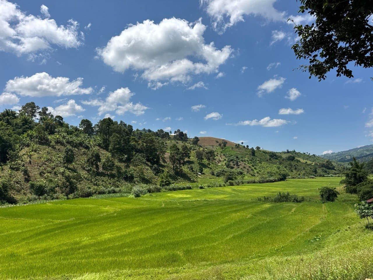
It drops through a valley of rice paddies partway along, which is the prettiest part of day one and the only flat ground for a while.
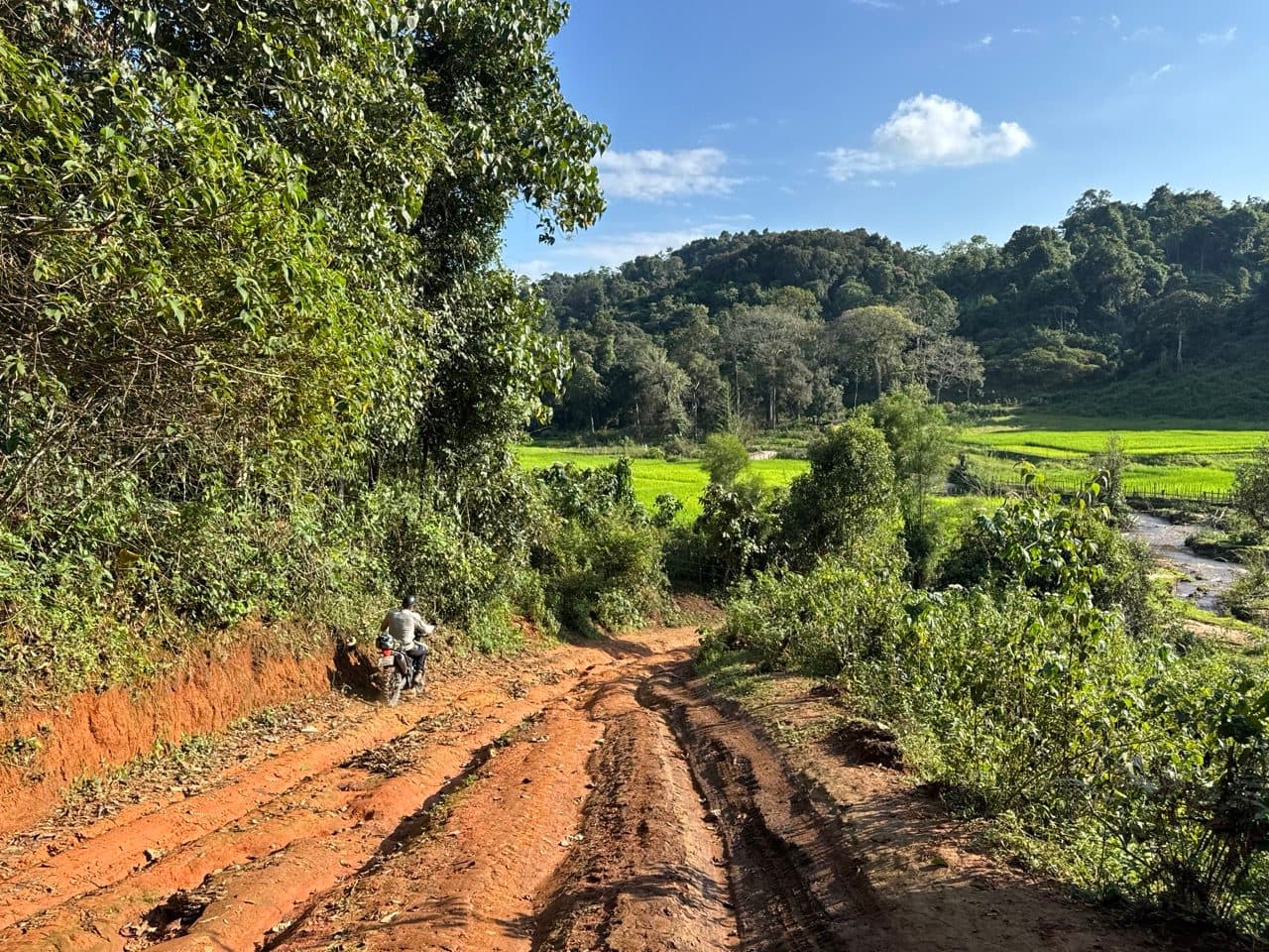
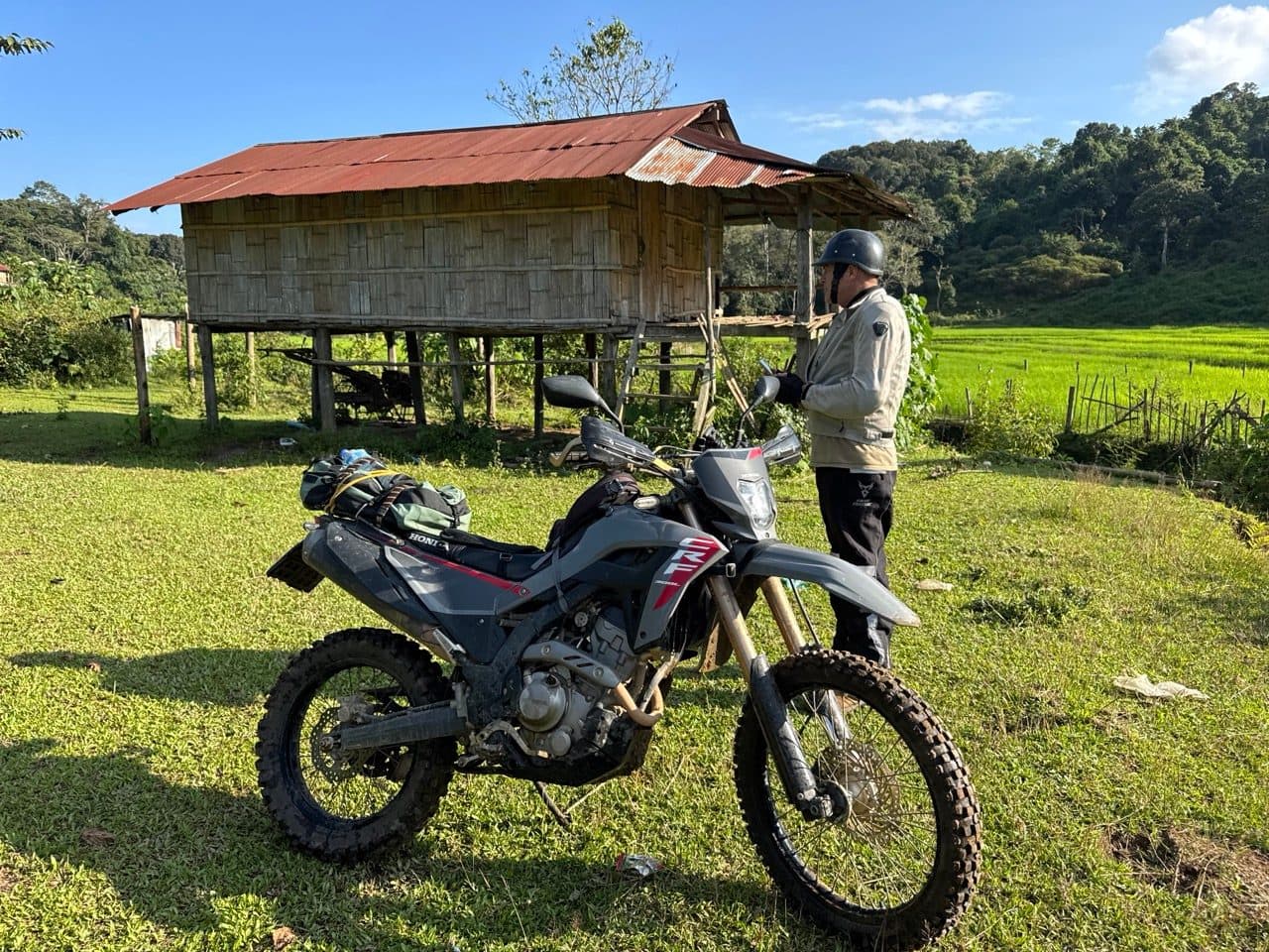
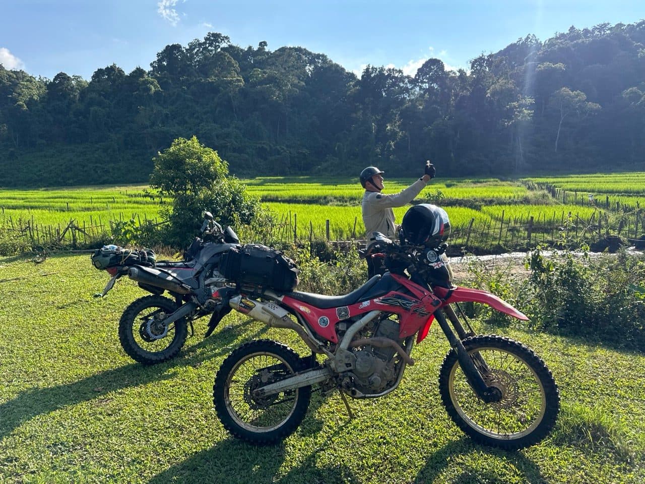
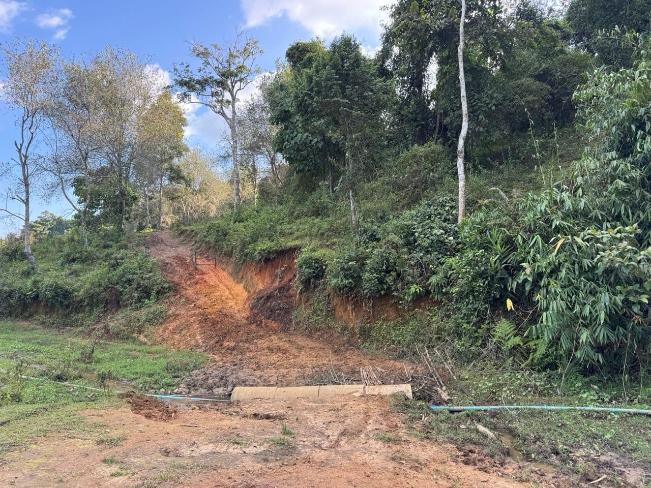
Eventually the clay spat us out onto the dirt road we had been trying to reach all day — the old border road, running the ridge with Myanmar off to the left. It is wide, it is shaded, and in the two hours we were on it we did not meet another vehicle. We followed it as far as Doi Mak Lang, which at 1,613 m is the high point of the border section, and where the road turns downhill for good.
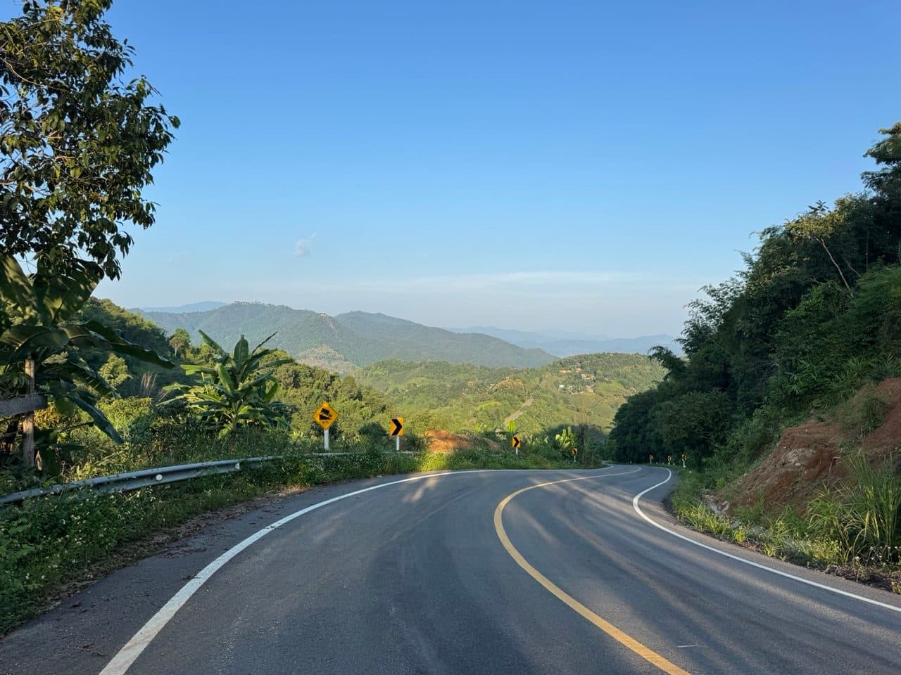
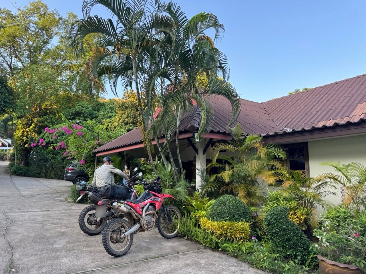
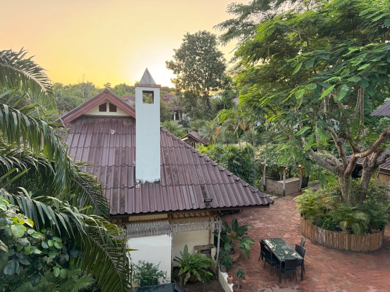
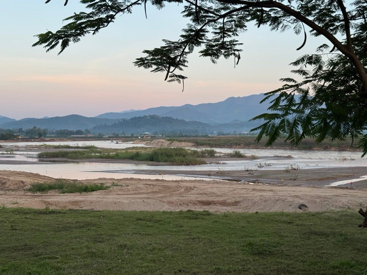
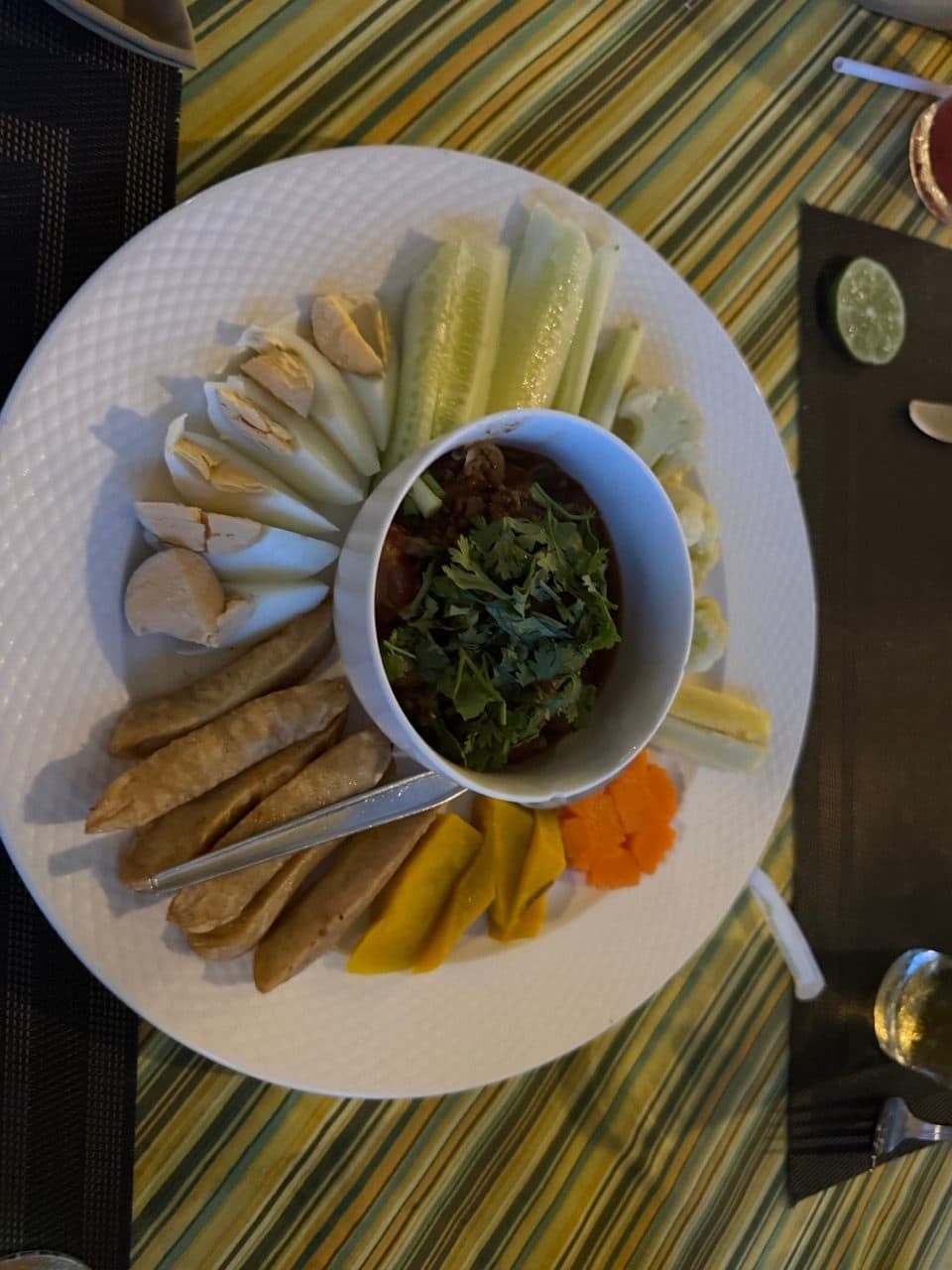
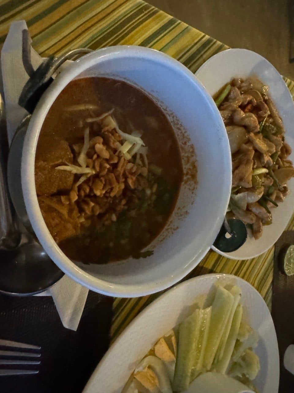
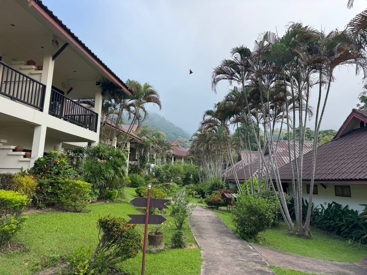
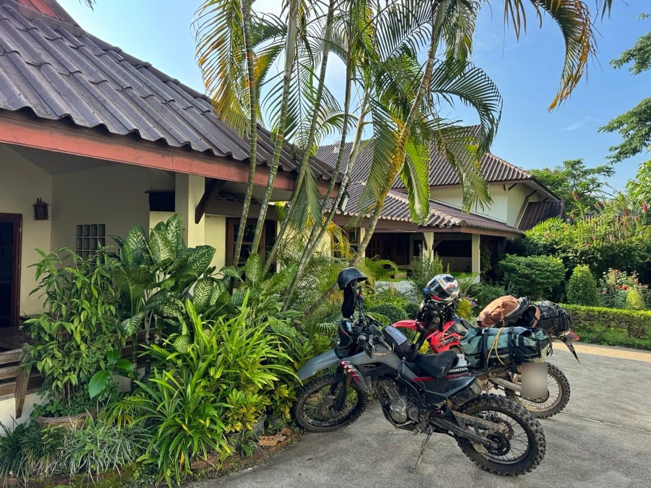
From Doi Mak Lang it is down, and then tarmac, and then Tha Ton. We got in around six and stayed at Mae Kok River Village Resort, which we would happily recommend to anyone: quiet, green, secure parking for the bikes, and the Northern Thai food at dinner was the best of the weekend.
Day 2 — Mae Salong, the ridgeline and the drop to Baan Therd Thai
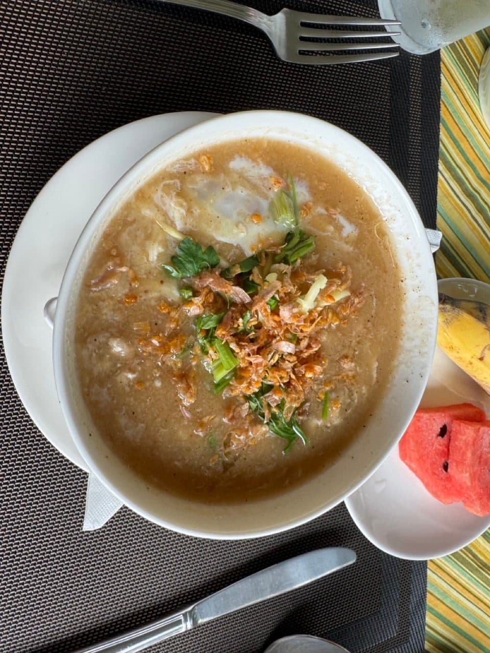
Tha Ton was under low cloud at first light, which burned off before we had finished breakfast.
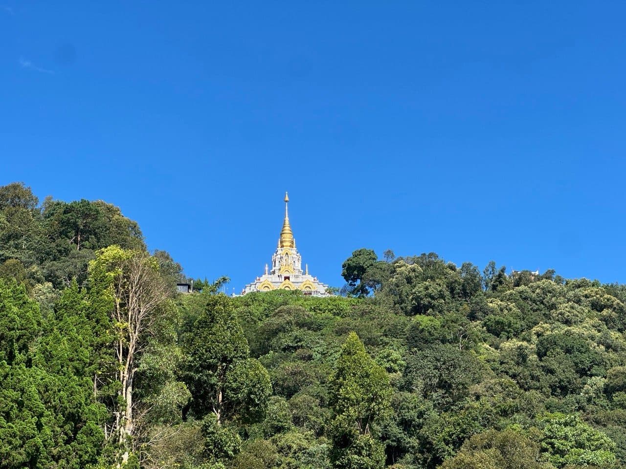
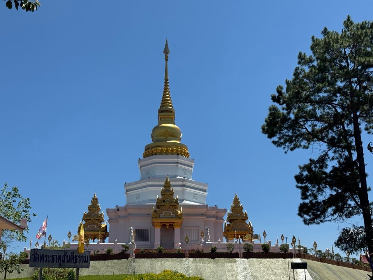
It is about forty-five kilometres from Tha Ton up to Doi Mae Salong. The village is another Yunnan settlement, considerably bigger than Arunothai, with tea terraces on every slope around it and a gold chedi sitting on the hill above. We spent an hour riding around the villages up there before turning off into the hills behind Namtok Mae Salong.
We met park rangers not far in. They asked where we were going, told us what the roads were doing further along, and wished us a safe trip. That is worth saying plainly, because the alternative version of this paragraph — the one where officials are an obstacle — is the one people expect, and it is not what happened to us on either day.
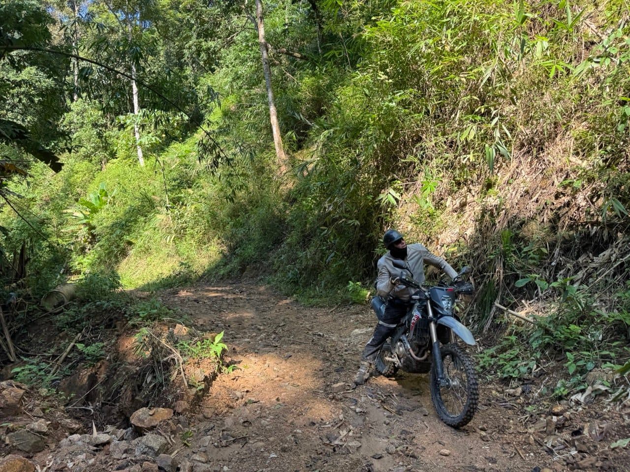
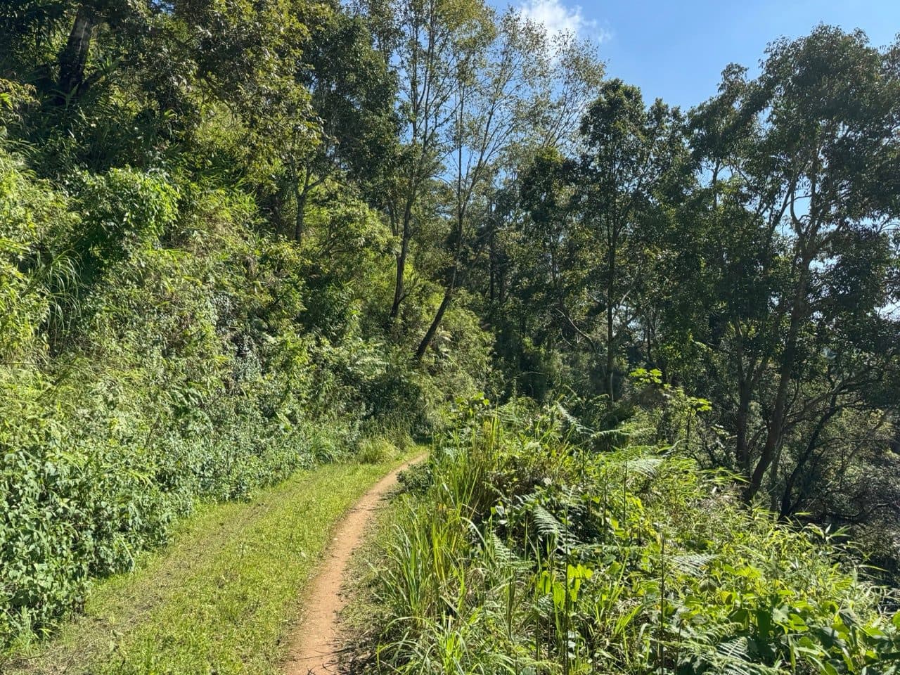
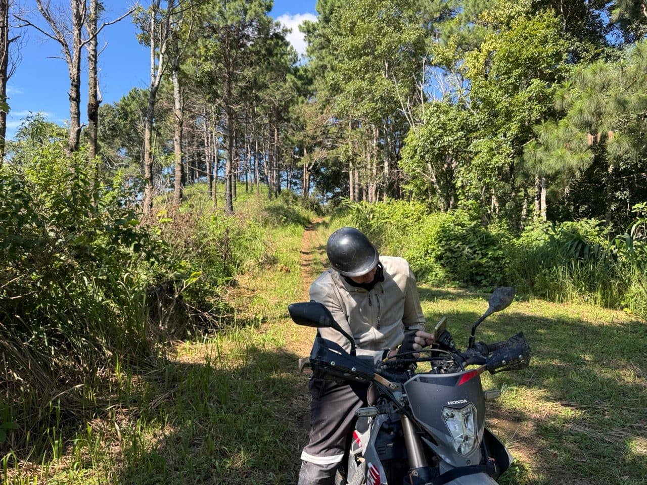
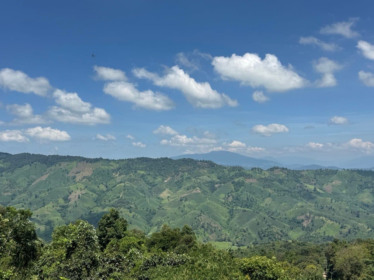
The track climbs onto a ridge and then simply follows it, through pine forest, narrowing in places to something closer to a footpath than a road. We passed two border outposts along the top. Both were signed — one for a Thahan Phran ranger company — and neither had anyone in it as far as we could see.
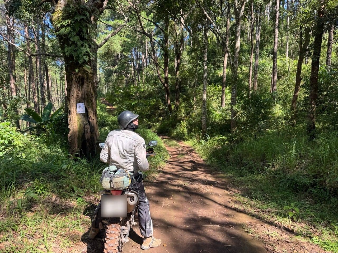
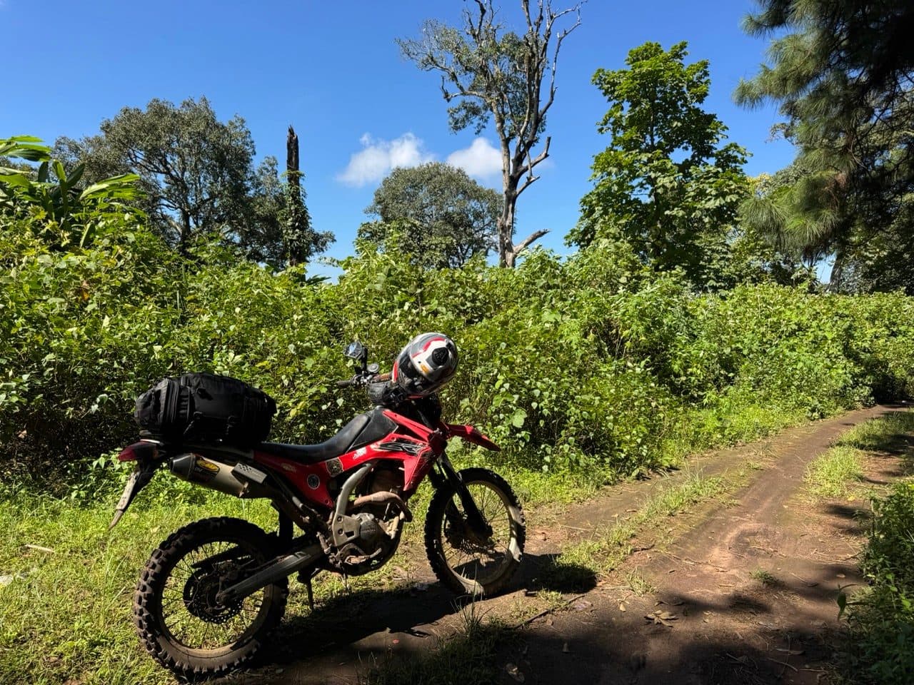
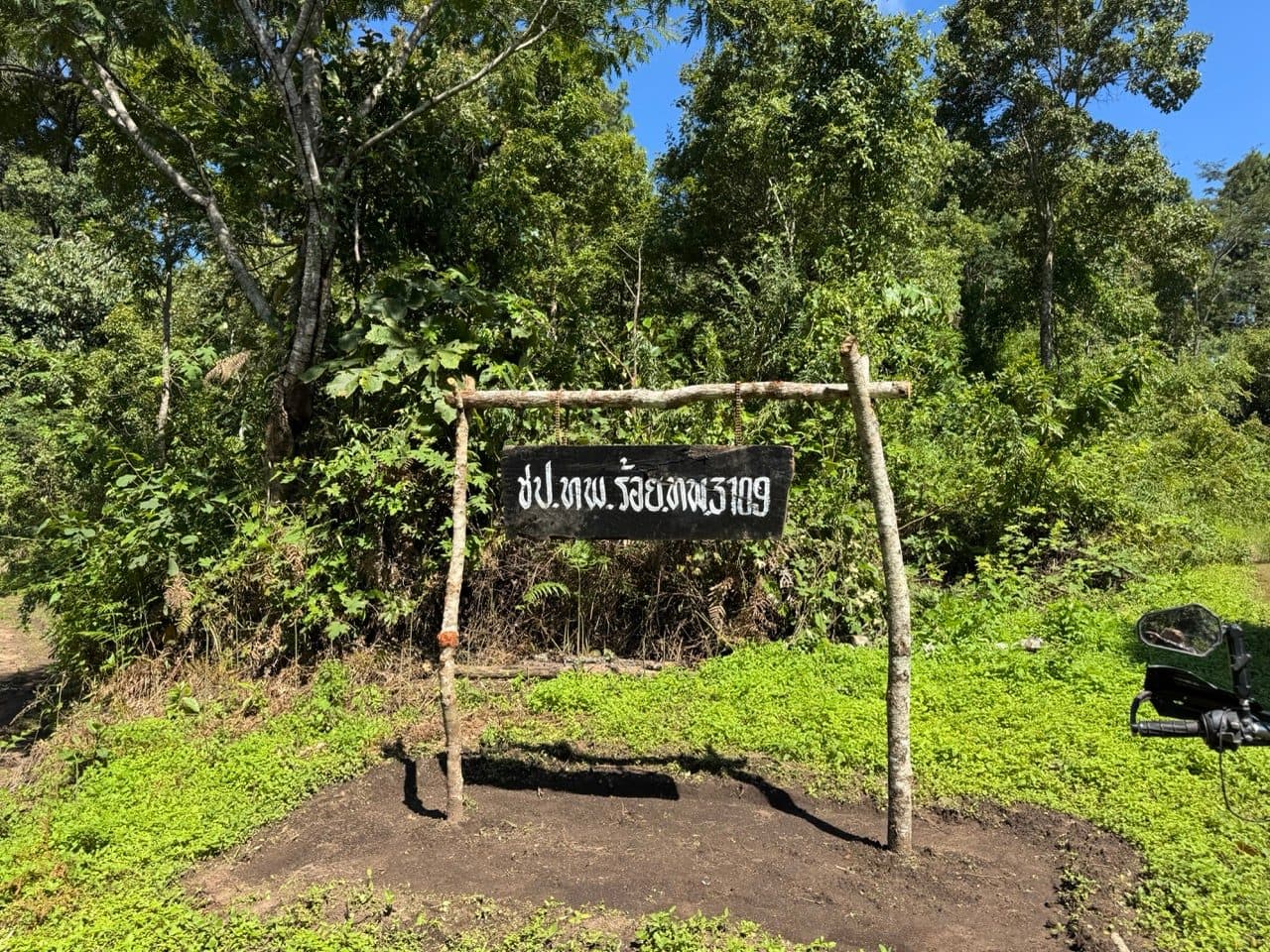
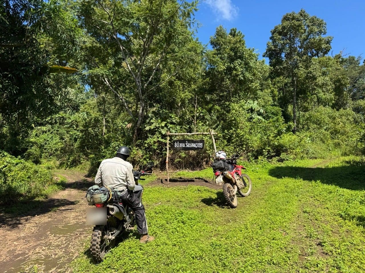
Then the track forked. The main line carried on ahead, into Myanmar. The other was a thin, disused-looking singletrack dropping off the side toward Baan Therd Thai. We took the second one.
This is the part of the weekend that earns a warning. Red clay again, but with green moss over the top of it and a gradient underneath, and we were down to walking pace for long stretches with both feet out. What was reassuring, in a backwards sort of way, were the scooter tracks in the clay. Somebody local had already come through that morning, which meant it went somewhere.
Lower down we came on a group harvesting chestnuts, who were as pleased to see us as anyone has been all year and would not let us leave until we had tried some. They pointed us down the rest of the hill and sent us off with good wishes. It is the bit of the weekend both of us keep bringing up.
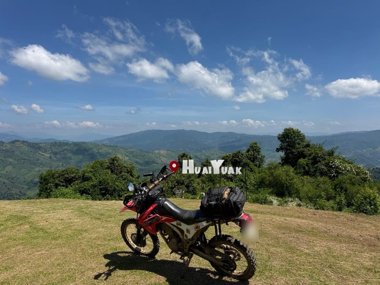
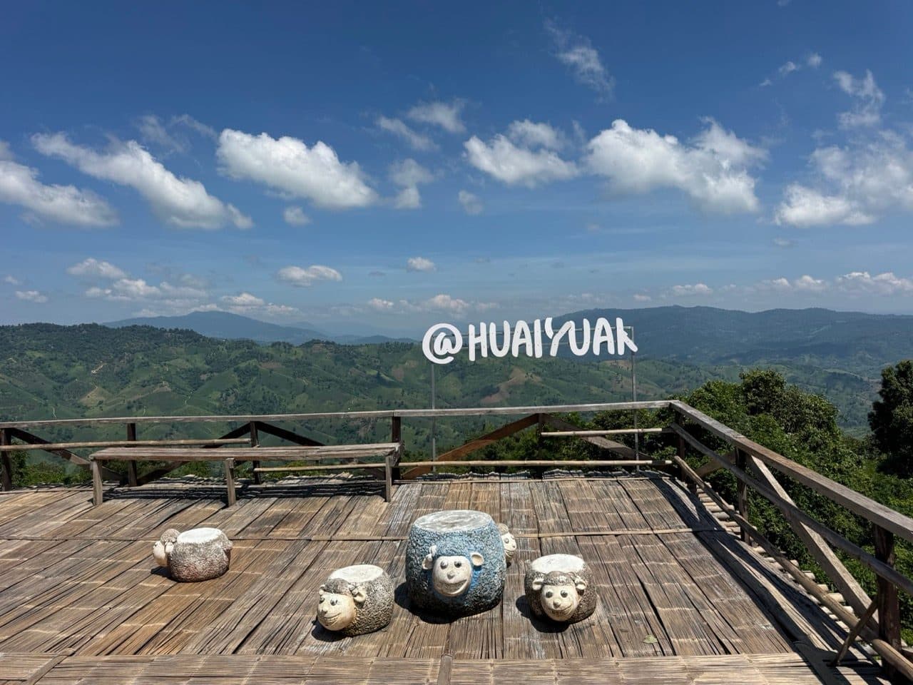
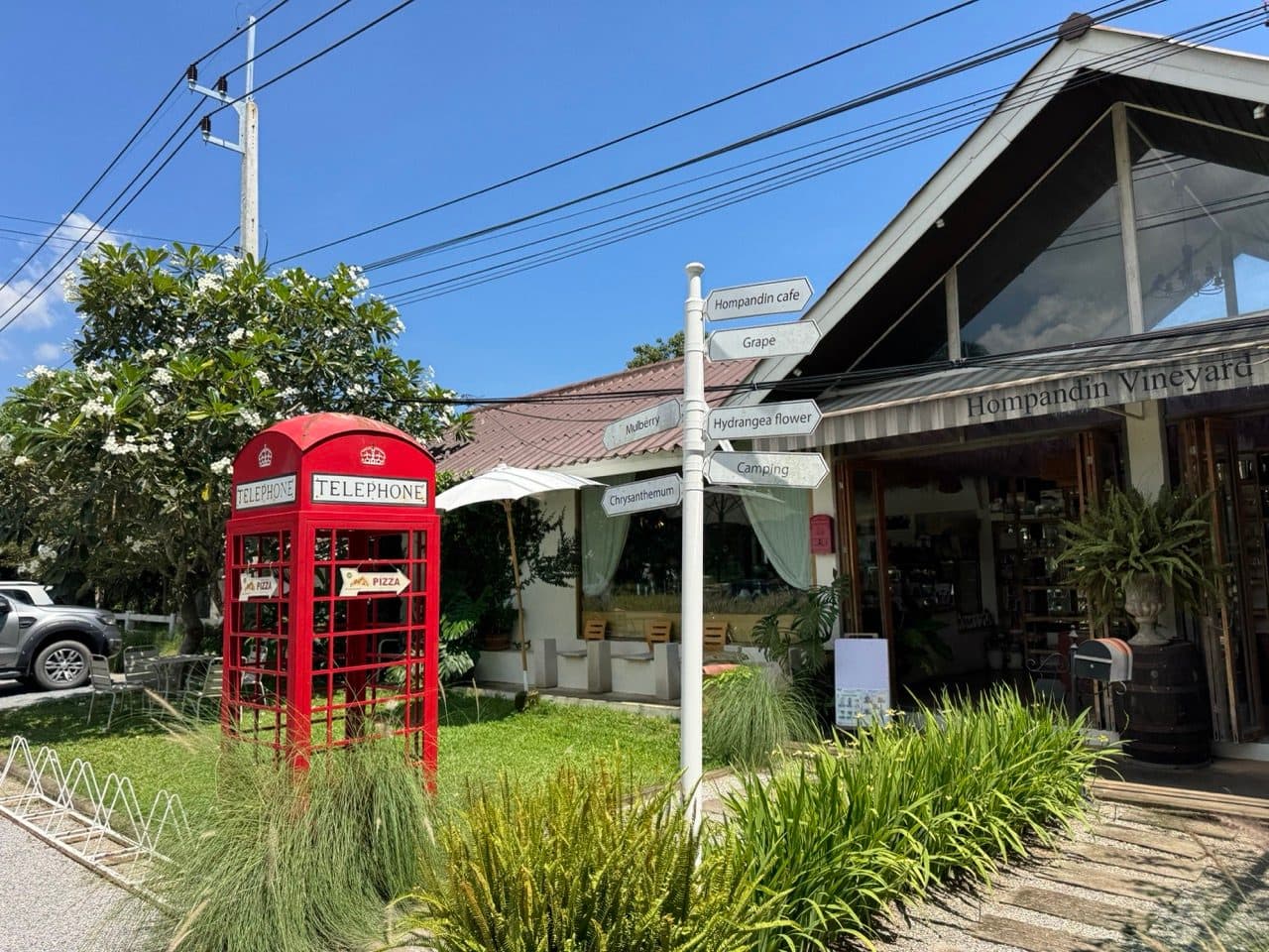
The last stretch into Baan Therd Thai is the reward for the slow bit above it: 4x4 trails running alongside a stream, dry, fast and genuinely fun. After that it was lunch at Hom Pan Din Vineyard, and then the long road home through Mae Ai and Chiang Dao.
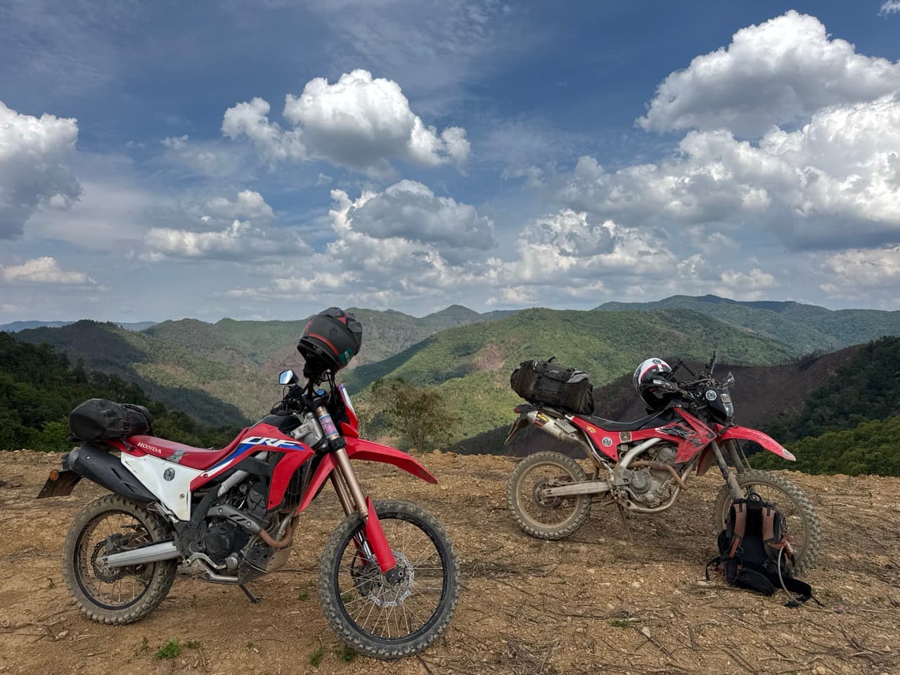
- ·Bikes: a CRF250L and a CRF300L. Both were right for this. Something heavier would have been miserable on the day two descent.
- ·Surface: in September the clay looks dry and is not. There is dust on top and grease underneath. Ride it as though it is wet, because it effectively is.
- ·Skill level: intermediate for the weekend as a whole. The mossy singletrack down to Baan Therd Thai is the section that demands respect.
- ·Border awareness: these tracks run up to and along the Myanmar border, and at least one fork on day two continues across it. Know which track you are on before you commit to it.
- ·Phone signal: patchy to absent along both ridgelines. Download offline maps before you leave Fang or Mae Salong.
- ·National parks: Doi Pha Hom Pok was closed when we tried it, and the ranger told us it would stay shut until 15 October. Worth a phone call before you build a day around it.
- ·Timing: two full days. We were riding from mid-morning to dusk on both.
- Can you ride the border road from Doi Ang Khang?
- We could not. We rode up hoping to join it and were turned back. The border road we eventually got onto is reached from the Fang side instead, on the next road over from the Doi Pha Hom Pok park entrance.
- Is Doi Pha Hom Pok National Park open in September?
- It was closed when we tried it on 12 September 2026. The ranger told us it would reopen on 15 October and that the road in was too slippery regardless. We cannot say whether those dates repeat every year, so check before you go.
- How hard is the trail down to Baan Therd Thai?
- It is the hardest thing on the weekend. Red clay with moss over it on a sustained descent, slow enough that we were at walking pace with feet out in places. It is manageable on a light trail bike if you are patient. It would be unpleasant on anything heavy, and genuinely bad in the rain.
- What bike do you need for this?
- A 250 to 300 trail bike is the sweet spot. We rode a CRF250L and a CRF300L and neither of us wanted anything bigger, particularly on day two.
- Is it safe to ride near the Myanmar border here?
- The tracks we rode are on the Thai side and we had no trouble on either day. The rangers we met were helpful. The thing to be careful about is navigation rather than danger: on day two the main track at the fork carries on into Myanmar, and you do not want to take it by accident.
- Where did you stay in Thaton?
- Mae Kok River Village Resort. Quiet, plenty of green, somewhere secure to leave the bikes, and the Northern Thai food at dinner was the best we ate all weekend.
GPX Downloads
2 files · 2.2 MB
Both days are on the routes page as standalone rides, with the GPX and the detail.