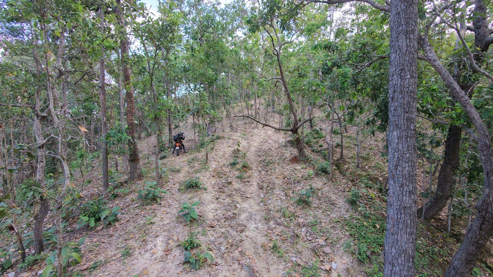
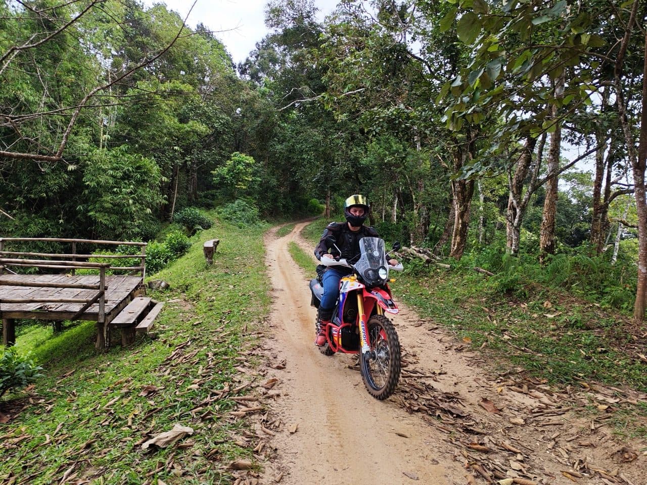
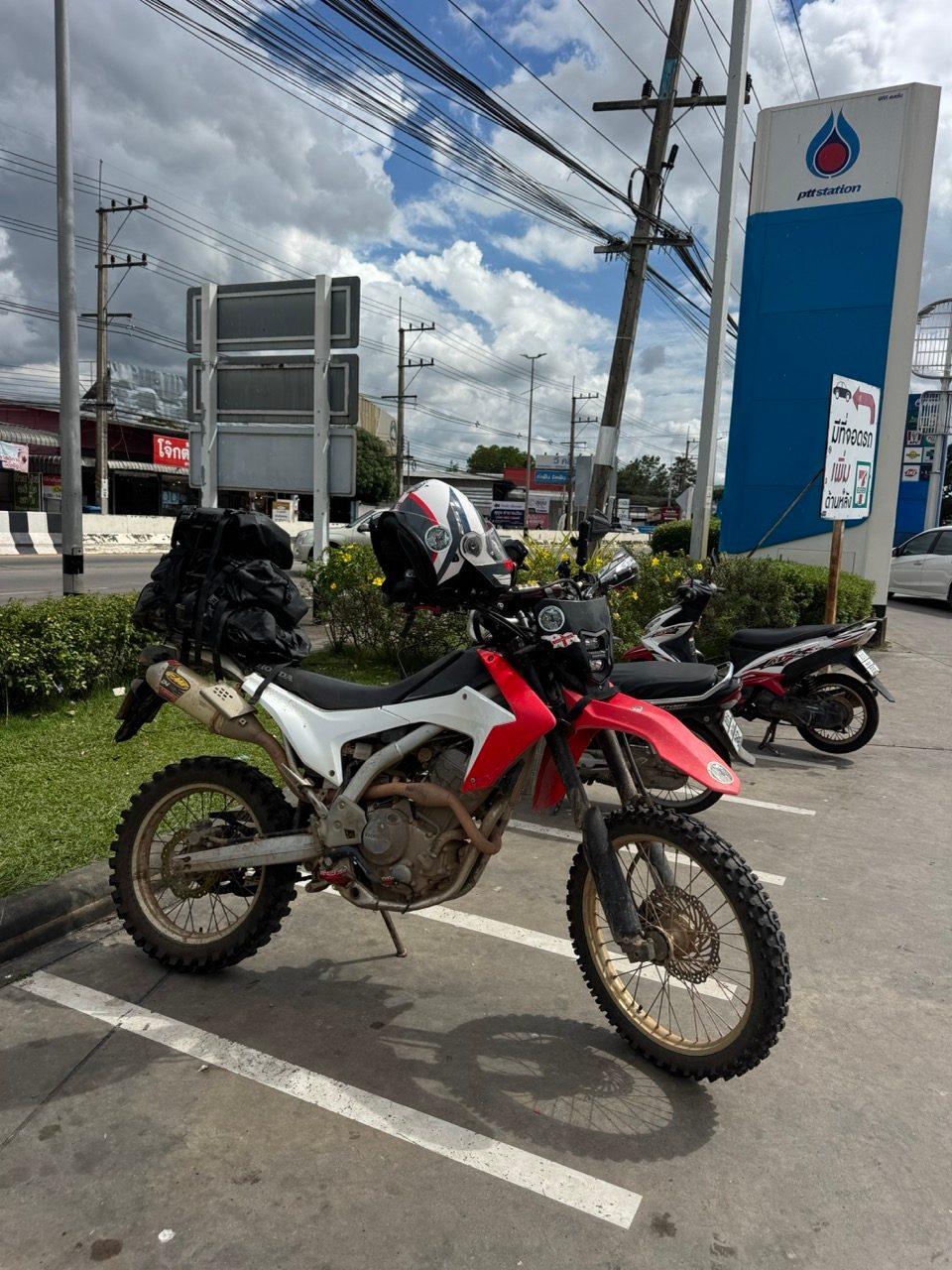
Setting off for Pai at noon isn't the textbook way to do it, especially when you're taking the back roads. I did it anyway: on my own, a CRF250L with one tail bag, out through Samoeng and over the hills via Ban Saar Nuea. On the way I met a German couple in a car who were trying the same road. Only one of us made it to Pai that way. Sunday was a slow start, a scouting loop north of town that's now a published route, and the 1095 home with what felt like half of Chiang Mai's bikers.
| Quick Facts | |
|---|---|
| Days | 2 |
| Total distance | ~339 km (123 km on Day 1, 216 km on Day 2) |
| Riders | 1, on a Honda CRF250L with a soft tail bag |
| Season | Start of the cool season (November), after a week of unseasonable rain |
| Surface | New concrete, red-dirt farm roads and forest tracks, mud and fresh gravel at the roadworks above Ban Saar Nuea, rutted and rocky climbs on the Hermit Cave Loop, then tarmac on the 1095 |
| High point | 1,584 m on Day 1, above Ban Saar Nuea |
| Sleep | Pai Cherkaew, Pai |
| Notable | Ban Saar Nuea, the Hermit Cave Loop, Route 1095 |
| Skill level | Intermediate. The mud at the roadworks above Ban Saar Nuea after rain is what sets it |
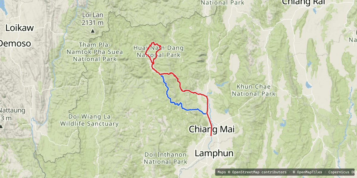
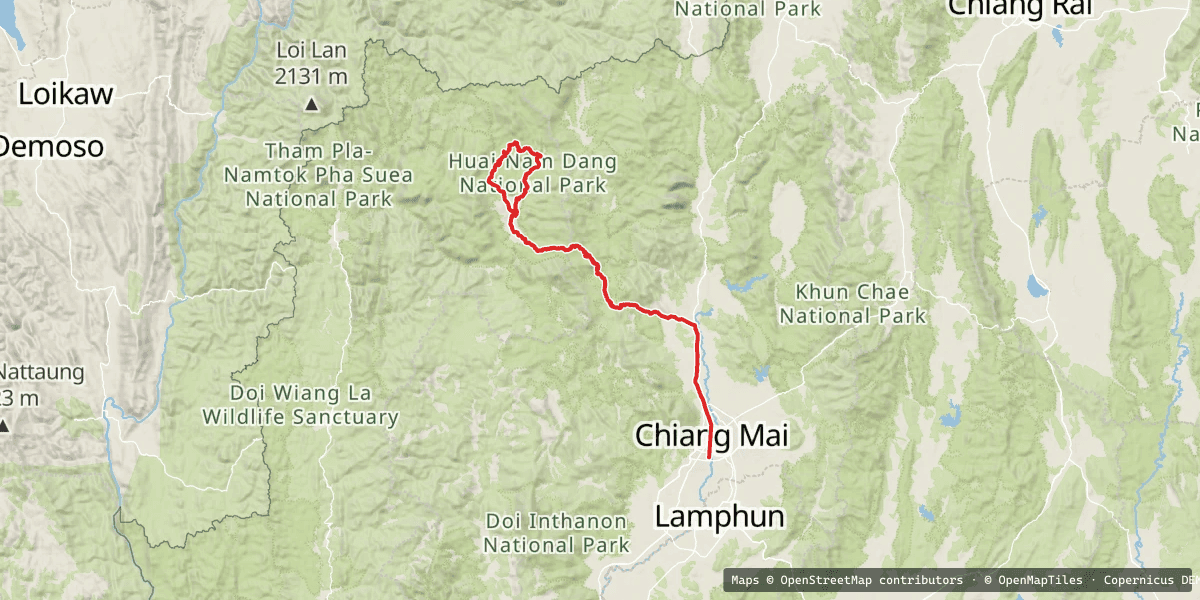
The Whole Loop, in One Map
Day 1 heads west out of Mae Rim to Samoeng, then north over the hills through Ban Saar Nuea and down into Pai. Day 2 is a loop north of Pai, then the main road, the 1095, back to Chiang Mai via Mae Taeng.
The Route at a Glance
| Day | Route | Distance | Sleep |
|---|---|---|---|
| Day 1 | Chiang Mai → Samoeng → Ban Saar Nuea → Pai | ~123 km | Pai Cherkaew |
| Day 2 | Hermit Cave Loop (from Pai) → Route 1095 → Chiang Mai | ~216 km | Home |
Day 1 — The Back Road to Pai via Ban Saar Nuea (~123 km)
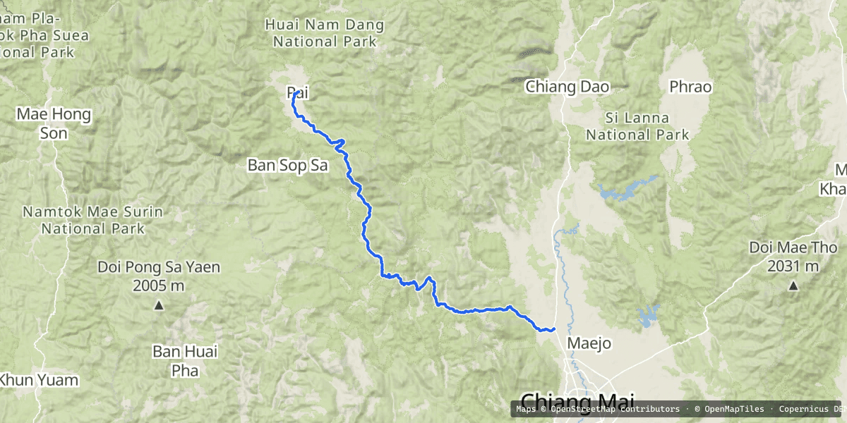
I was fuelled up in Mae Rim and rolling at quarter to one. That's late for a road that's mostly dirt and climbs to nearly 1,600 m, but the days are still long enough in November if nothing goes wrong.
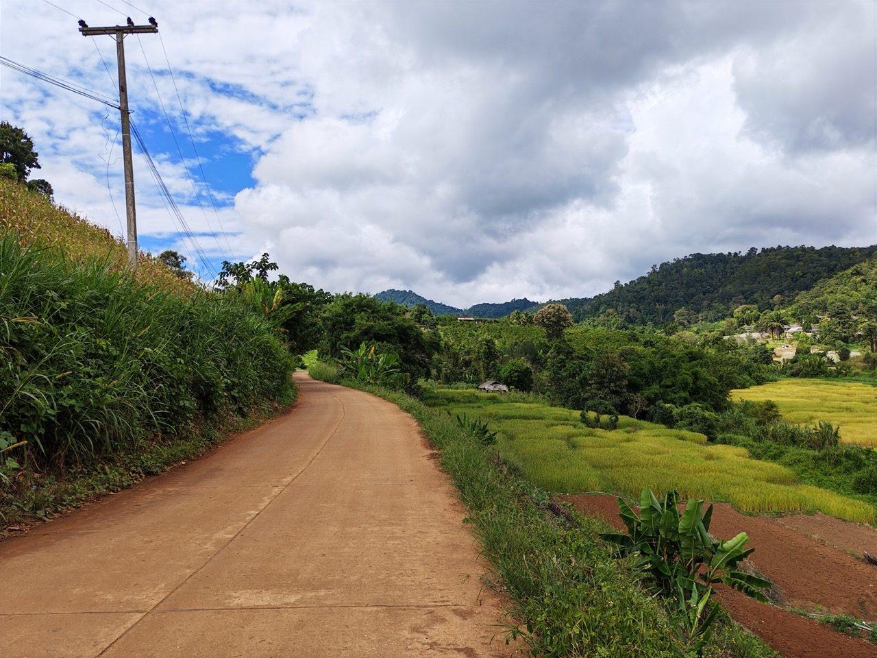
The first 50 km, out past Samoeng, are almost all concrete, and a lot of it is new. That's the theme of this road right now. Big stretches that used to be dirt have been poured, and the plan is to pave the rest soon. If you want to ride the Ban Saar Nuea road as a dirt road, don't wait too long.
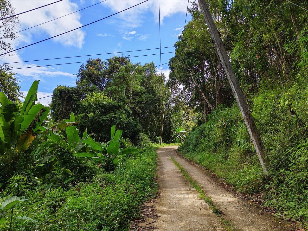
Around km 50 it finally runs out and the red dirt begins. Under the trees the track was still soft from a week of unseasonable rain. It wasn't slippery, just damp and a bit tacky.
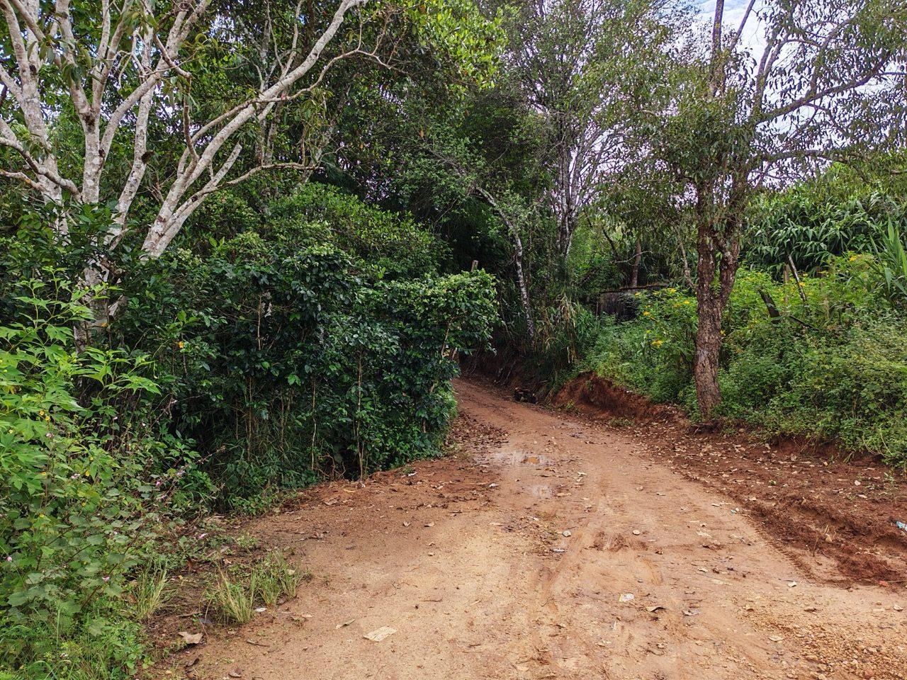
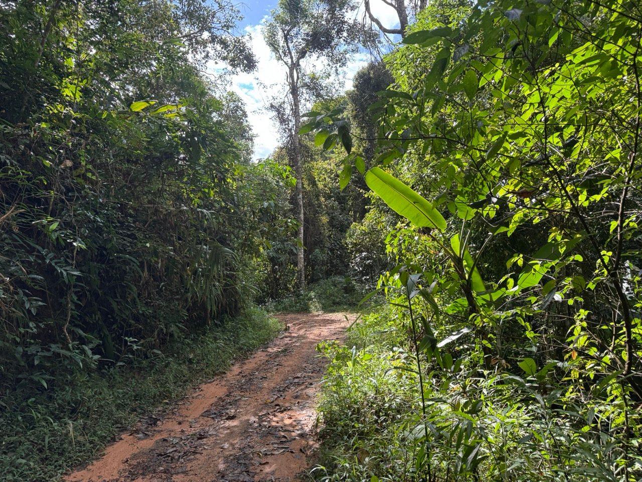
Then the forest opens out into small valleys. The rice has mostly been harvested, there are terraces cut into the hillsides, and every so often you pass a village above the paddies.
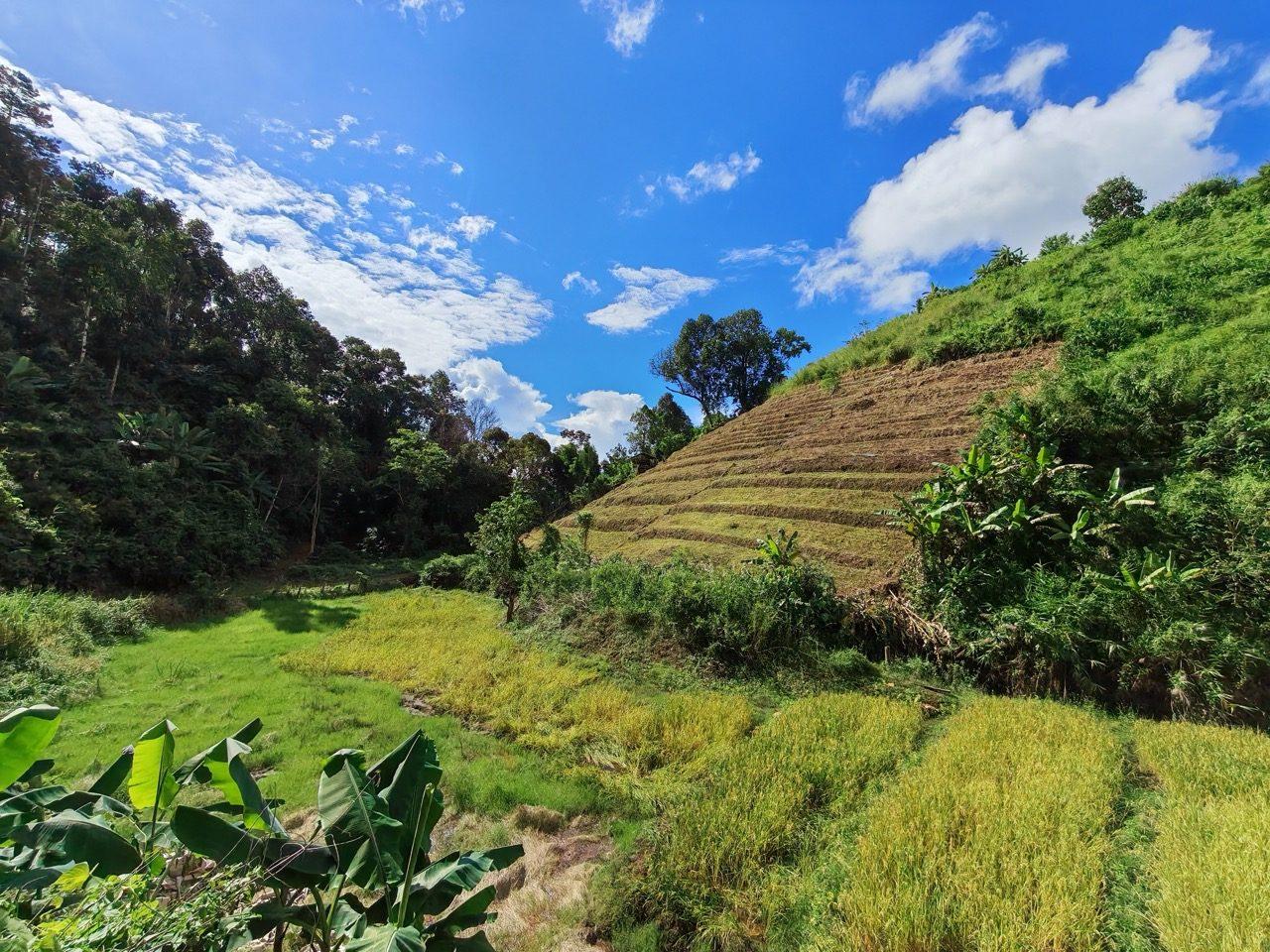
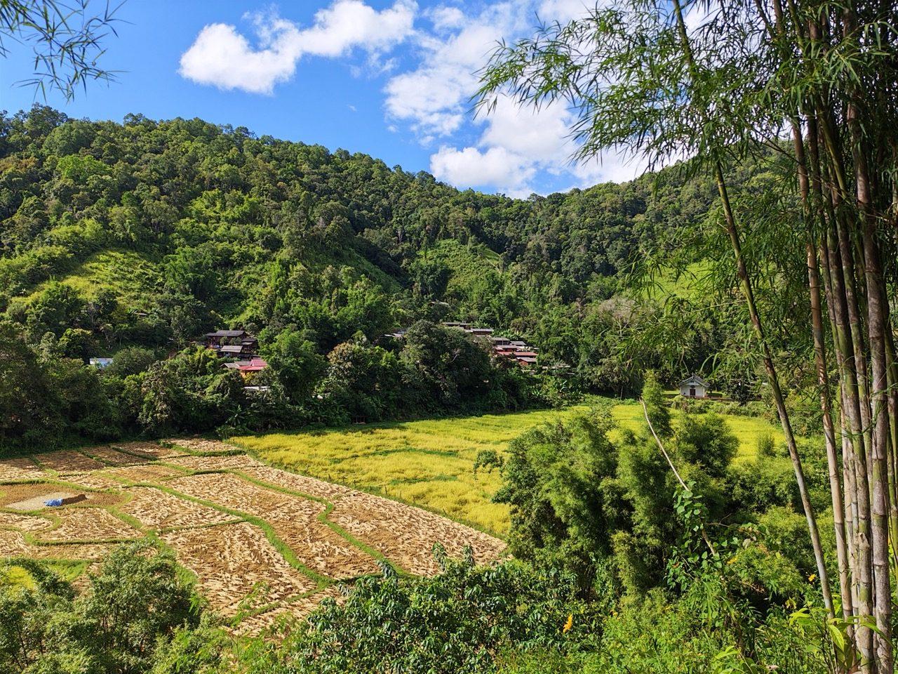
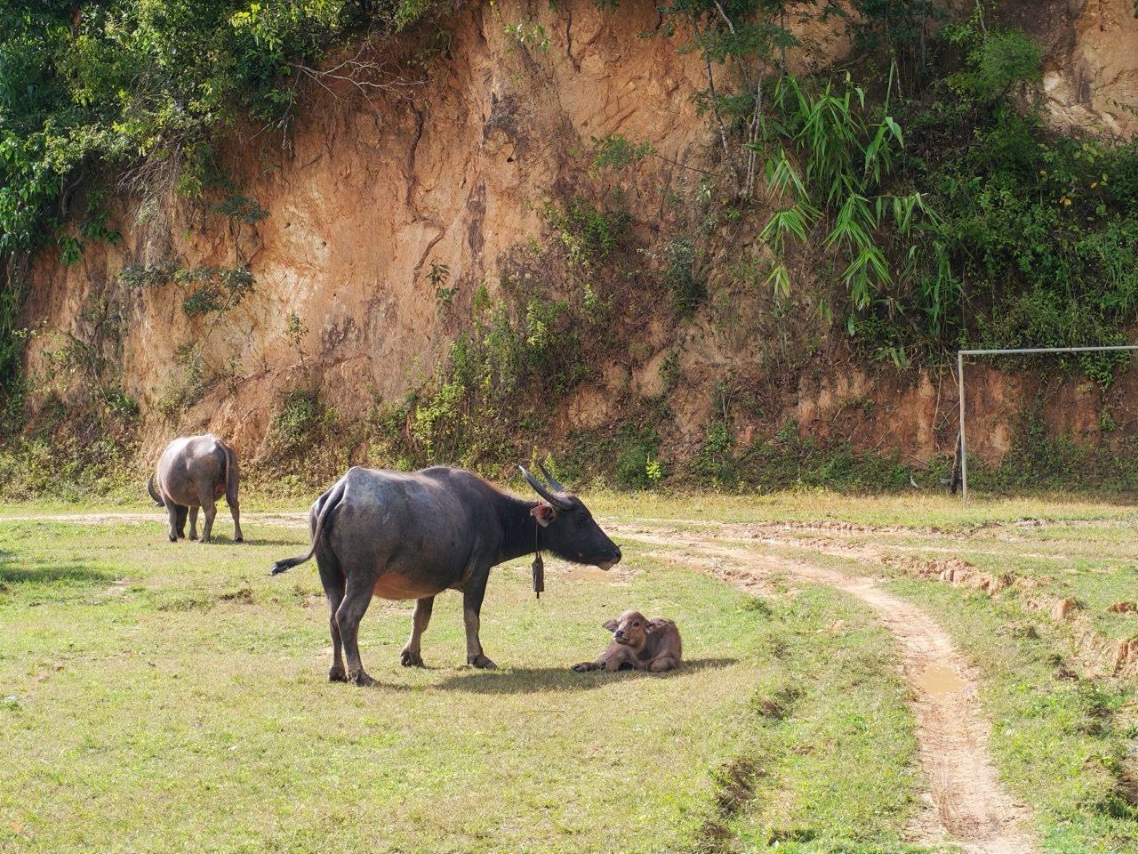
At one village the football pitch had been taken over by buffalo, calf included.
Just past Ban Saar Nuea, about 80 km in, I came across a German guy and his wife driving their car along the same road. We stopped for a chat. They were heading for Pai too, and after a good talk he decided to press on.
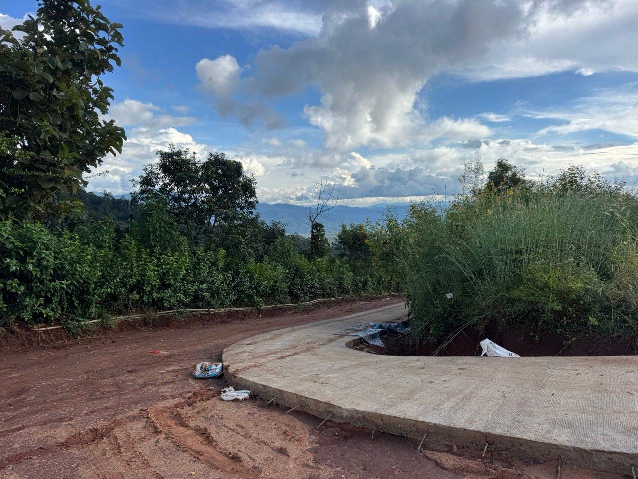
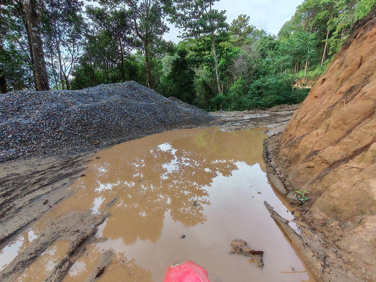
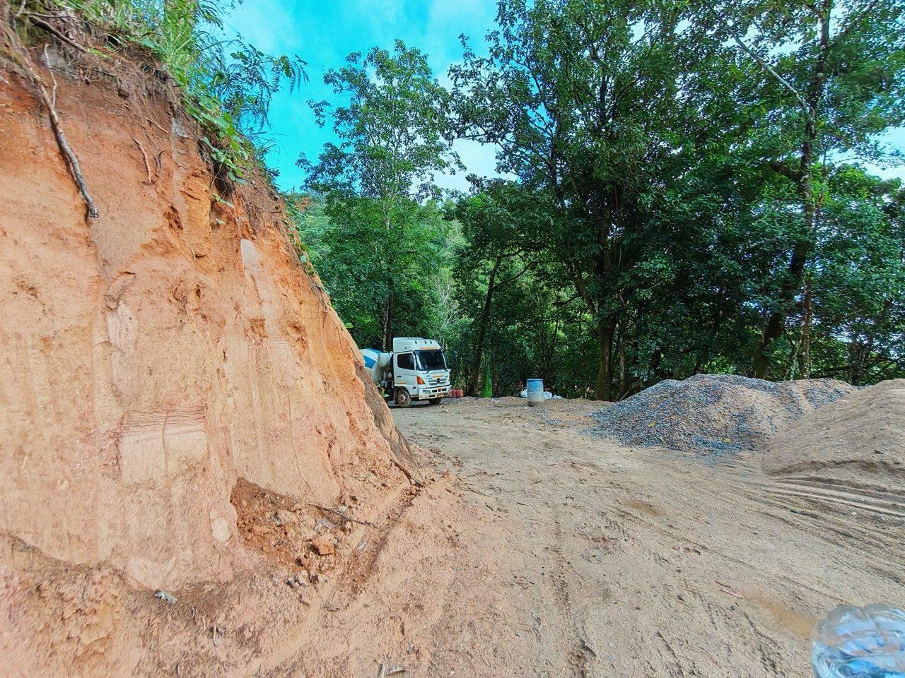
The road ahead is where the new concrete is being laid. Above Ban Saar Nuea there are gravel heaps, trucks parked up and torn-up dirt, and after the week's rain a fair bit of it was mud and standing water. On a dirt bike it's fine if you're patient. In a car, it turned out, it isn't. The mud turned him back.
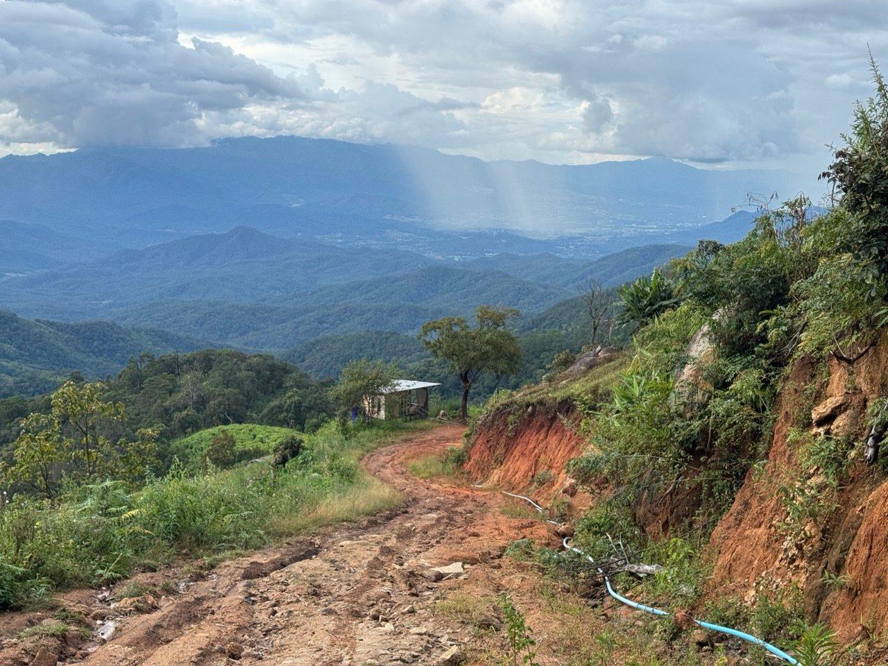
The road tops out at 1,584 m on a red-dirt ridge with the whole valley below. There was rain falling a few valleys over, which made for a good view and an incentive not to hang around. From there it's downhill, through grassy ridges and farm roads, then the last stretch into Pai. I got in at about half five.
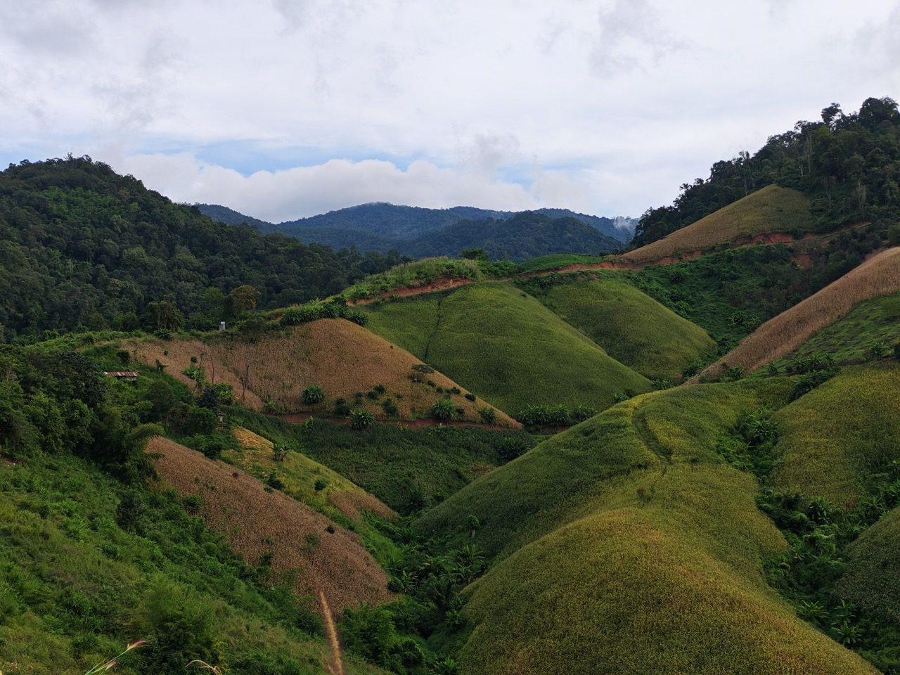
I stayed at Pai Cherkaew. The bike parks on site, on the lawn out front, and I'd stay there again.
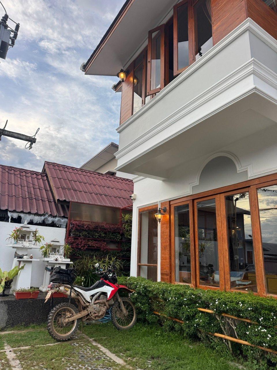
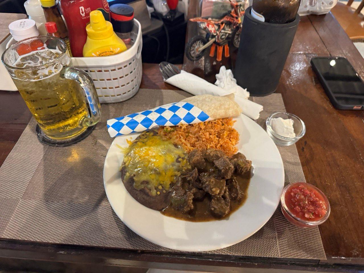
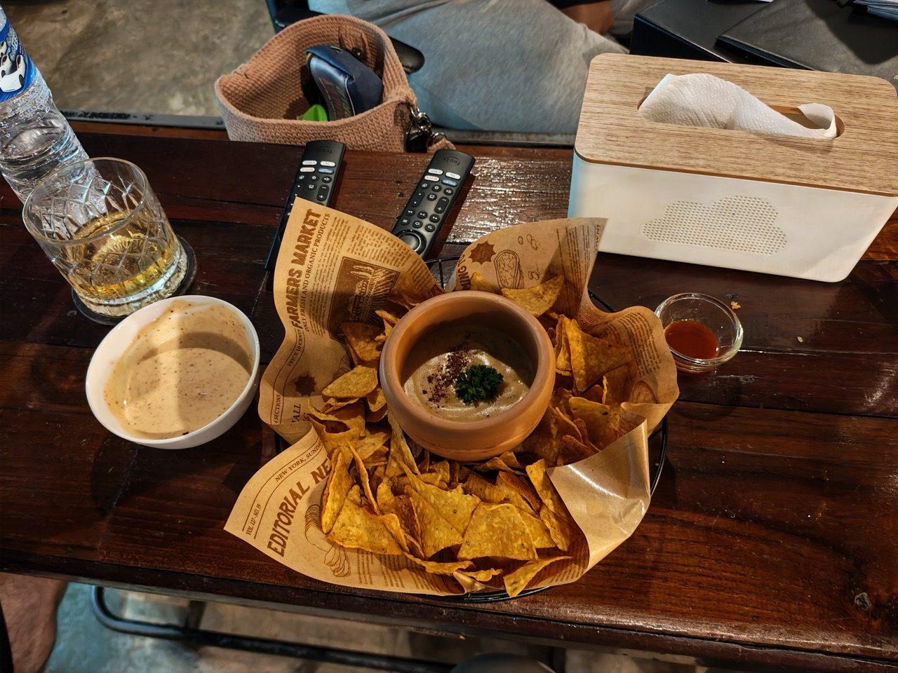
Dinner and drinks were at The Lost Texan, catching up with friends. The German couple came along for drinks too. They'd made it to Pai in the end, just not by that road. It turned into a long night, and the second photo is from considerably later.
Day 2 — The Hermit Cave Loop and the 1095 Home (~216 km)
Given the night before, Sunday was always going to start slowly. Breakfast was at Mint.

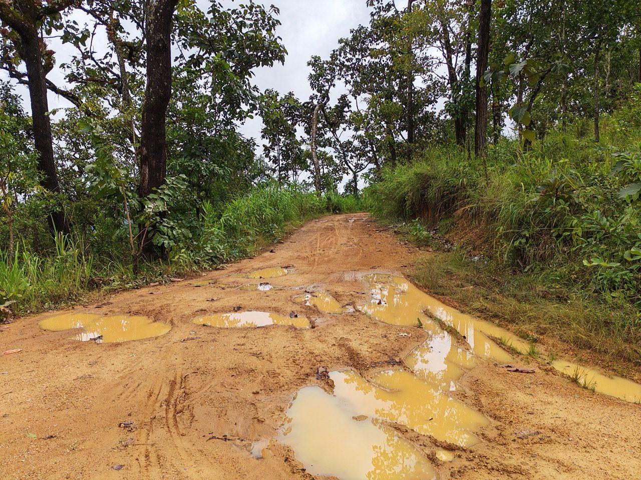
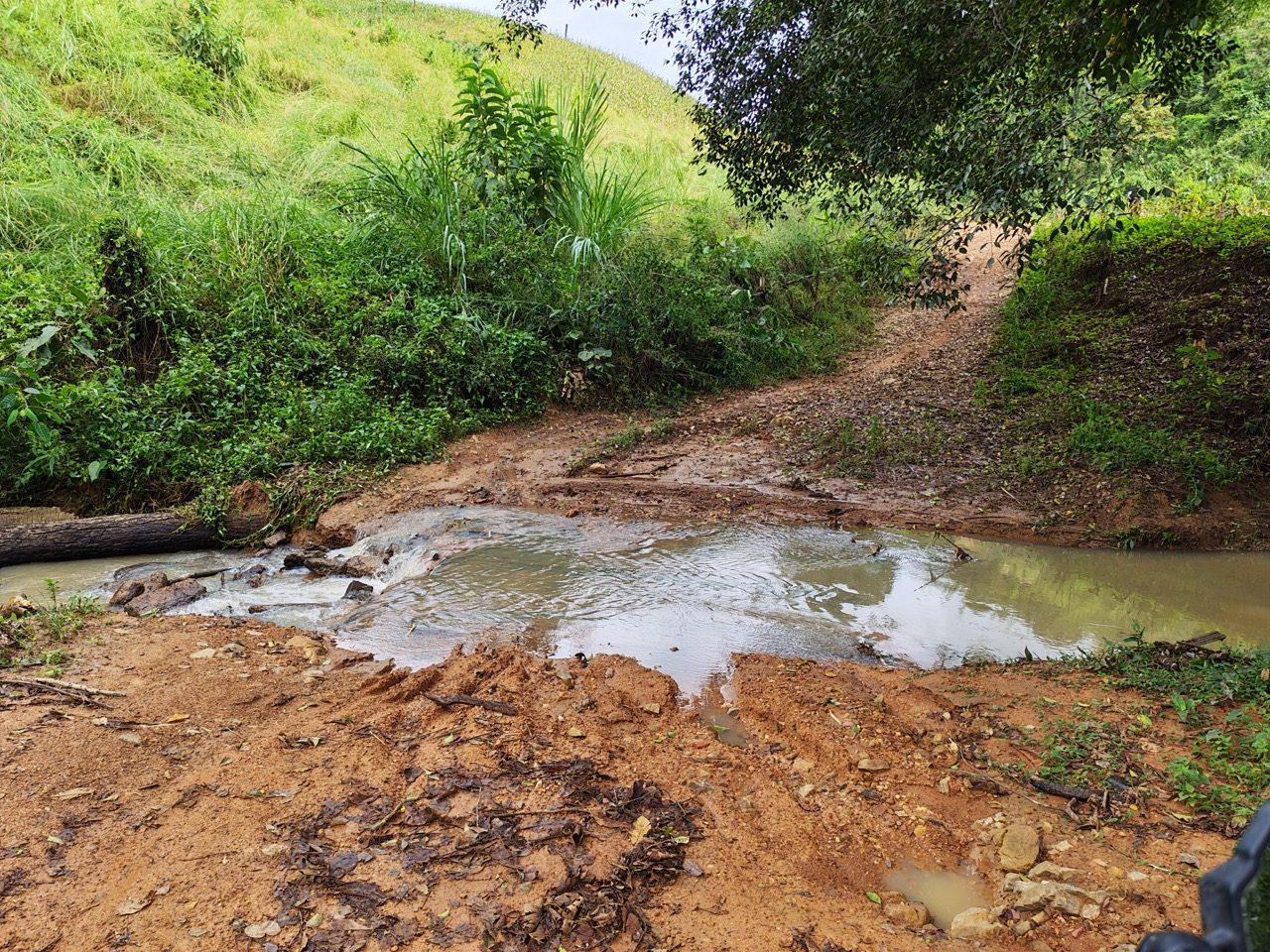
Around noon I headed north out of Pai to look for dirt. Past Mae Na Toeng the land opens up into rolling grass hills, and a lot of the lanes up toward Doi Phi Lu and Nam Pla Mung are new concrete, the same story as the day before. But between the concrete there's still dirt, and some of it still had puddles from the week's rain.
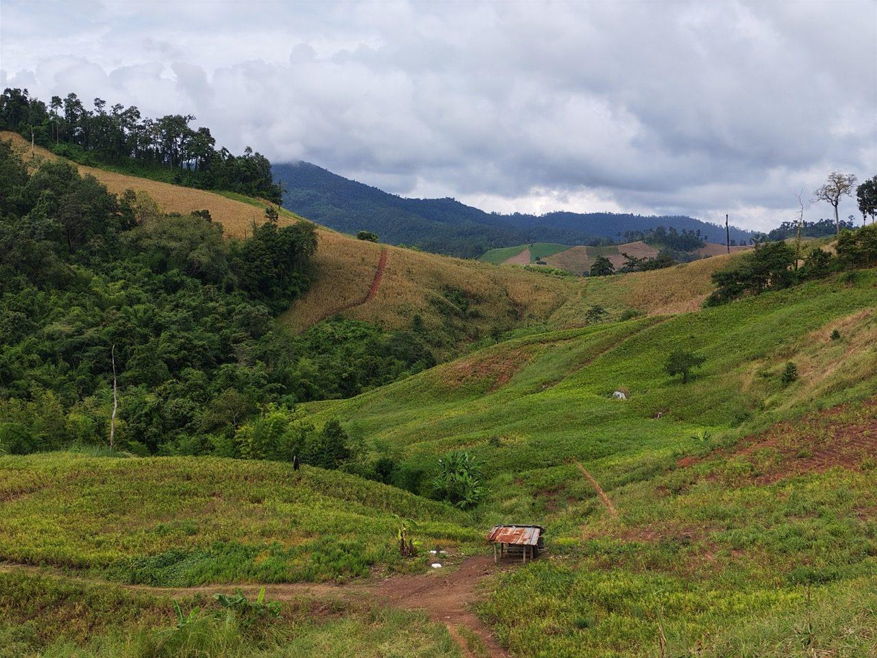
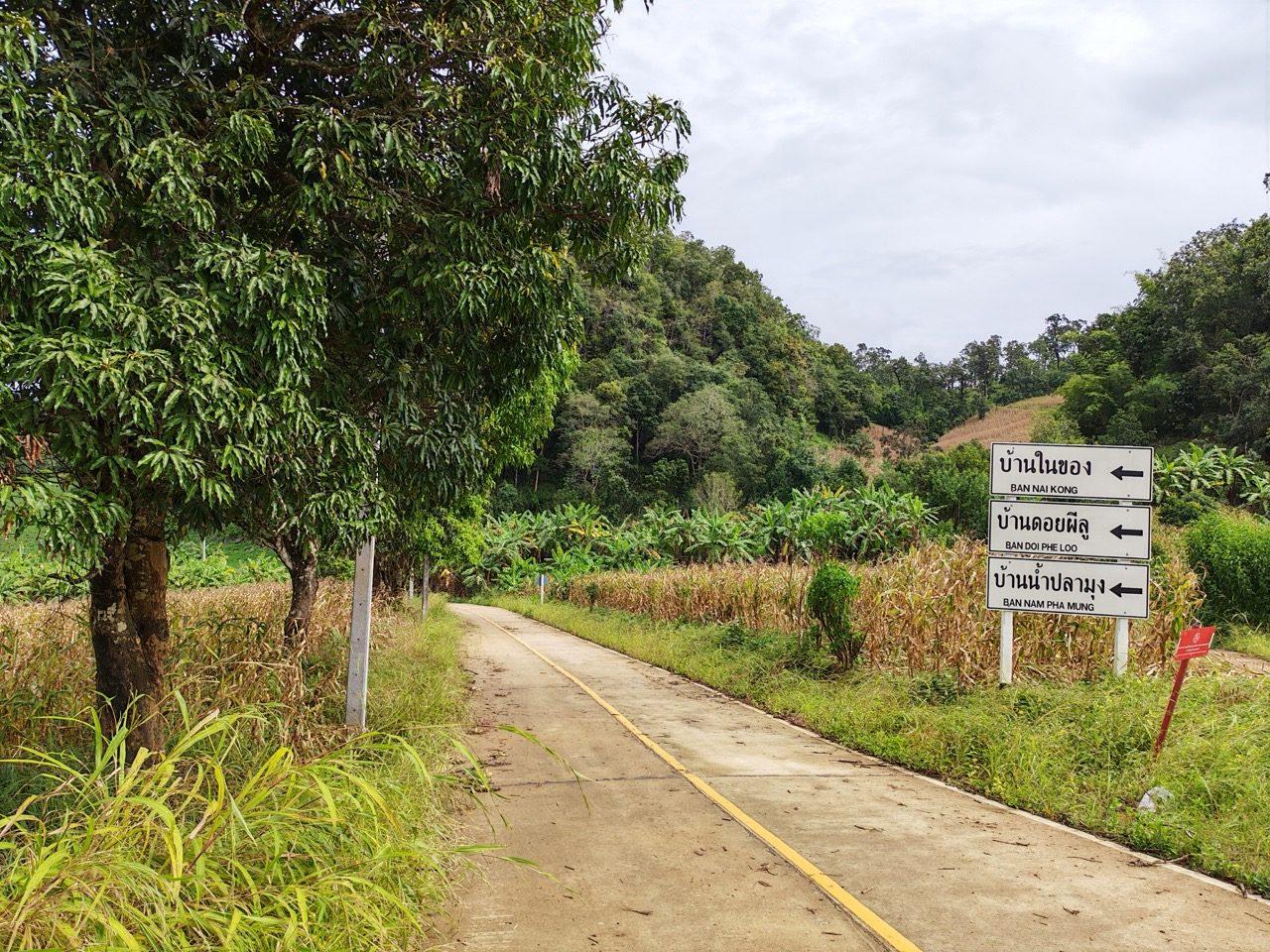
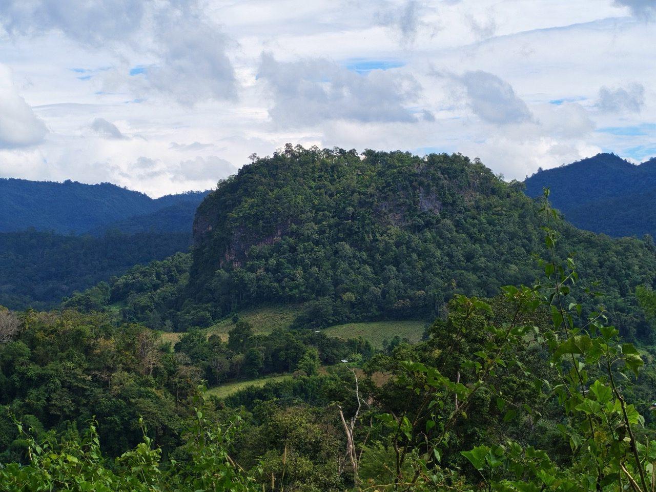
Up high it's big views over forest and cleared hillsides, with limestone poking out of the fields, and hill villages strung along red-dirt lanes between the corn.
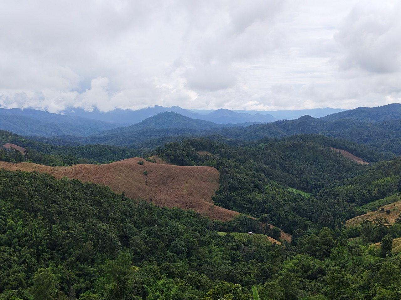
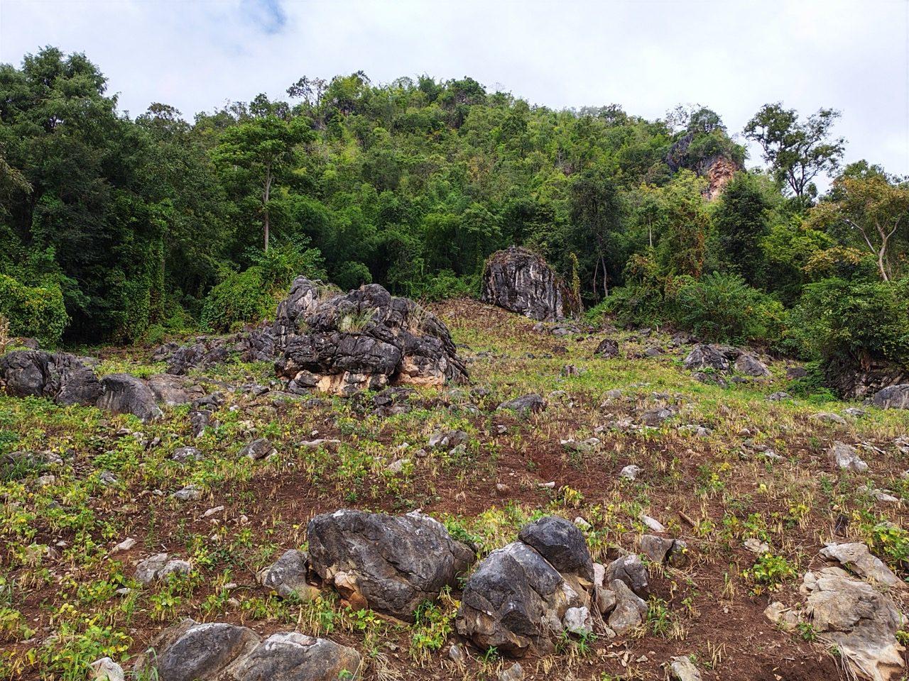
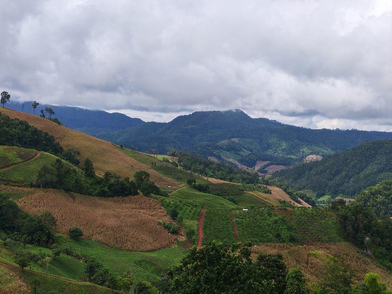
Then the good bit. A short section off the concrete had water running across the track, a rain-cut rut down the middle of the climb and a stretch of loose rock. None of it is long, but it's real dirt-bike riding, and it's the part of the loop with the most promise.
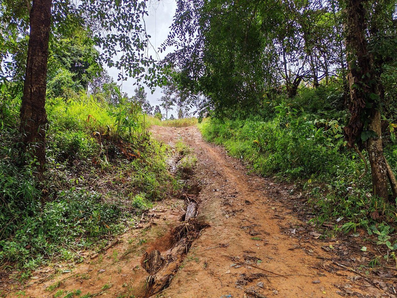
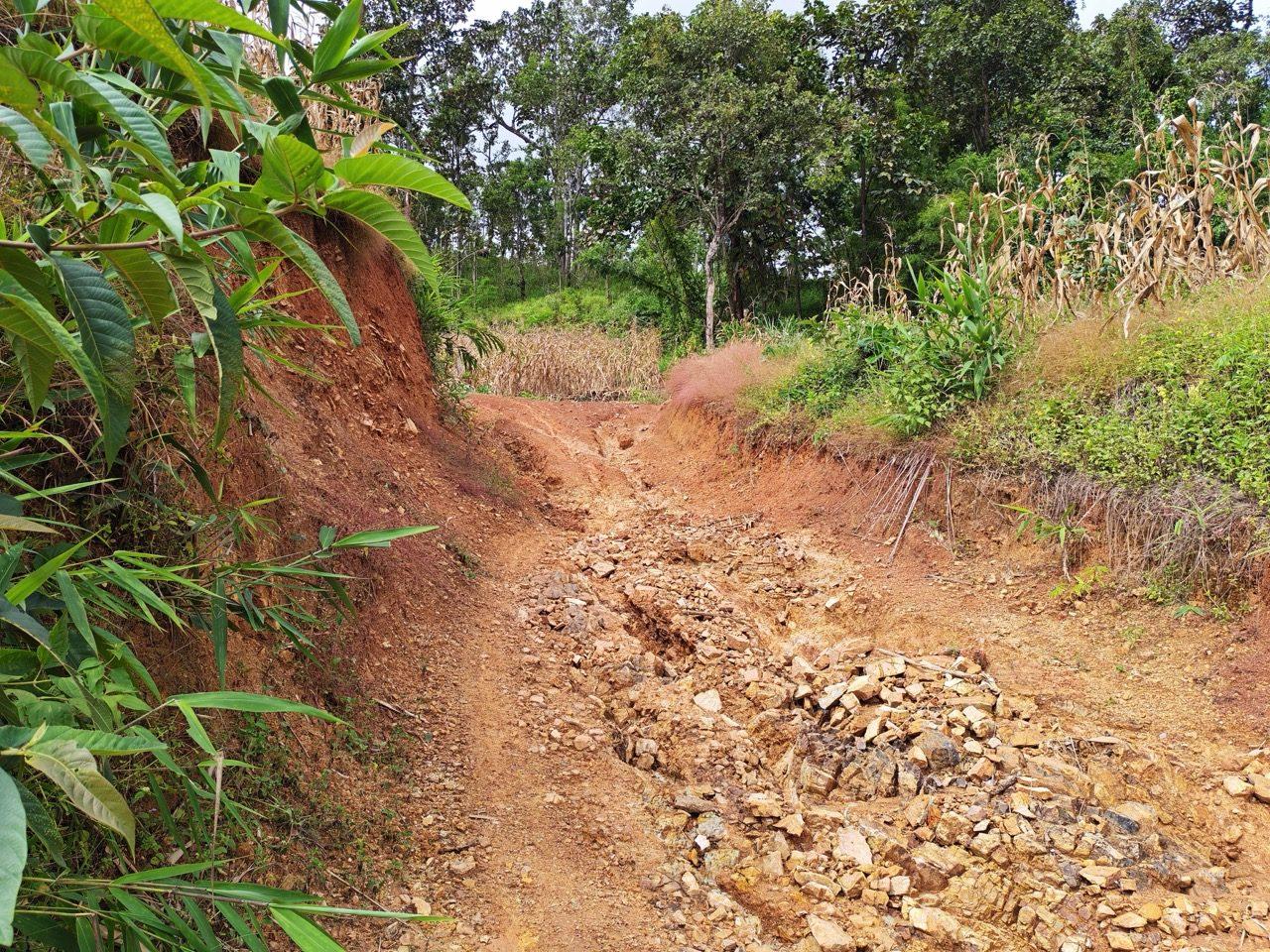
Back on concrete (for now), the loop climbs to about 1,200 m through pine forest with big valleys either side.
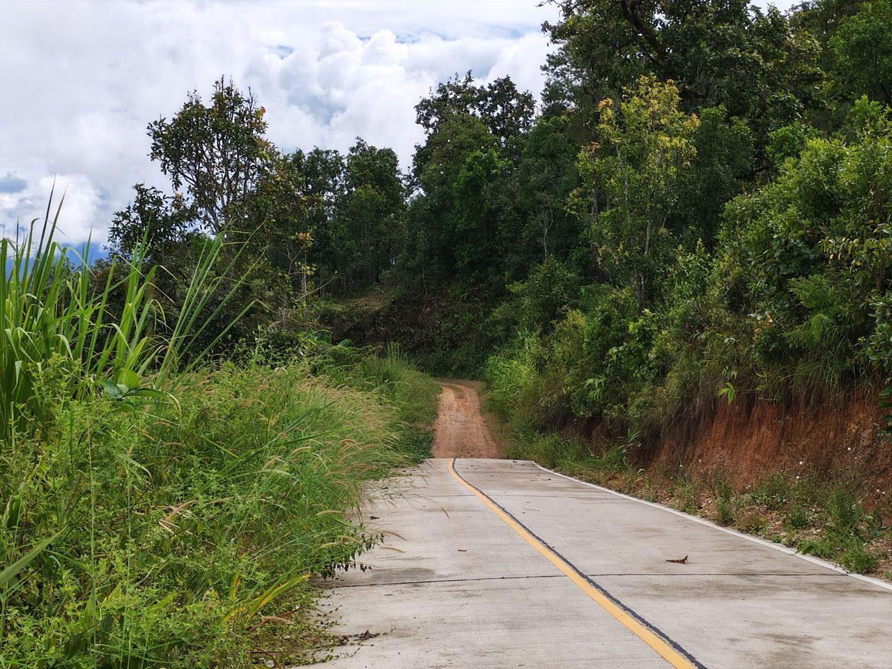
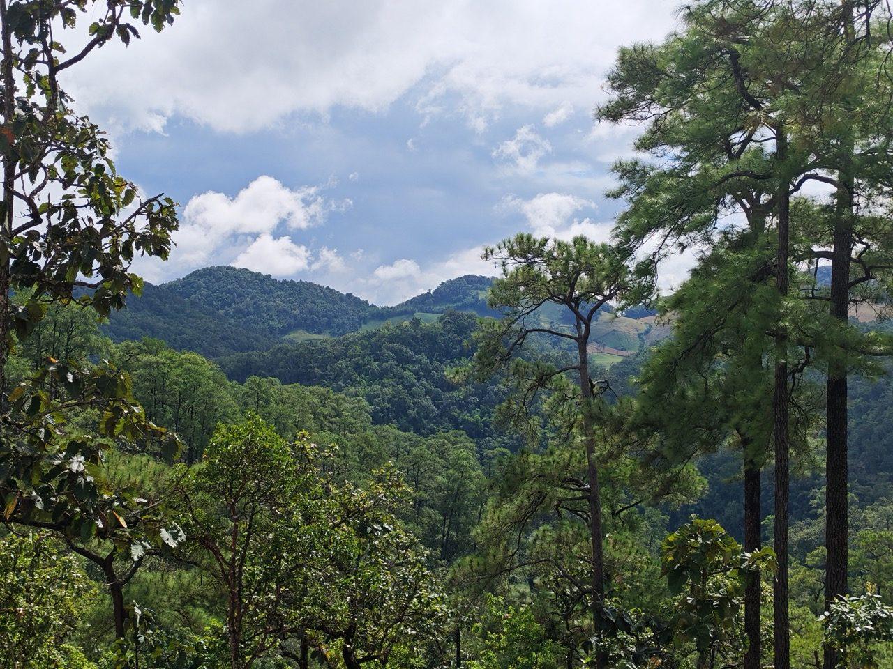
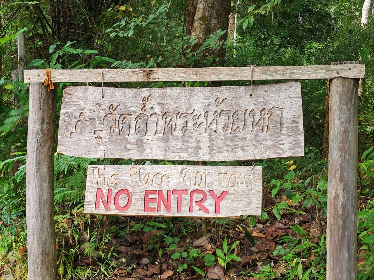
The loop gets its name from the hermit cave on the high section. You can't visit it: the gate is closed and signed "This place not tour — NO ENTRY". Please respect that and ride on past.
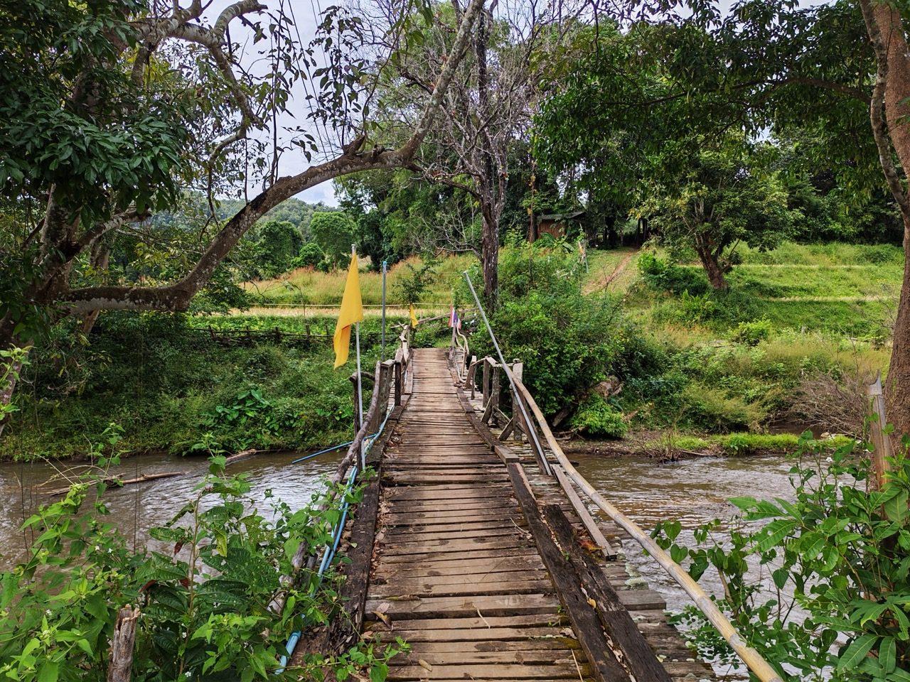
The way back toward Pai drops past limestone hills and a wooden footbridge over the river. The whole loop is about 80 km, and I was back in Pai by about twenty past two. I've posted it as the Hermit Cave Loop. It's complete and rideable, but it's a work in progress. There are plenty more dirt tracks out there to add, and it'll get refined as the dry season goes on.
Then home on the 1095. It's the quick way, and on a Sunday afternoon it's busy: lots of traffic and loads of bikers heading back to Chiang Mai. I was home at about half four.
If You're Thinking About Doing This
- ·Ride the Ban Saar Nuea road soon. A lot of it is new concrete already, and the rest is due to be paved.
- ·After rain, the roadworks above Ban Saar Nuea turn to mud and standing water. It's manageable on a dirt bike if you take it slowly. A car got turned back the day I rode it.
- ·Expect trucks and gravel heaps on the road through the roadworks, and give them room.
- ·Start earlier than I did. Leaving Mae Rim at quarter to one got me into Pai at half five, which doesn't leave much slack if anything goes wrong.
- ·The 1095 is busy at weekends, with plenty of cars and plenty of bikes. Ride it like everyone else on it is distracted.
- ·The hermit cave is signed no entry. Ride past.
FAQ
- Can you ride from Chiang Mai to Pai on dirt?
- Yes, though less of it every month. Our route went west from Mae Rim to Samoeng and then north over the hills through Ban Saar Nuea. The first 50 km or so are concrete, then it is mostly red dirt and forest track up to 1,584 m and down into Pai. Large parts are being concreted, and the rest is due to be paved soon.
- How long does the Ban Saar Nuea route to Pai take?
- Our track from Mae Rim to Pai was 123 km and took just under five hours, including a half-hour stop to chat.
- Can you drive the Ban Saar Nuea road to Pai in a car?
- Not after rain, going by this trip. A couple we met driving a car along it were turned back by mud at the roadworks above Ban Saar Nuea, after a week of unseasonable rain.
- Can you visit the hermit cave on the Hermit Cave Loop?
- No. The gate to the cave is closed and signed "This place not tour — NO ENTRY". The loop is named after it, but please respect the sign and ride past.
- Where did you stay in Pai?
- Pai Cherkaew. The bike parks on site, on the front lawn, and I would stay there again.
GPX Downloads
2 files · 1.3 MB
Day 1 follows part of Pai to Chiang Mai - Option 2 (the published route runs the other way, from Pai). Day 2 starts with the full Hermit Cave Loop. Both are on the routes page with the GPX and the detail.