Phang Ma Pha and the Myanmar Border
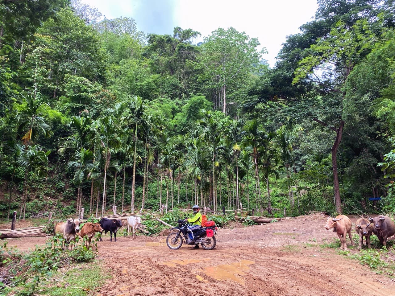
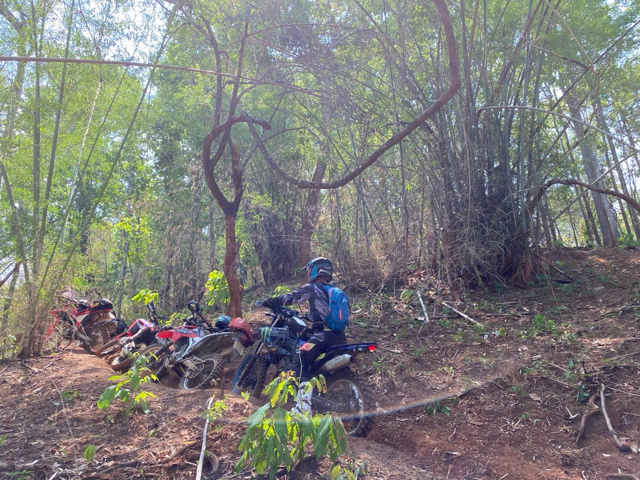
An excellent dirt and concrete ride up through Phang Ma Pha (near the helicopter trail) coming to the Myanmar border. Commands stunning views of the surrounding countryside, including into Myanmar, this is an excellent way to explore the Northern frontier.
Map

Images

Get Route
PriceIn Stock
Free
FormatGPX Download
DeliveryInstant
CompatibilityAll GPS Devices
What's Included
- ✓High-quality GPX file for GPS navigation
- ✓Waypoints for fuel stops and points of interest
- ✓Detailed route notes and tips
- ✓Lifetime access to download
Details
Duration
Full Day
Location
Mae Hong Son
Country
Thailand
Distance
103.8 km
Elevation Gain
3582 m gain
Difficulty
Intermediate
Best Season
November - March
Fuel Stops
In small villages
Water Crossings
None
Videos
Explore More Routes
Other dirt bike routes you might enjoy

Reviews & Ratings
See what other riders have to say about this route
No reviews yet. Be the first to review this route!