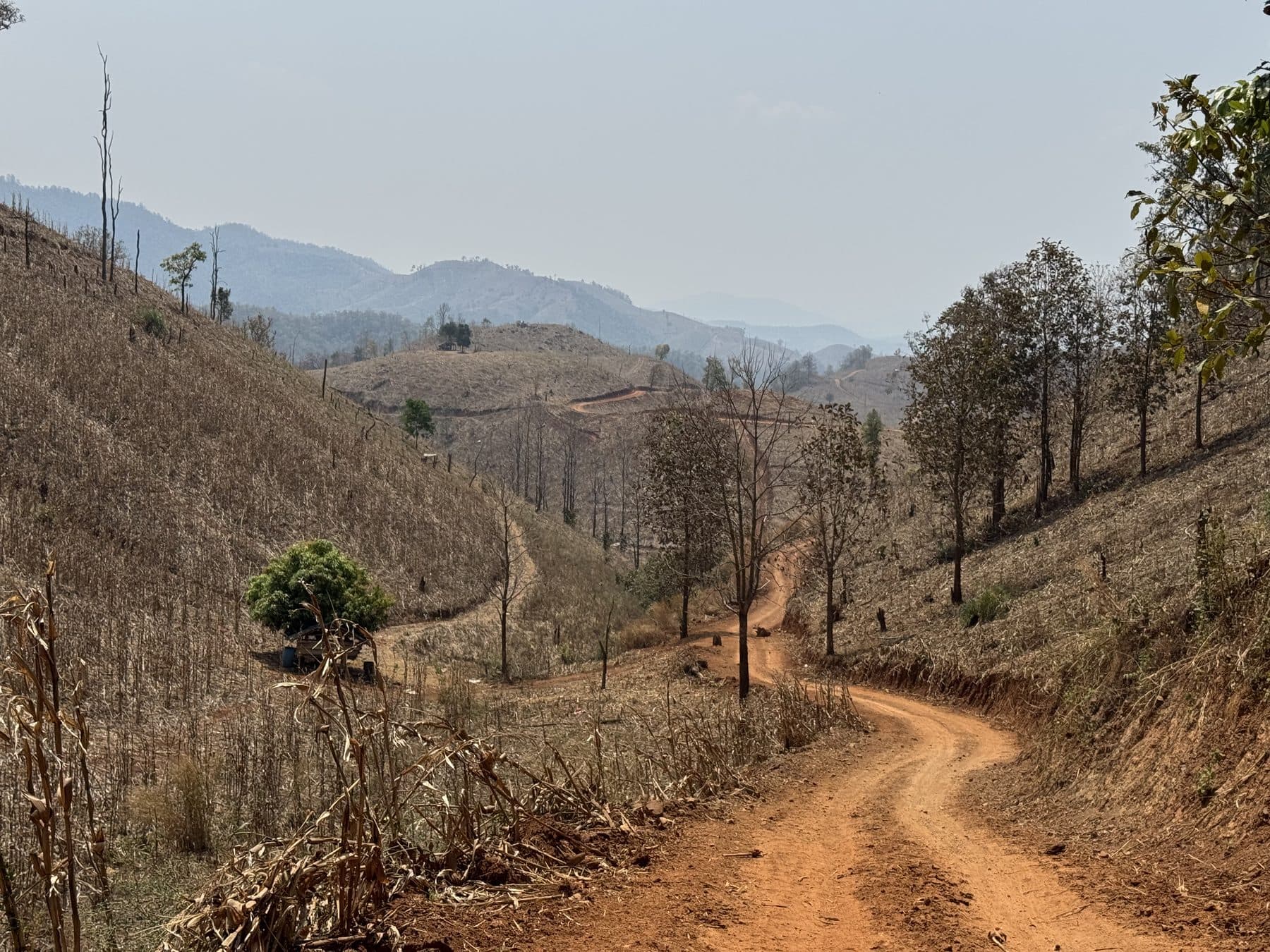
Houay Xai to Pak Beng
A dusty (or muddy) dirt road leading to the riverside town of Pak Beng. While the town isn't much, the hotels are nice and the views are spectacular.
Trail Last Verified: Feb 16, 2026
Verification needed soon
Map

Images

Get Route
PriceIn Stock
Free
FormatGPX Download
DeliveryInstant
CompatibilityAll GPS Devices
What's Included
- ✓High-quality GPX file for GPS navigation
- ✓Waypoints for fuel stops and points of interest
- ✓Detailed route notes and tips
- ✓Lifetime access to download
Details
Duration
Full Day
Location
Pak Beng, Laos
Country
Laos
Distance
142 km
Elevation Gain
2650 m gain
Difficulty
Beginner
Best Season
Year Round
Fuel Stops
In All Small Towns
Water Crossings
None
Explore More Routes
Other dirt bike routes you might enjoy

Reviews & Ratings
See what other riders have to say about this route
No reviews yet. Be the first to review this route!