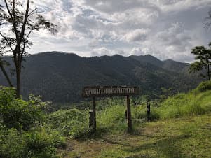
Ban Mon Hin Lai and the Waterfall
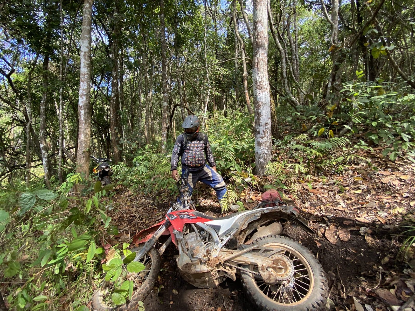
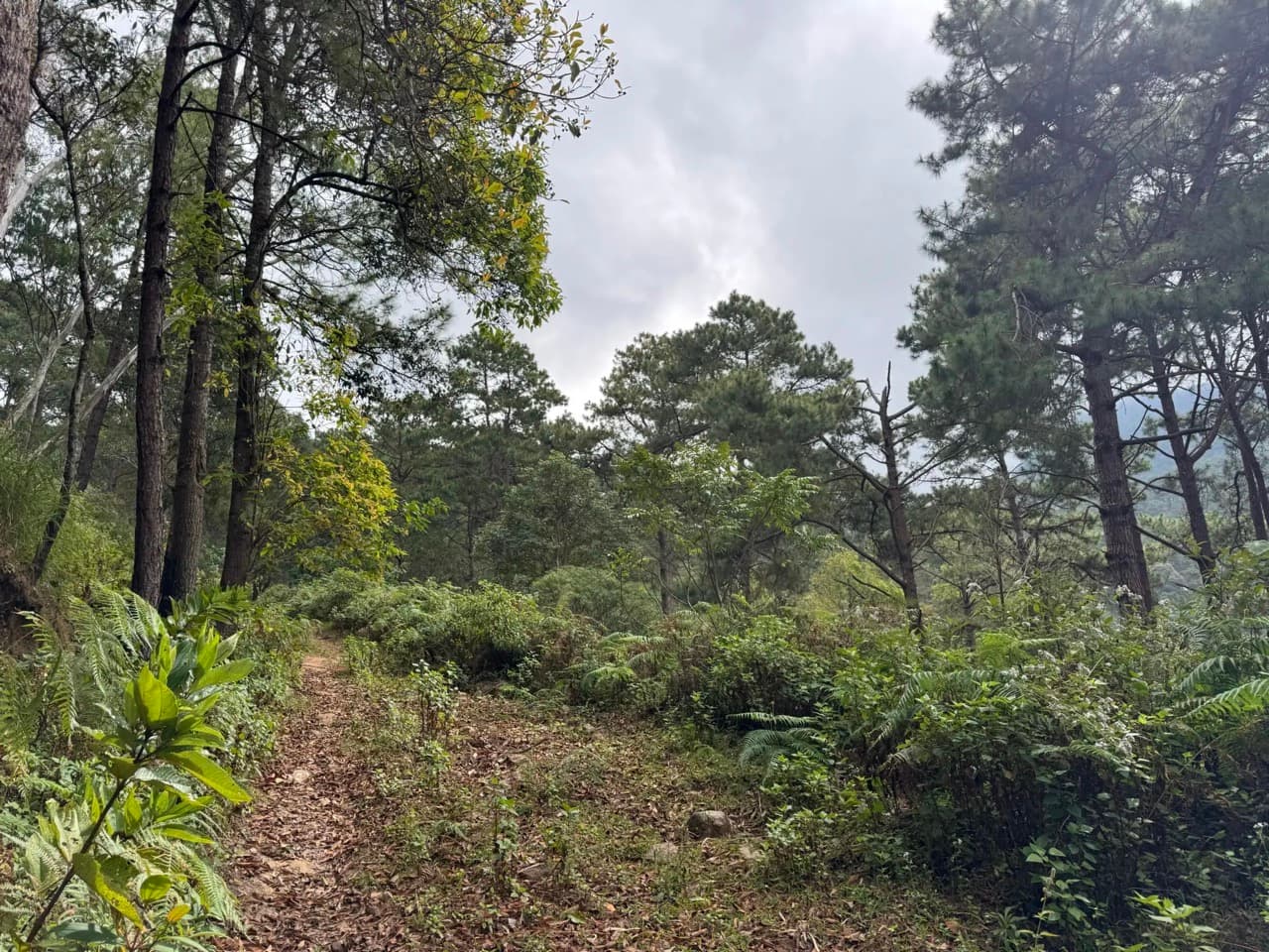
A great ride through the Silanna National Park up to a secluded waterfall overlooking the Phrao valley. Slippery, forested and, at times, a bit steep, this track is a great ride at the end of rainy season when the waterfall still is pumping but the ground has dried a bit.
Trail Last Verified: Jun 30, 2026
Recently verified
Map

Images
Get Route
PriceIn Stock
Free
FormatGPX Download
DeliveryInstant
CompatibilityAll GPS Devices
What's Included
- ✓High-quality GPX file for GPS navigation
- ✓Waypoints for fuel stops and points of interest
- ✓Detailed route notes and tips
- ✓Lifetime access to download
Details
Duration
Full Day
Location
Phrao
Country
Thailand
Distance
156.4 km
Elevation Gain
2125 m
Difficulty
Intermediate
Best Season
October - November
Fuel Stops
In Small Villages
Water Crossings
A few
Explore More Routes
Other dirt bike routes you might enjoy

Reviews & Ratings
See what other riders have to say about this route
No reviews yet. Be the first to review this route!