The Mae Sa to Mae Chaem route is 119 km of dirt, and it is published here as an easy one. What the route page cannot tell you is where it starts from, which in my case is 109 km away. Ride out to the beginning of it, ride the thing, then ride home, and an easy route becomes a 336 km day with 10,511 m of climbing in it. I left at 09:36 and got back at 19:31. The last two hours were in the dark.
| Quick Facts | |
|---|---|
| Date | Sunday 18 October 2026 |
| Distance | 336.2 km — of which the route itself is 118.9 km |
| Time | 09:36 to 19:31, just under ten hours elapsed |
| Elevation | 283 m to 1,723 m, around 10,511 m of climbing |
| Riders | 1 — a Honda CRF250L |
| Season | Start of the dry season (mid-October) |
| Surface | Dirt and farm road, dry in the open, wet and rutted in the forest |
| Water crossings | Several, all shallow |
| Weather | Clear all day, no rain |
| Notable | Mae La Noi border section, sunset at 18:02, Doi Inthanon in the dark |
Getting to the start
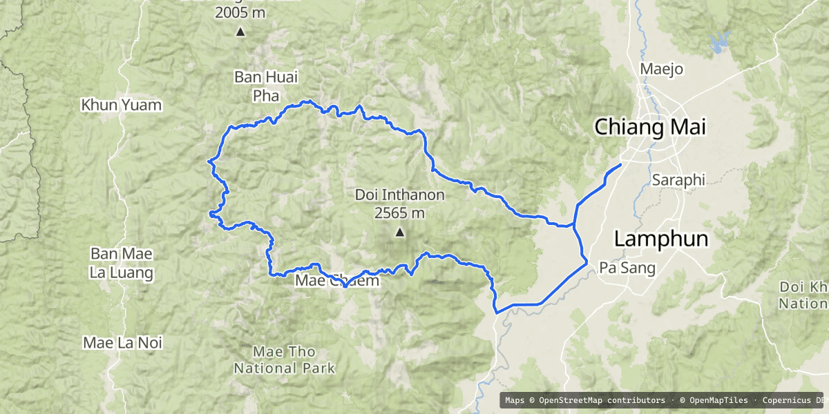
Out of Ban Ton Kwen at 09:36, and stopped again seven kilometres later for fuel and breakfast, which took twenty-two minutes and was the longest I stood still until Mae Chaem. After that it is three and a quarter hours of getting somewhere — Mae Wang, then up, then the long thin roads through Mae Chaem district that are already better than most people's whole ride. Thirty-three kilometres an hour average and 3,236 m of climbing, and none of it is the route yet.
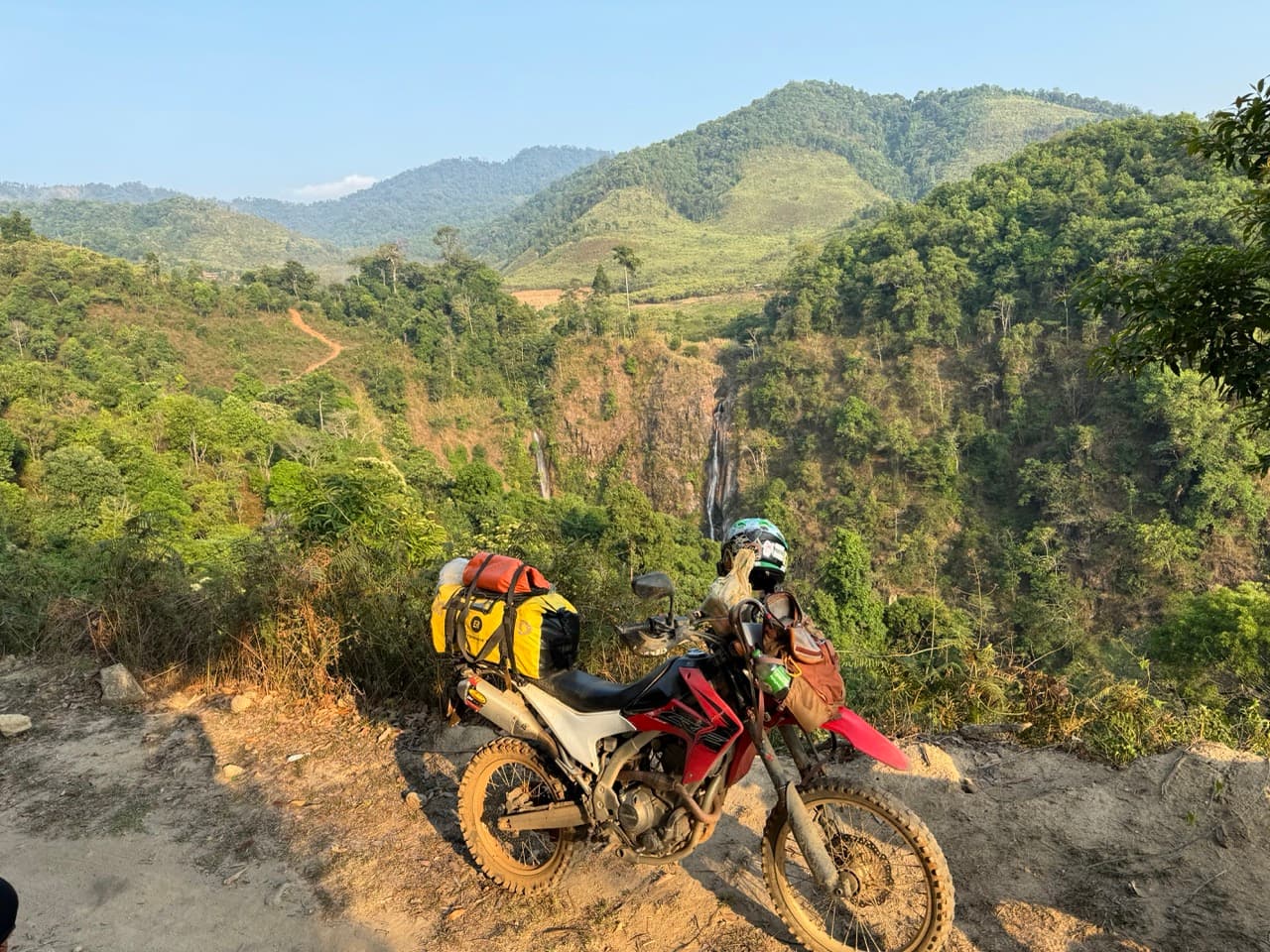
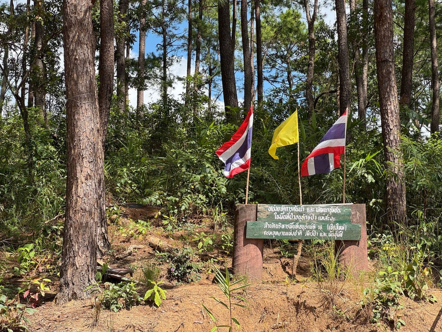
I did not photograph any of the first eighty kilometres. The camera came out at a forestry sign for the Mae Sa Nga watershed, three flags stuck in the dirt beside it, at about half past eleven. From there to Mae Chaem there are pictures.
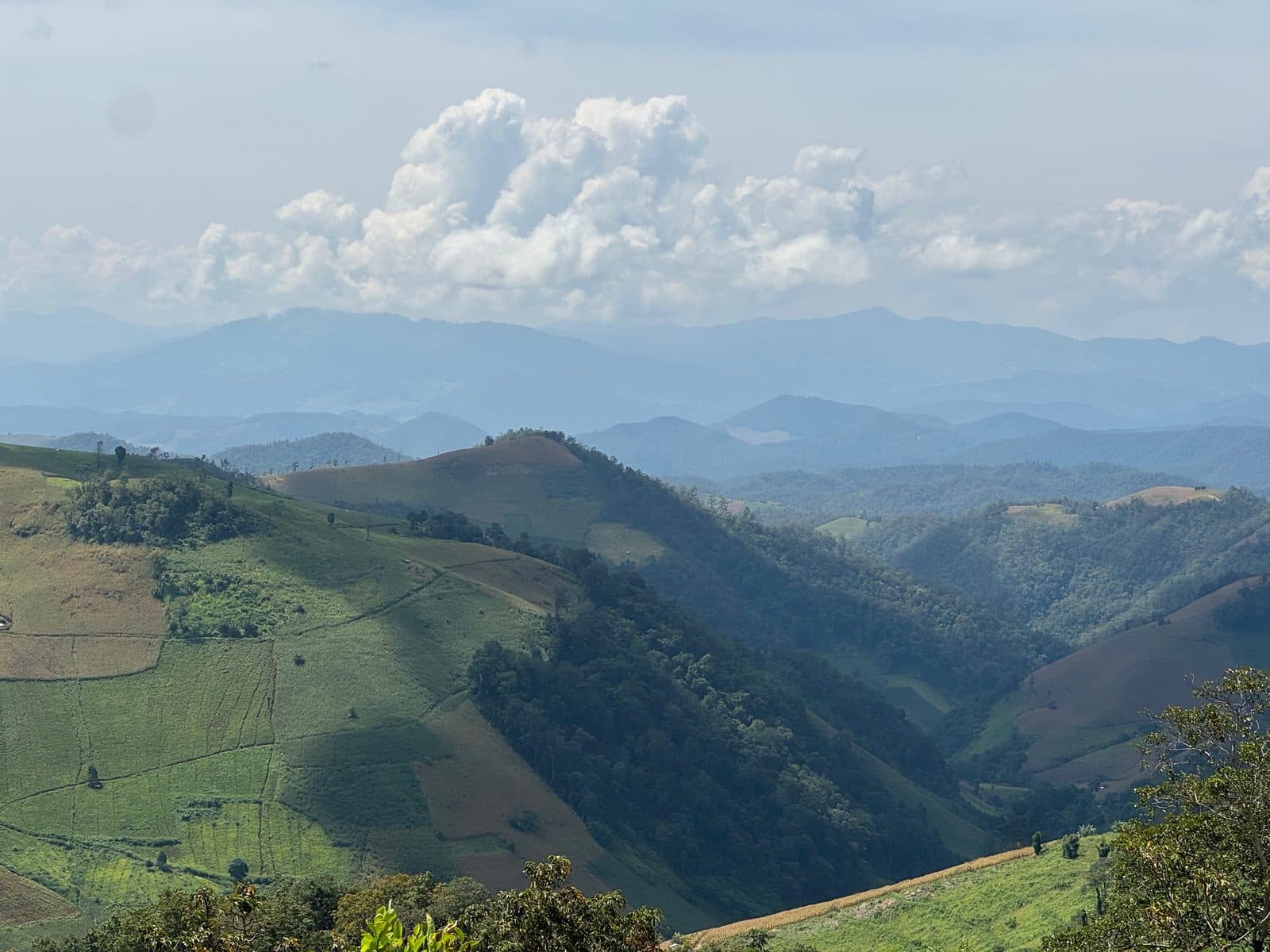
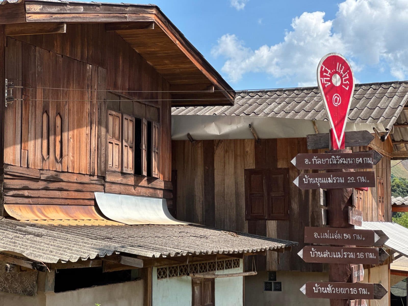
The village of Mae Sa arrives at 12:42 and I stopped for eleven minutes. This is a different Mae Sa from the valley north of Chiang Mai that everyone means when they say the name — it is a village in Mae Chaem district, and it is where the route actually begins.
The route itself
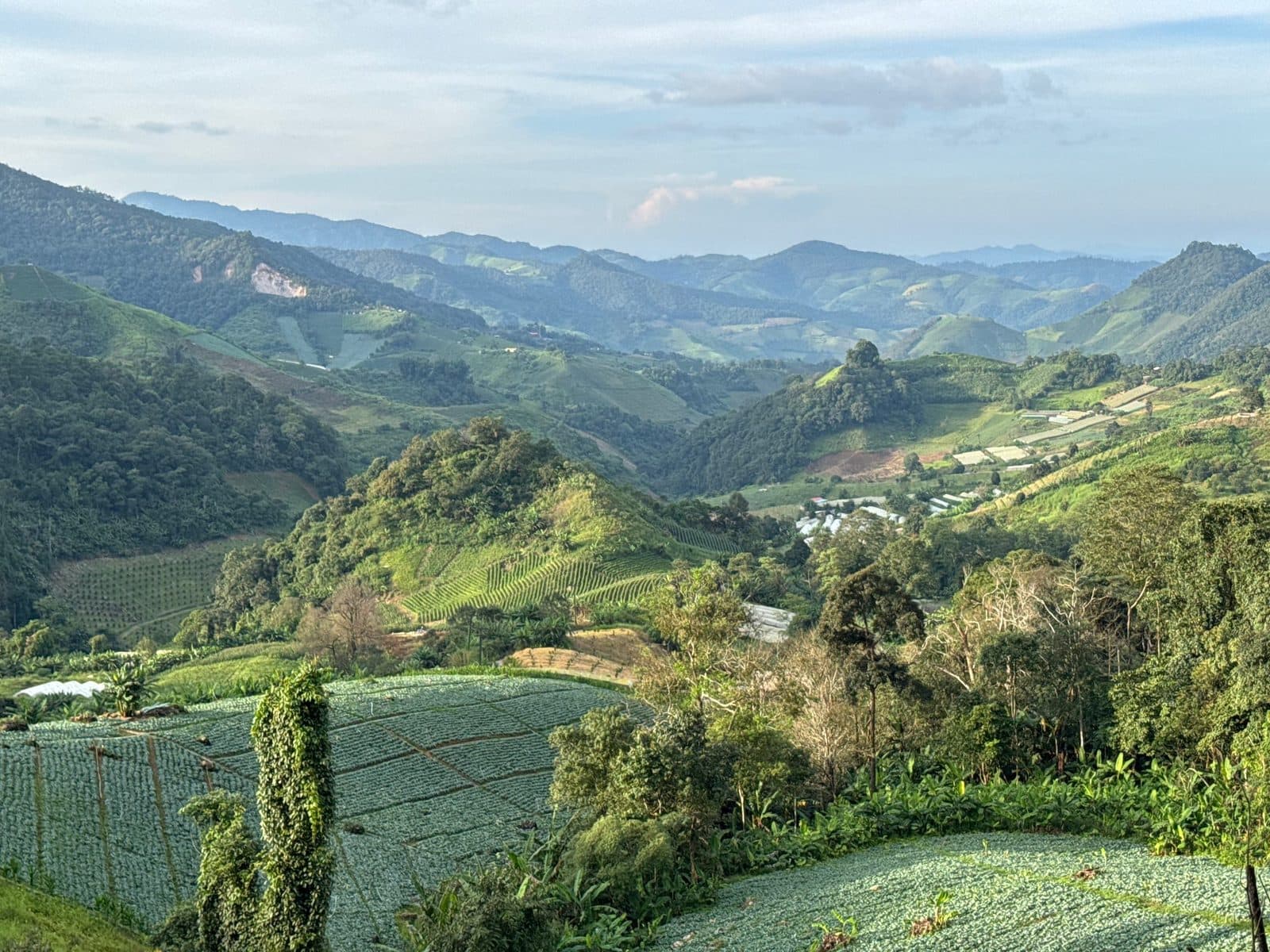
One hundred and nineteen kilometres, 12:53 to 17:37, four hours and forty-four minutes at an average of twenty-five an hour. That number is the honest description of this route: it is not difficult, and it is not quick either. There is 5,429 m of climbing inside it, more than the approach and the ride home put together, and it goes up and down continuously rather than in any way you could plan around.
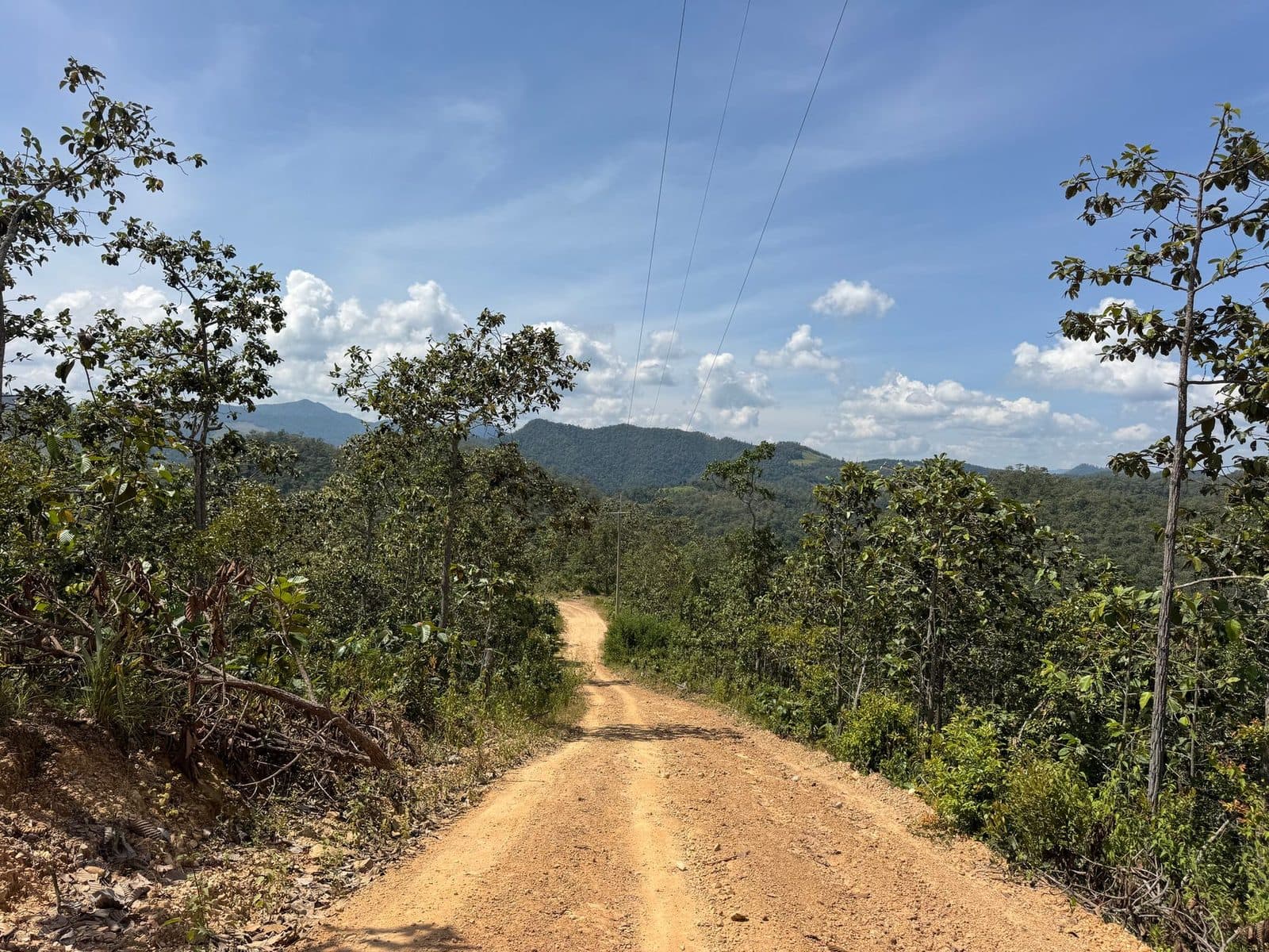
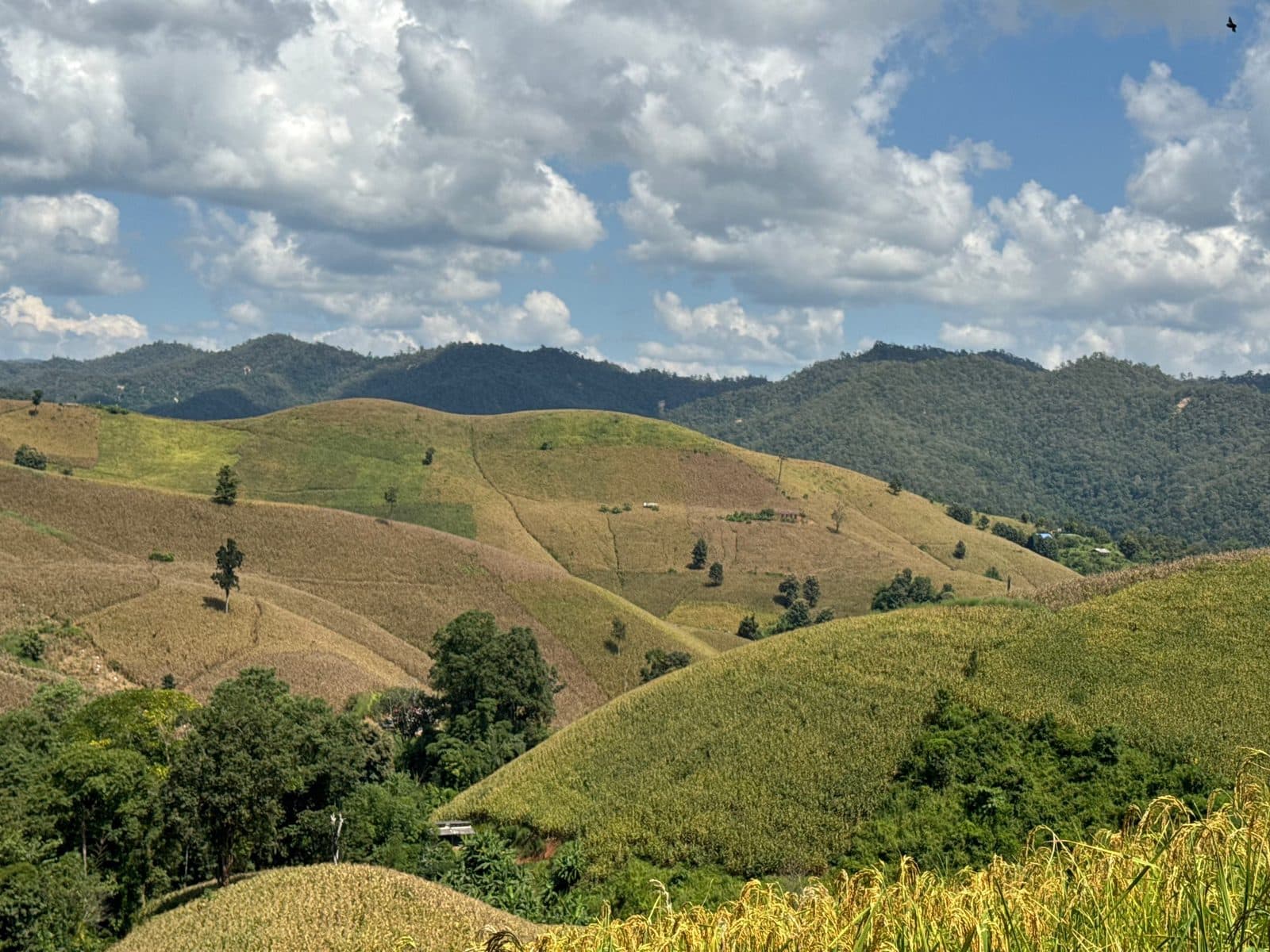
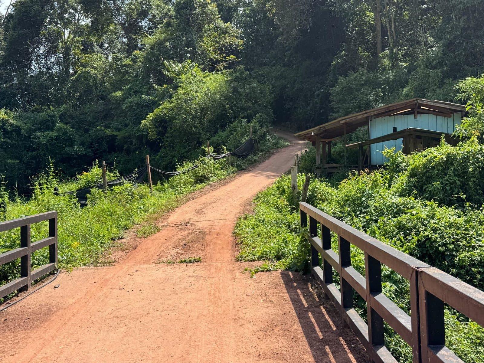
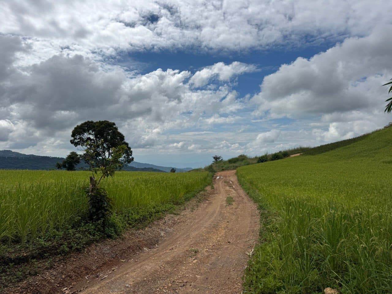
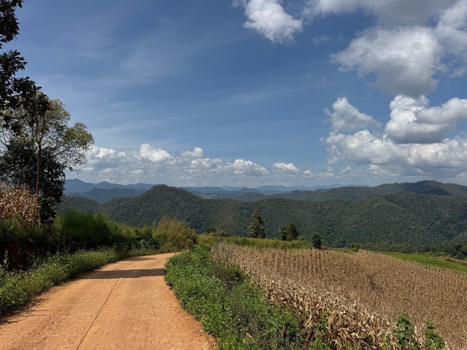
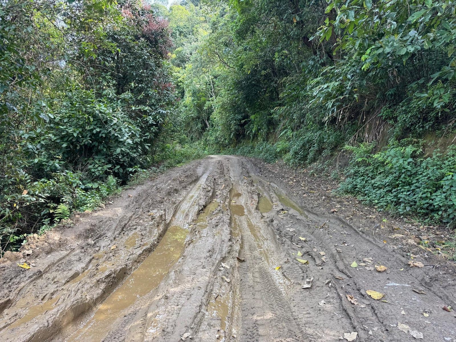
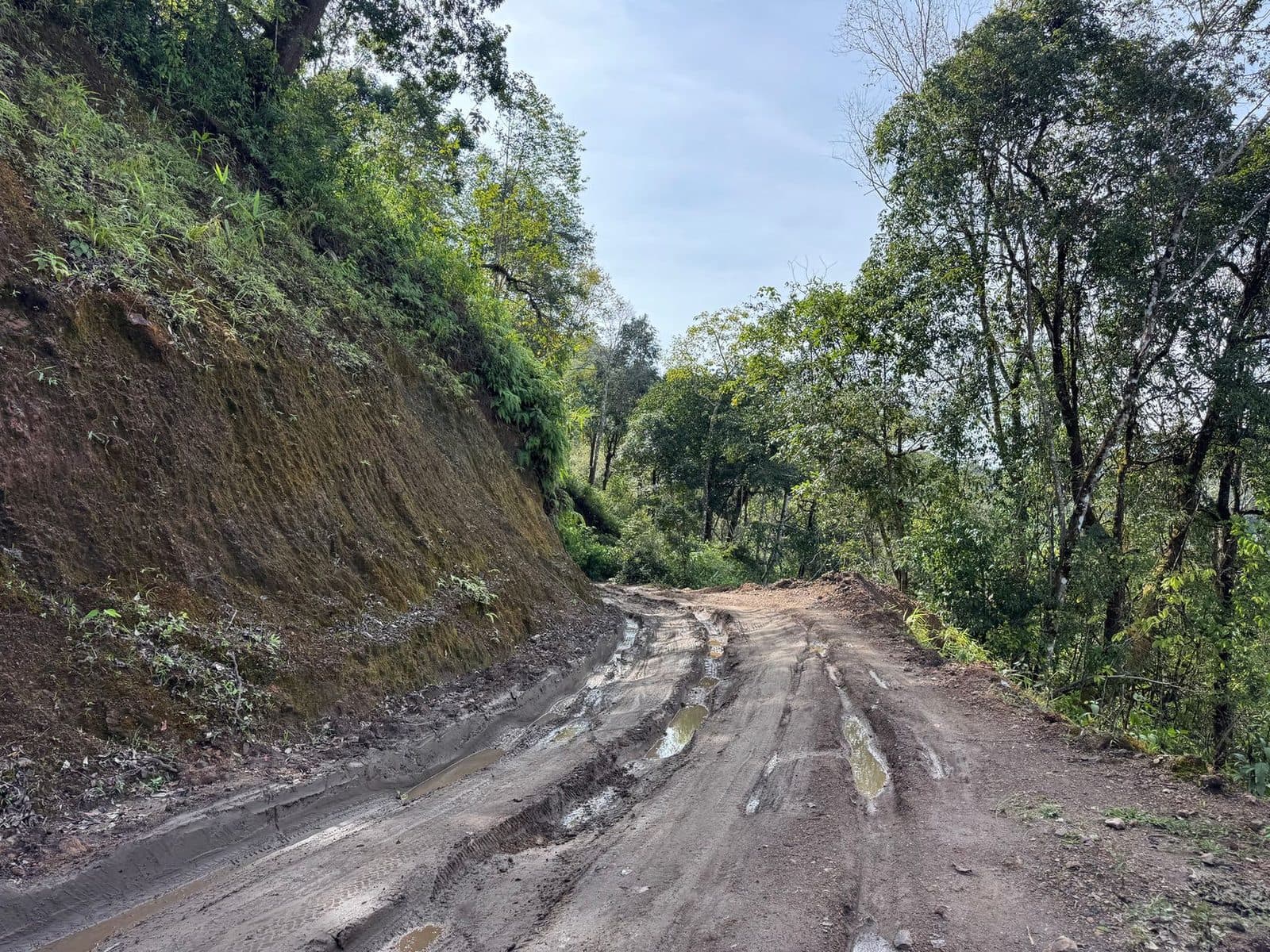
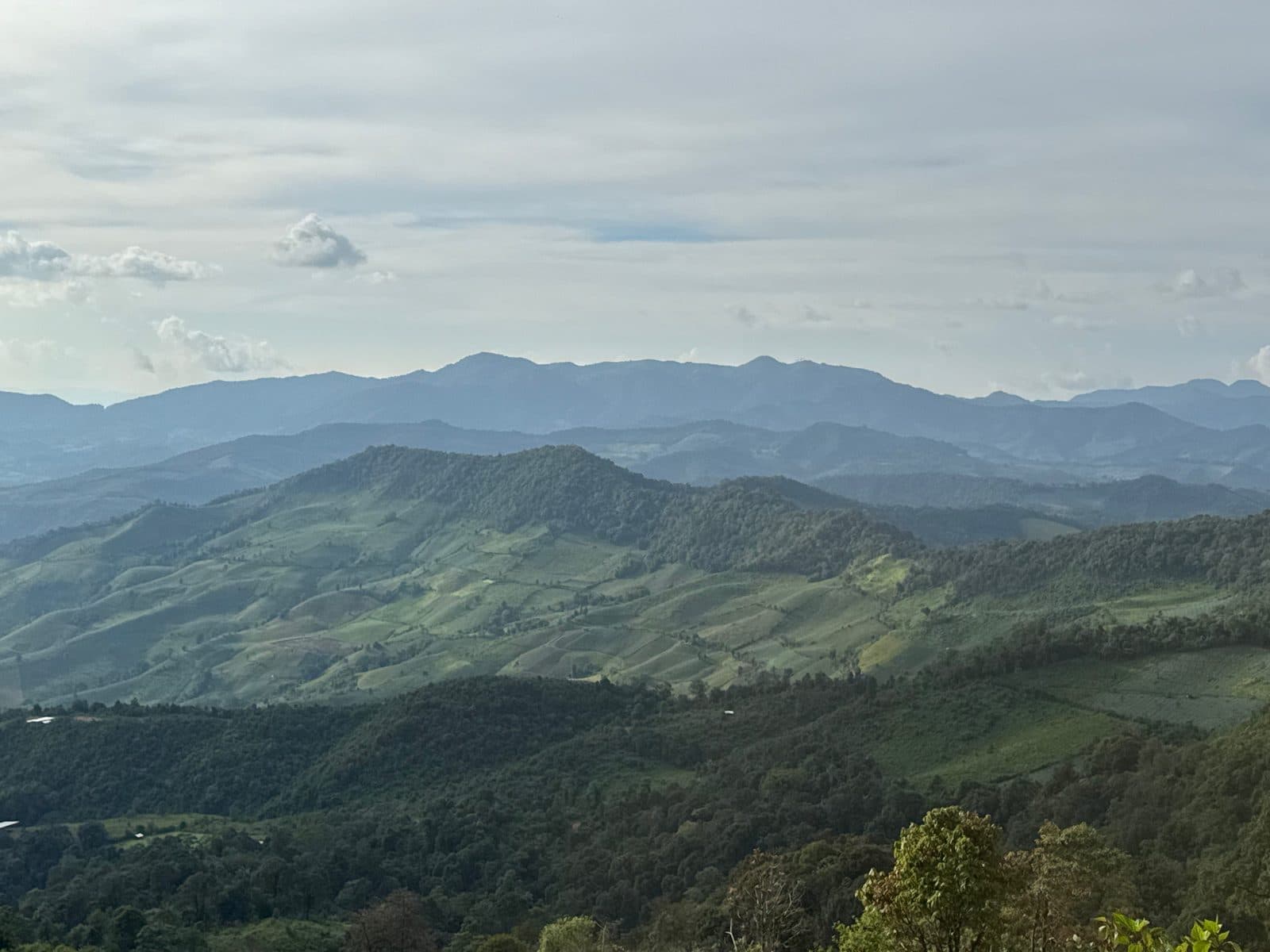
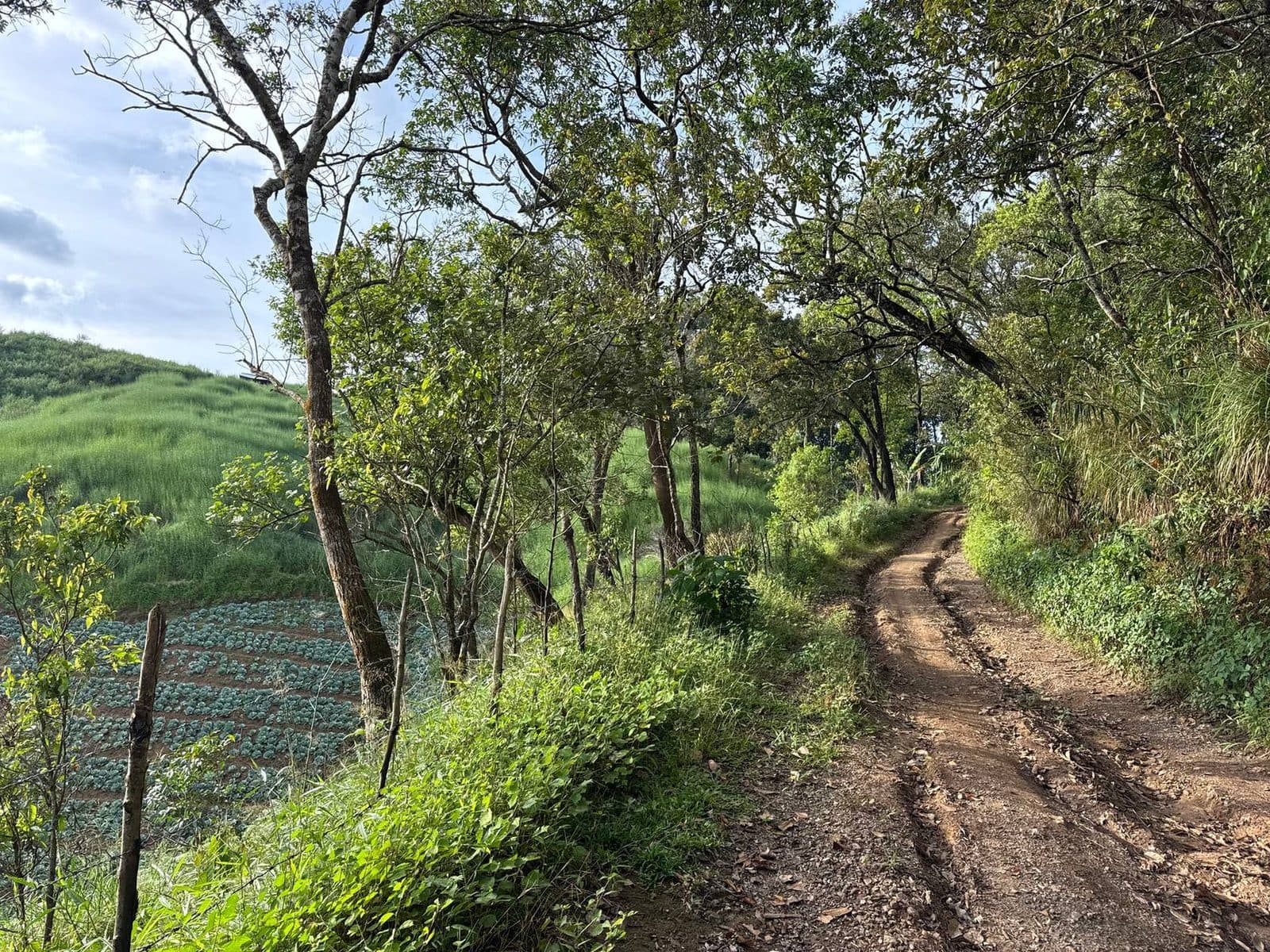
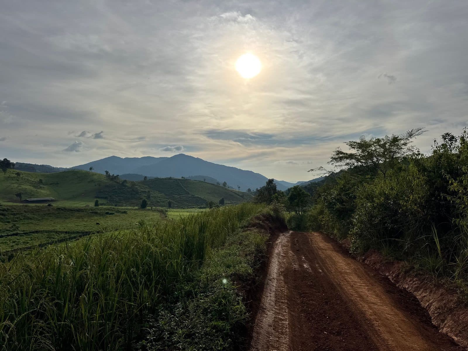
No rain fell on any of it, and in the open the surface was as good as it gets here — dry hardpack, fast, the sort of thing you can hold a gear on for a long time. In the shade it was a different road. Mid-October is the dry season arriving rather than arrived, and the forest sections had not got the message: deep wet ruts, water running off a cut bank straight across the line, and three or four streams still moving over rock. None of it deep, none of it a problem on a 250, all of it slower than it looks in a photograph.
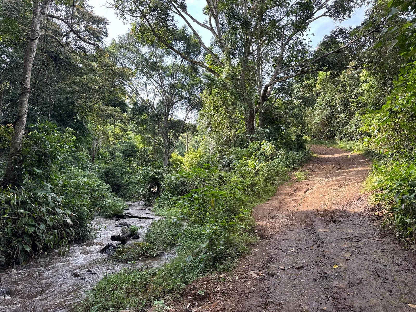
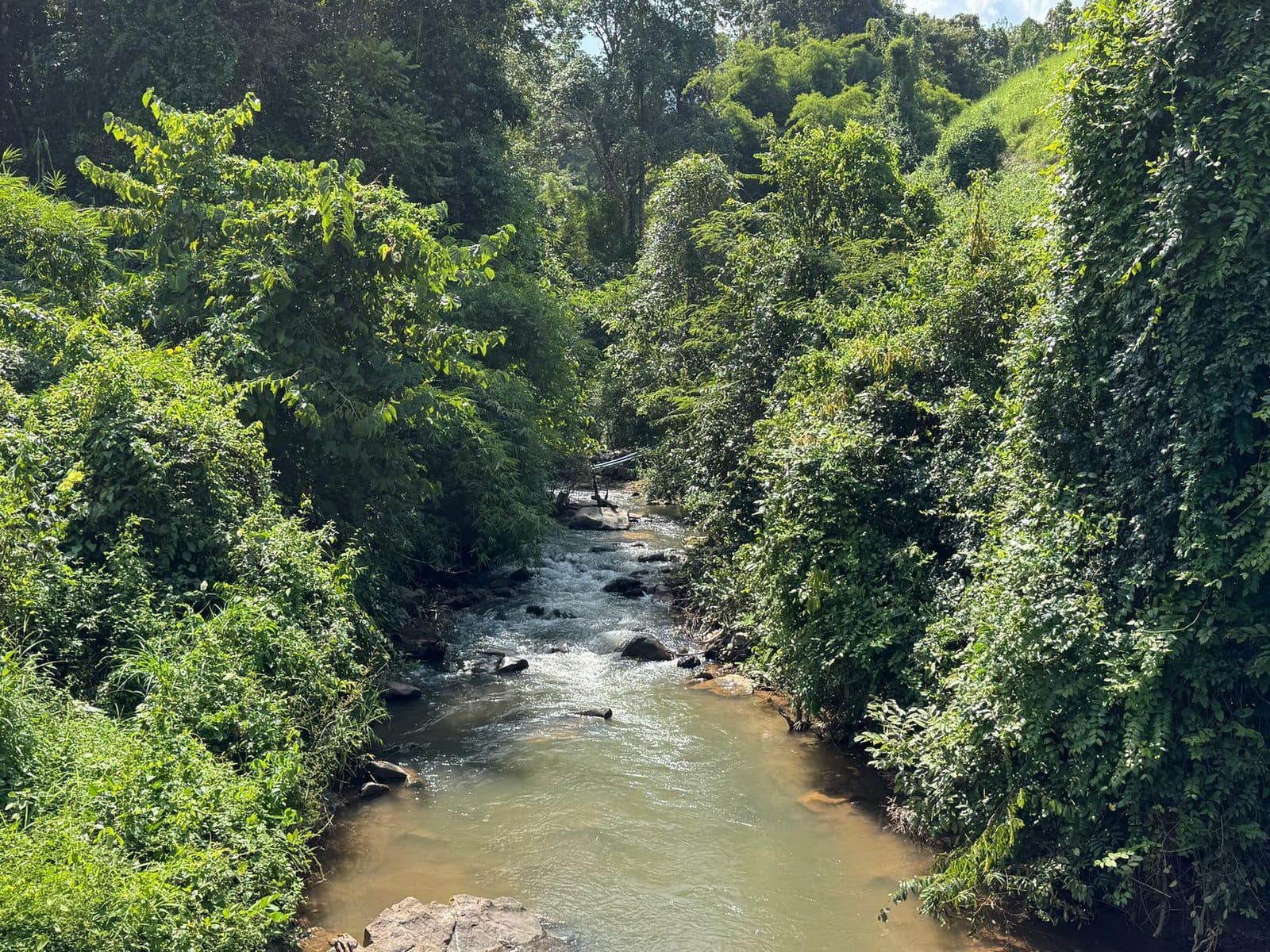
From about 163 km the track starts playing with the provincial boundary, and for the next thirty-five kilometres it is in and out of Mae Hong Son — Ban Khun Mae La, Ban Khun Mae La Noi, Ban Som Poi, Ban Mae Om Lan. This is Mae La Noi district. I stopped for eight minutes at Ban Khun Mae La around quarter past three and it was the quietest the day got.
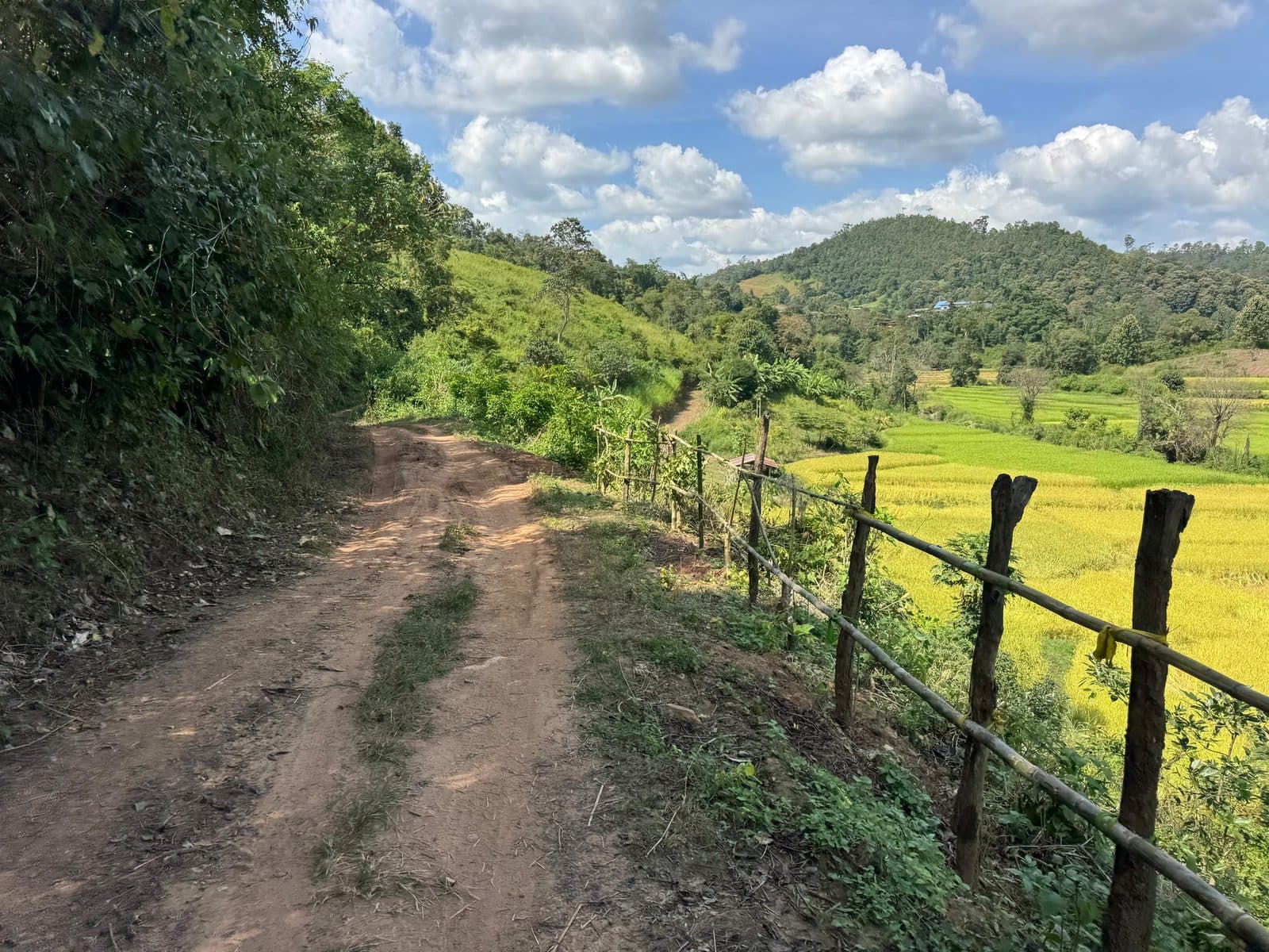
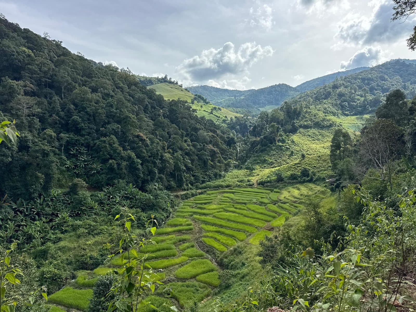
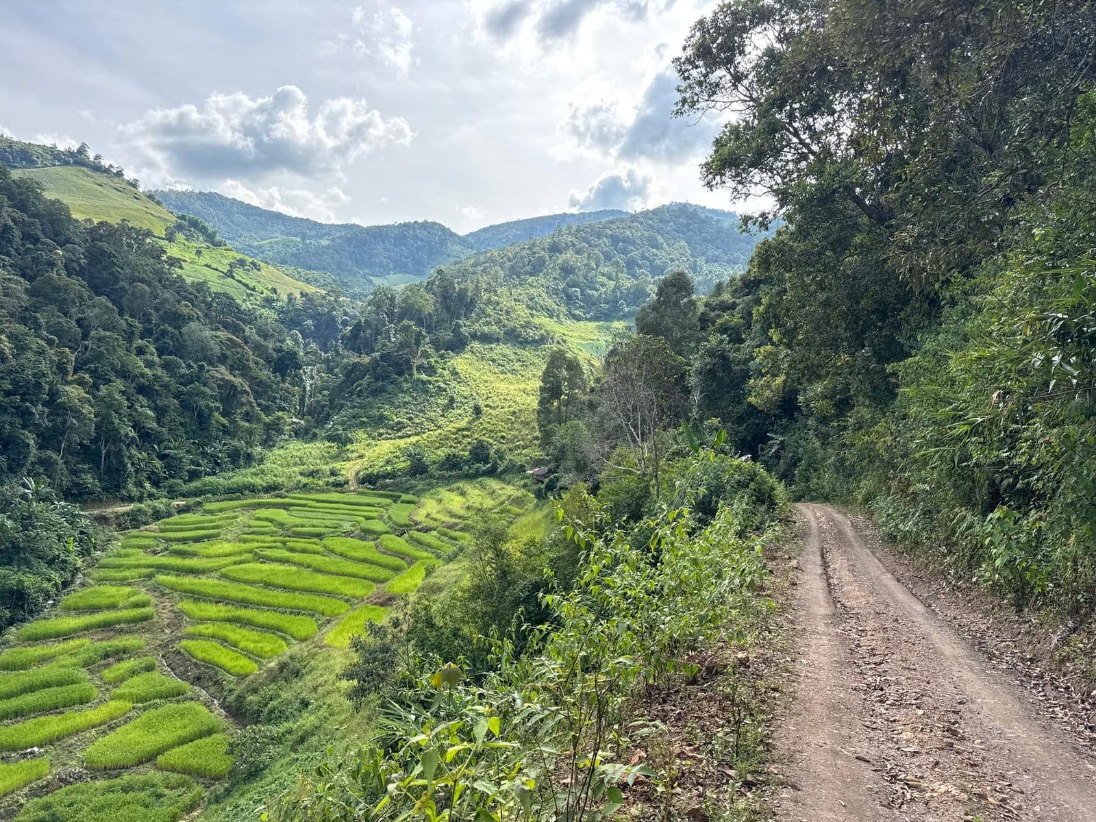
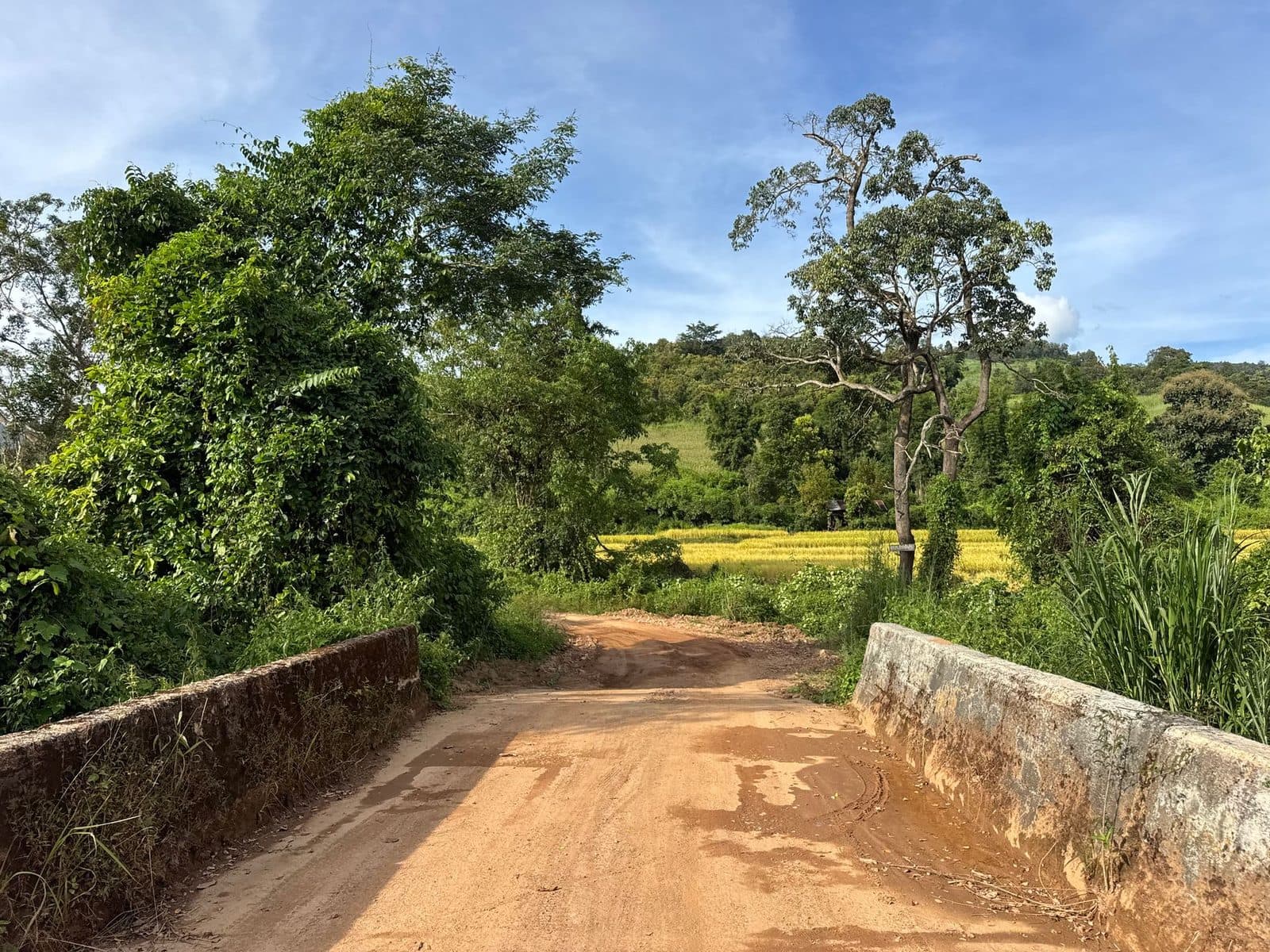
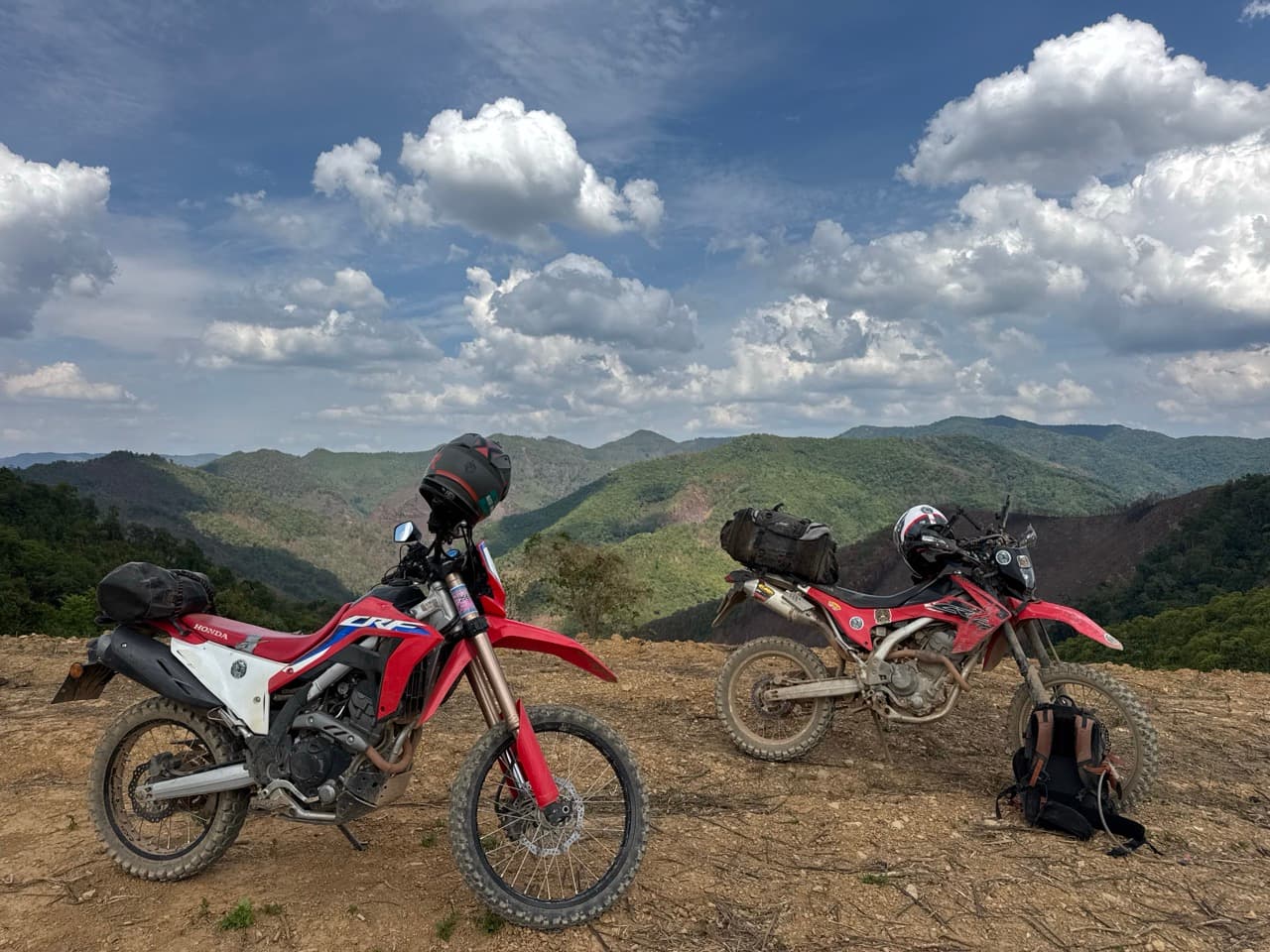
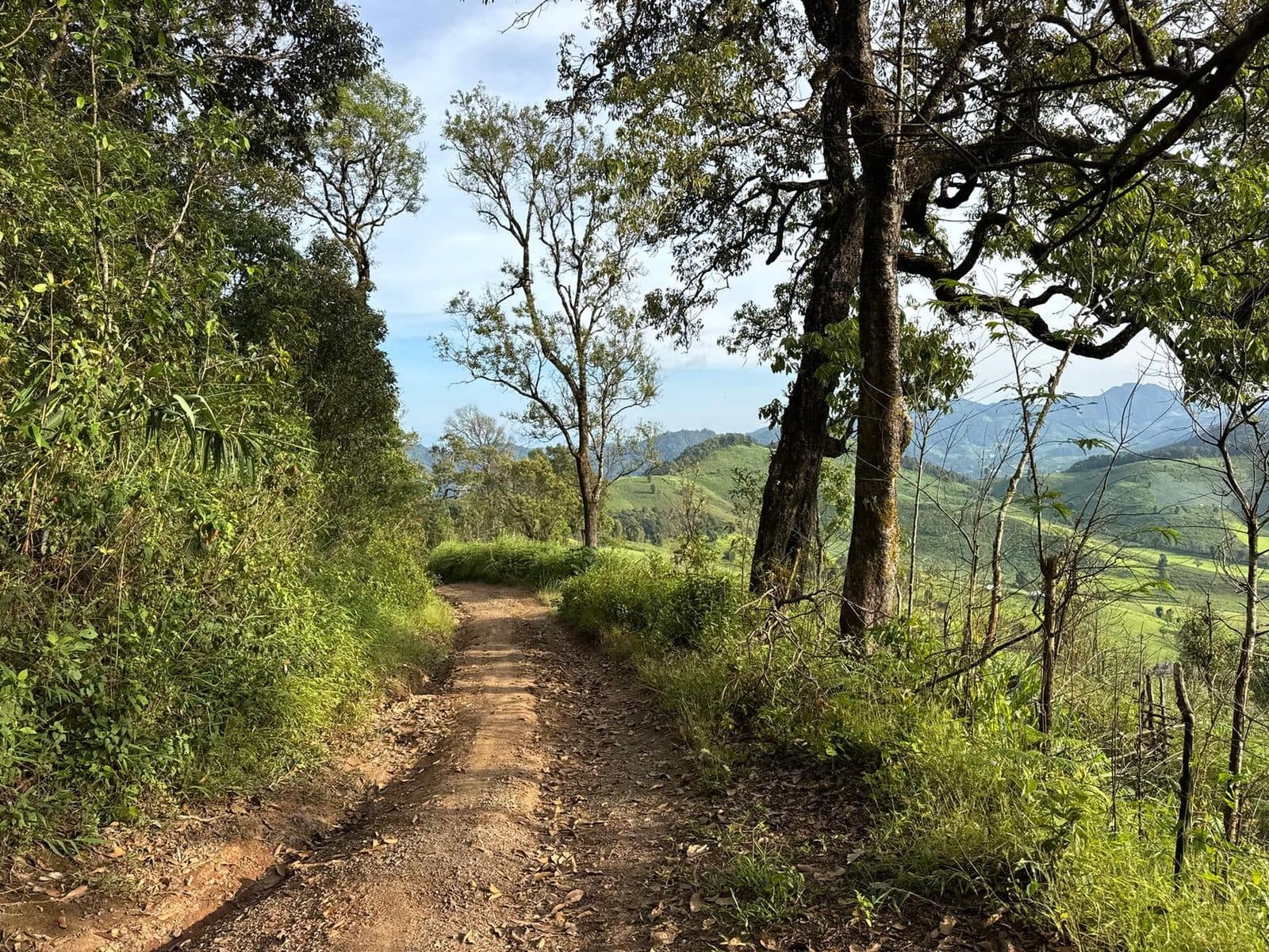
Back into Chiang Mai province around 200 km at Ban Phui Nuea, and the route tops out at 1,573 m just after it. The best surface of the whole day is up here — hardpack running between big trees along the top of a ridge, with the light starting to go long over everything. Then it drops, and keeps dropping, for most of the twenty kilometres into Mae Chaem.
Twenty-two minutes in Mae Chaem
17:37 into Mae Chaem, 228 km done. There is a version of this day where you stay — there are rooms in Mae Chaem, and people ride out here specifically to use them. I had a coffee instead, sat for twenty-two minutes, and did the arithmetic. Sunset was at two minutes past six. Home was 108 km away. There was no combination of those numbers that ended in daylight, and I left at 17:59 anyway.
Home in the dark
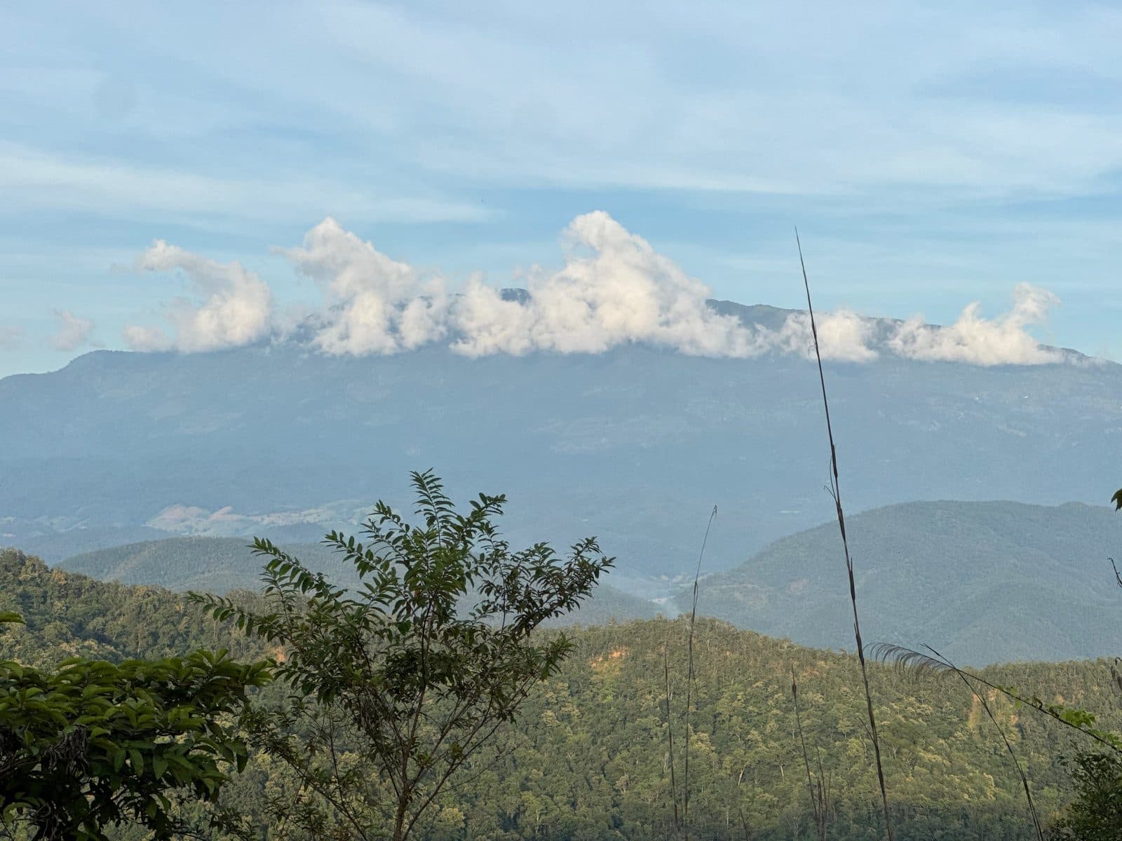
The road from Mae Chaem to Chom Thong goes over the shoulder of Doi Inthanon, and it is tarmac, which is the only reason this leg works at all. It also climbs to 1,723 m — the highest point of the entire day, reached at 18:24, twenty-two minutes after the sun had gone. Cold at the top, and the kind of dark where the only thing that exists is whatever your headlight is pointed at. Then the long descent to Chom Thong, the 108 back up the valley, and Ban Ton Kwen at 19:31. Fifty-seven kilometres an hour for that leg, which tells you something about how much the first 228 km had cost.
Practical notes
- ·Bike — a CRF250L is the right tool and was never working hard. The route is easy; the distance is what asks the questions.
- ·Skill level — the trail genuinely is beginner friendly. The day is not. Those are two separate claims, and conflating them is how you end up on the Inthanon road at night.
- ·Lights — if you ride this as a day trip from Chiang Mai in October, you are finishing in the dark. Decide that in advance rather than at 17:59 in Mae Chaem.
- ·Season — mid-October is the dry season arriving. The open sections were perfect; the forest was still wet. Later in the dry window the shaded parts clean up.
- ·Water crossings — several, all shallow in October. Earlier in the wet season this is a different route.
- ·Fuel — fill up before you leave and again at the first chance. There is a very long middle with nothing in it.
- ·Time — 336 km took nine hours fifty-five door to door. If you want the route without the day, trailer to Mae Sa or stay the night in Mae Chaem.
- ·Doing it properly — staying over in Mae Chaem turns a hard day into two good ones, and you would get to see the town in daylight.
FAQ
- How long is the Mae Sa to Mae Chaem route?
- 118.9 km of dirt from the village of Mae Sa in Mae Chaem district through to Mae Chaem town, which took four hours forty-four at an average of 25 km/h. There is about 5,429 m of climbing within the route itself.
- Can you ride it as a day trip from Chiang Mai?
- Yes, but understand what you are signing up for. The start is 109 km from Hang Dong and the finish is 108 km from home over Doi Inthanon, so the full day came to 336.2 km and just under ten hours, with around 10,511 m of climbing. Leaving at 09:36 I was still an hour from home when it got dark.
- Is it suitable for beginners?
- The riding is, yes — it is dirt and farm road with no technical sections, and the route is rated easy. The 336 km day around it is not a beginner proposition. Ride the route by all means, but get yourself closer to the start first, or stay over in Mae Chaem.
- What was the trail like in October?
- No rain, and the open sections were dry, fast hardpack. The shaded forest sections were still rutted and wet from the season that had just ended, with three or four live stream crossings, none of them deep. Mid-October is the dry season arriving rather than arrived.
- Which provinces does the route go through?
- Mostly Chiang Mai, through Mae Wang and Mae Chaem districts. Between roughly 163 and 198 km the track weaves the provincial boundary in and out of Mae La Noi district in Mae Hong Son, passing Ban Khun Mae La, Ban Som Poi and Ban Mae Om Lan.
GPX Downloads
1 file · 1.8 MB
Want just the route, without the 217 km of getting to it and back? It is on the routes page with its own GPX and the full detail.